


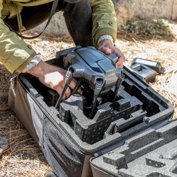
EMLID PHOTO CONTEST

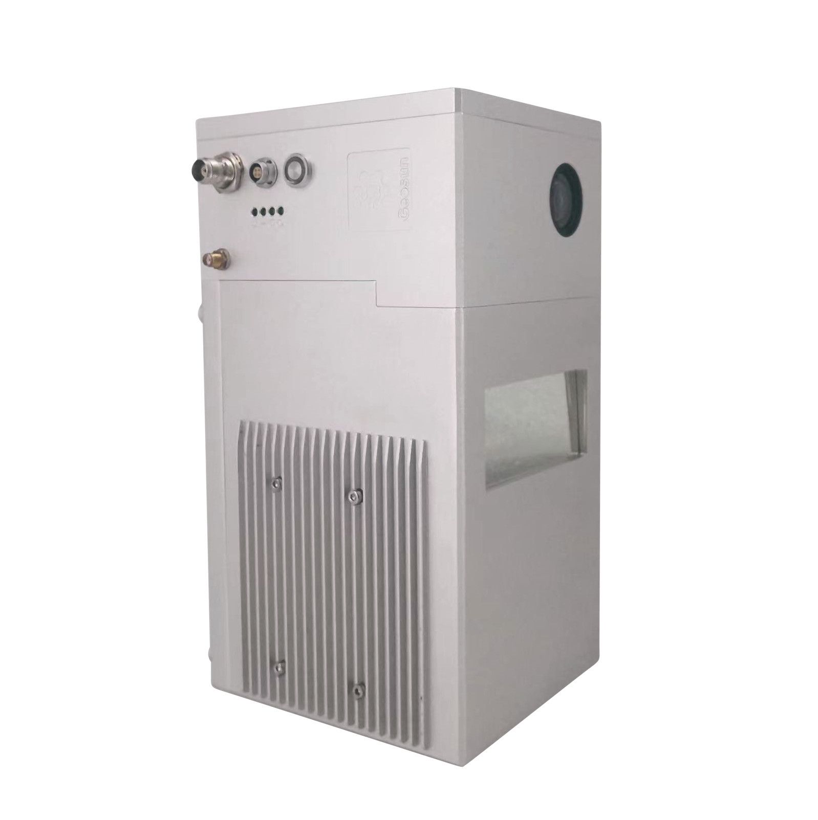
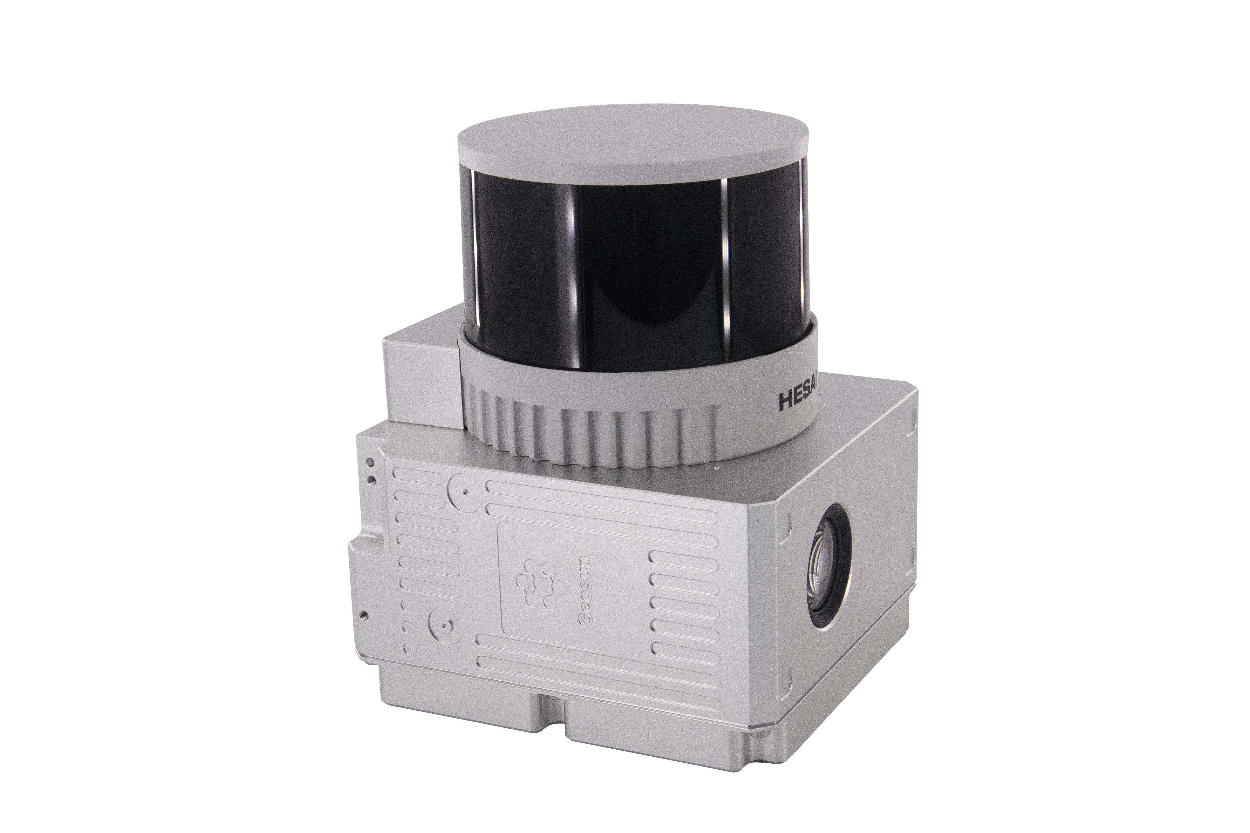
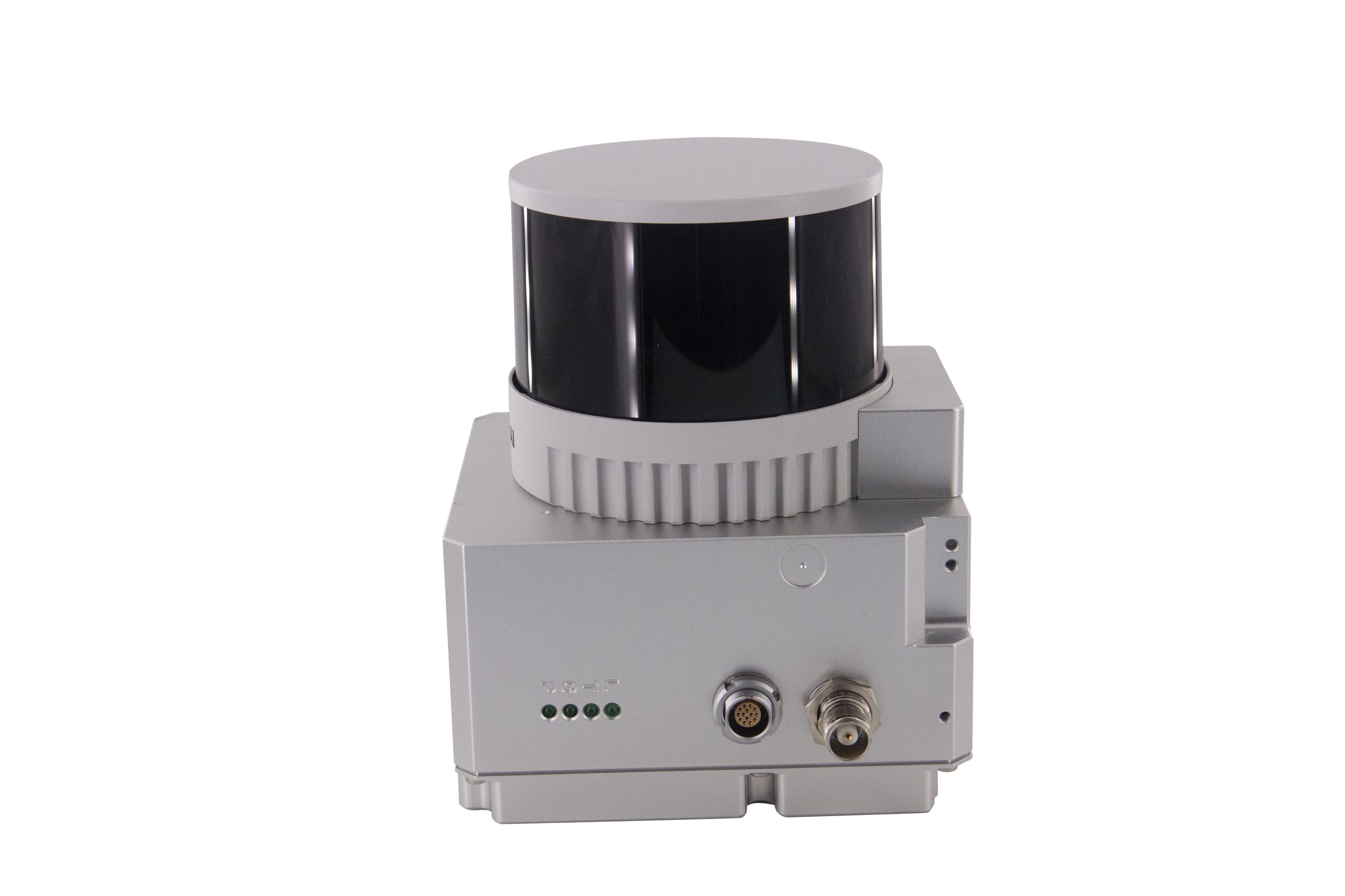
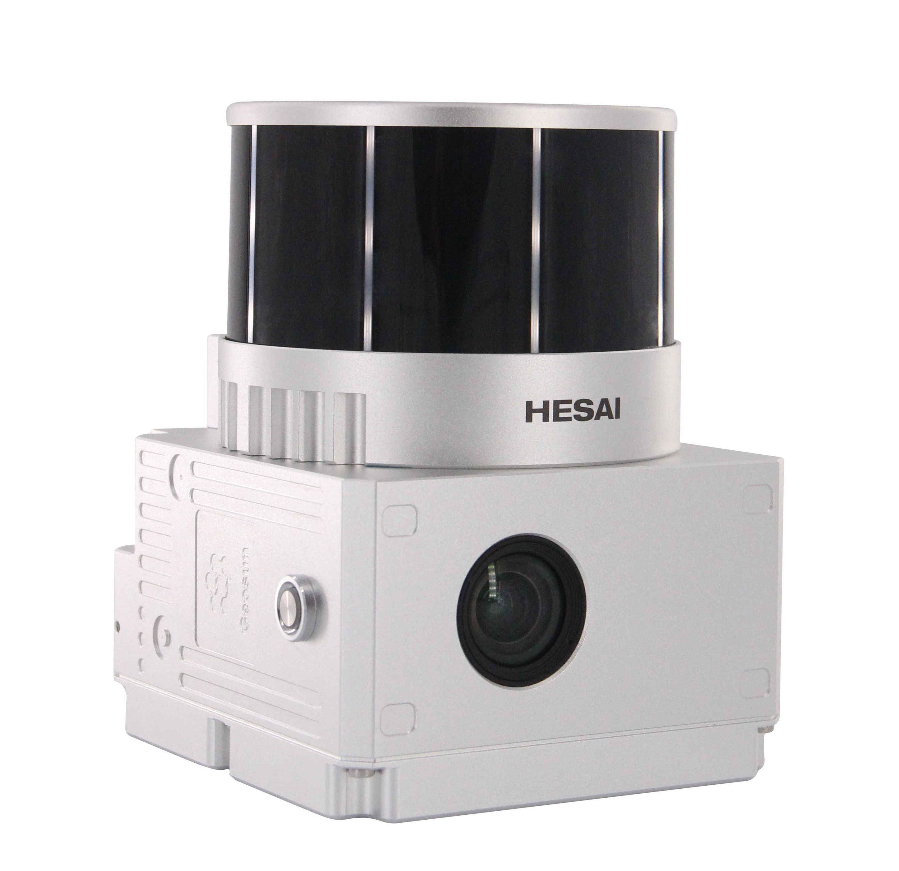
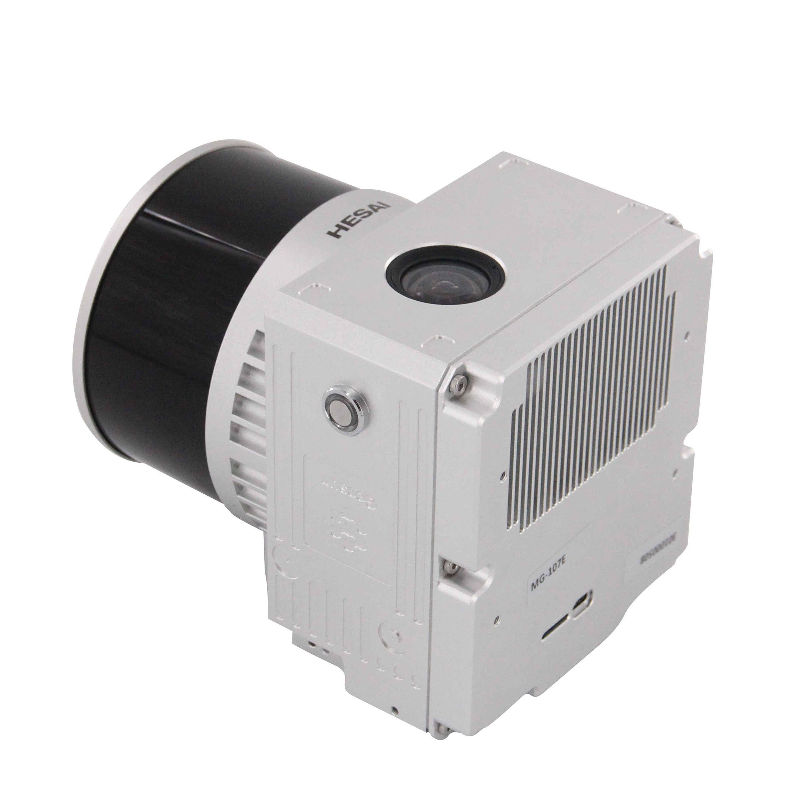
Geosun Lidars
Geosun LiDARs are a high-quality products that offers a combination of accuracy, speed, and efficiency.


New Wingtra LIDAR
Perfectly integrated with the WingtraOne GEN II drone to ensure a streamlined workflow.

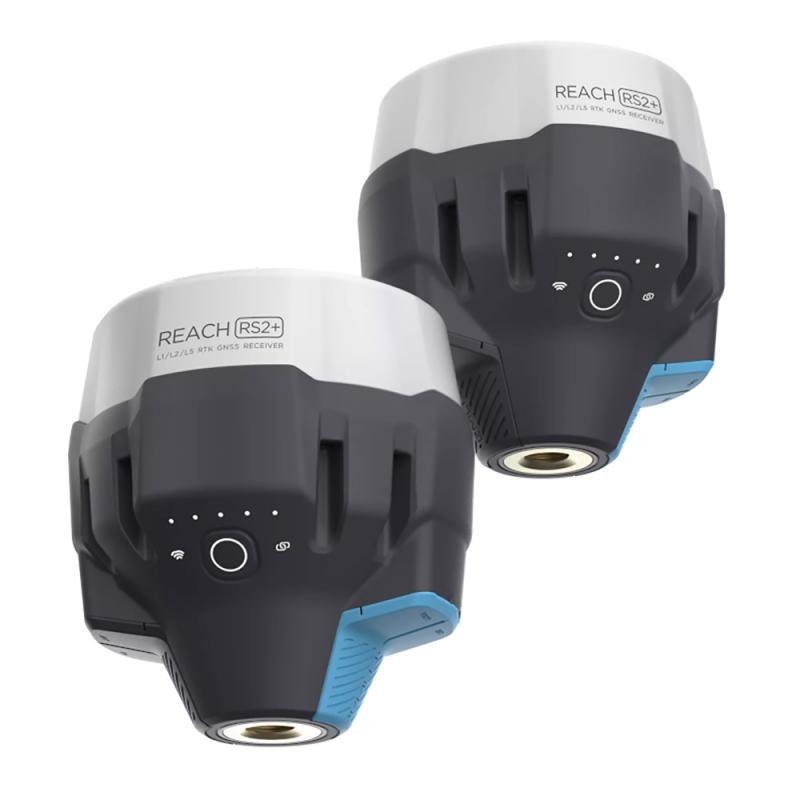
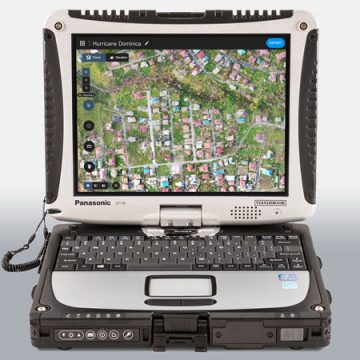
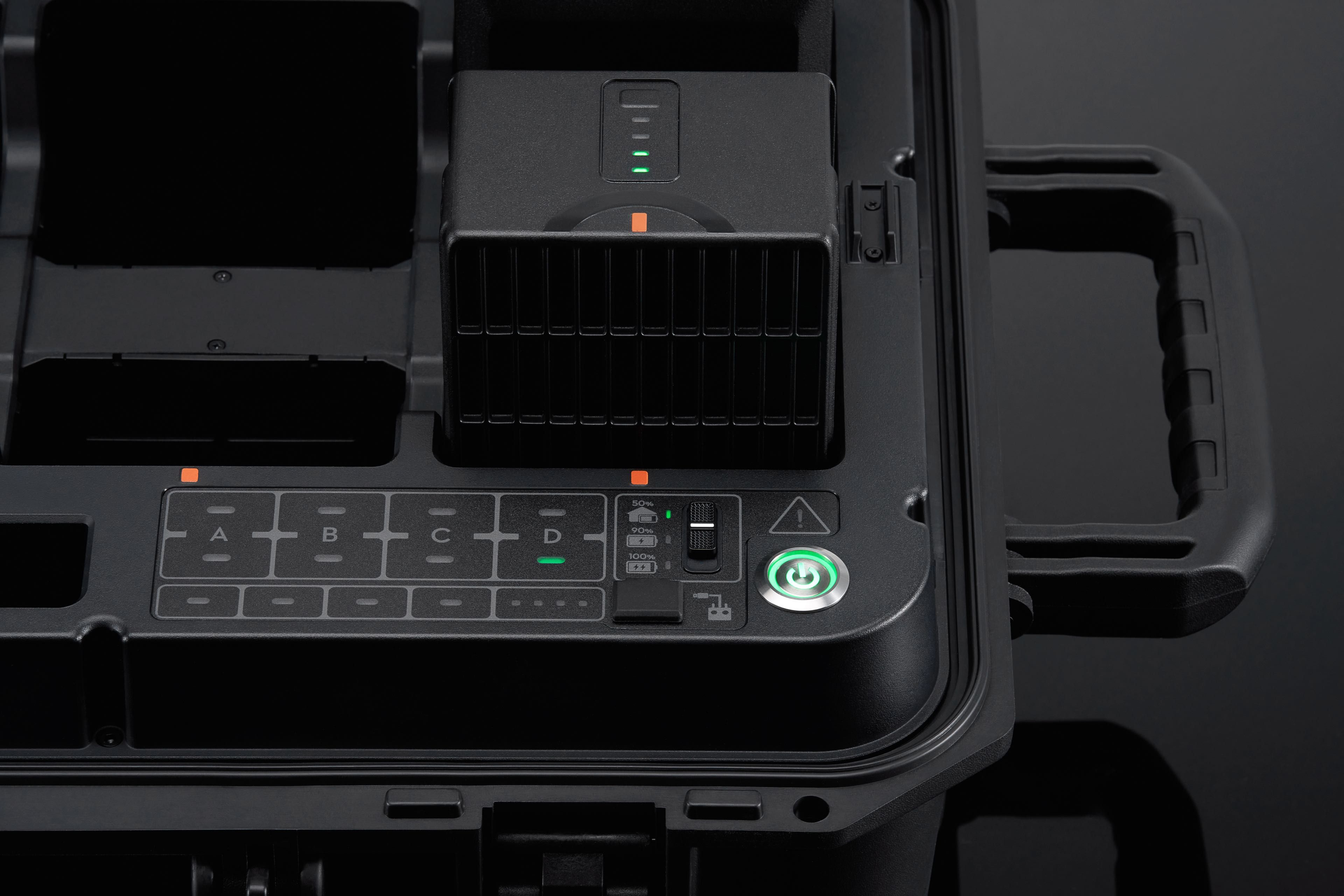
New Emlid Reach RS3
Multi-band base and rover
IMU tilt compensation
LTE modem
Dual-band radio
IMU tilt compensation
LTE modem
Dual-band radio

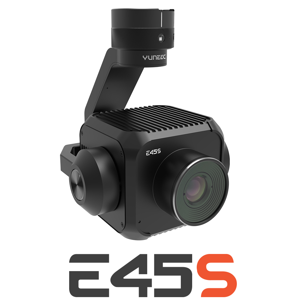
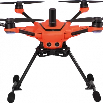
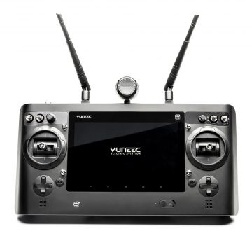
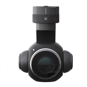
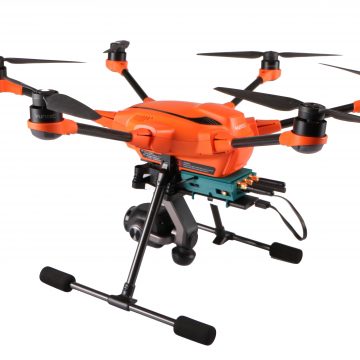
New Yuneec E45S for H510E and H850
Yuneec launched E45S 45MP full frame camera, ideal for professionals in survey and inspection industry!
New Swellpro Fisherman MAX
Launch of Fisherman Max is now available for pre-order and shipping starts on August 1st.


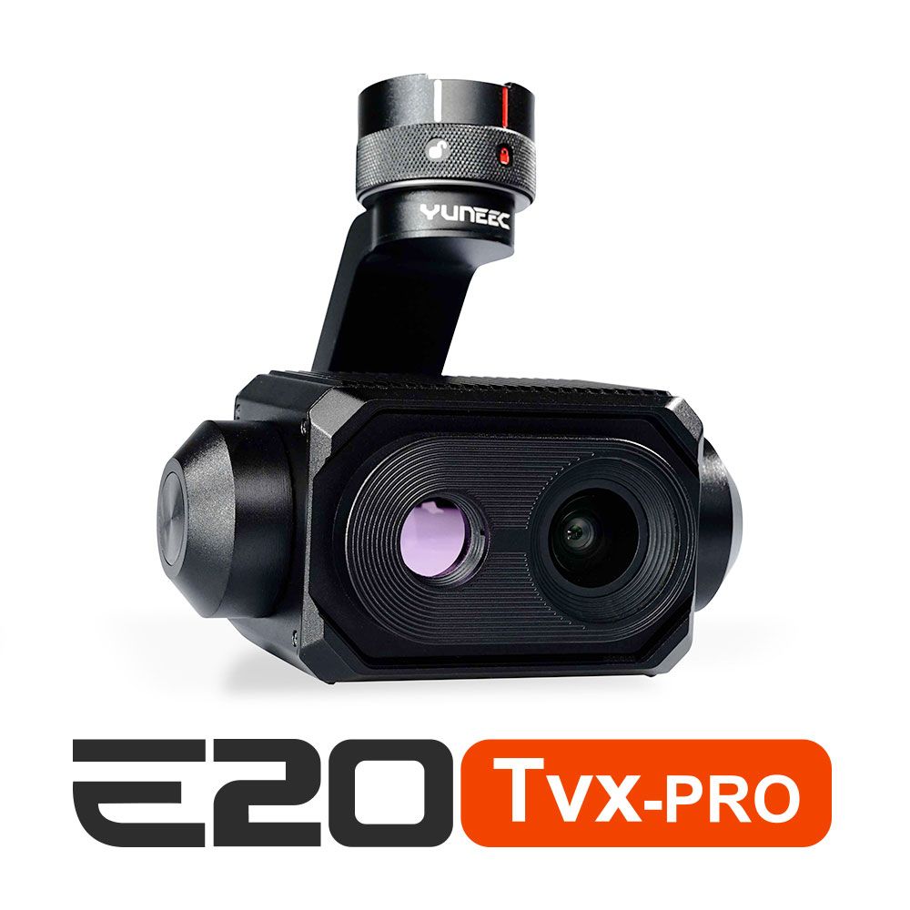
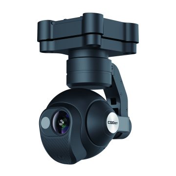
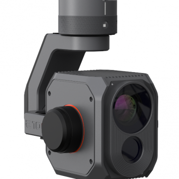
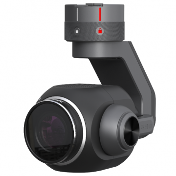
New E20TVX-PRO Thermal camera
Recommended camera for tasks related to Inspection (buildings, solar panels and powerlines), Search and Rescue, Firefighting and Law enforcement

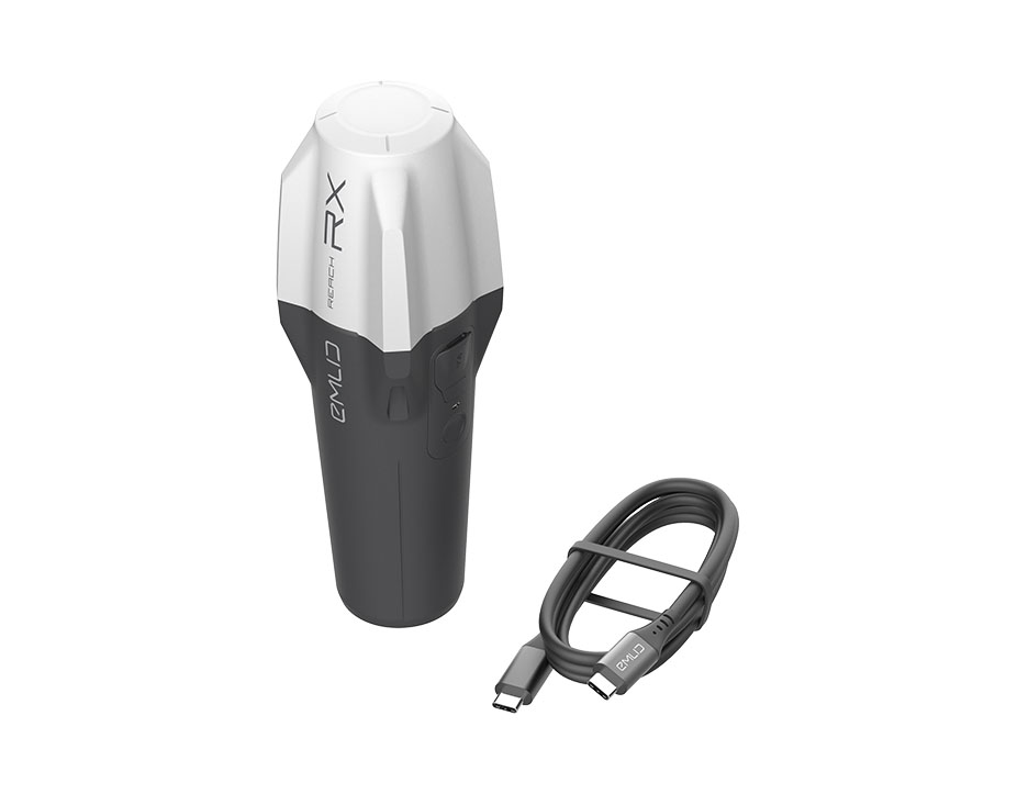
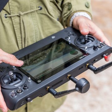
New Emlid Reach RX rover
Emlid Reach RX is a new pocket-sized, lightweight and easy-to-use receiver!

 Surveying & GIS
-
 Vista Rápida
 -
 Vista Rápida
 -
 Vista Rápida
 -
 Vista Rápida
 -
 Vista Rápida
 -
 Vista Rápida
 -
 Vista Rápida
 Mining & Quarries
-
Vista Rápida
-
Vista Rápida
-
Vista Rápida
-
Vista Rápida
-
Vista Rápida
-
Vista Rápida
-
Vista Rápida
 Construction
-
Vista Rápida
-
Vista Rápida
-
Vista Rápida
-
Vista Rápida
-
Vista Rápida
-
Vista Rápida
-
Vista Rápida
 Agriculture
-
Vista Rápida
-
Vista Rápida
-
Vista Rápida
-
Vista Rápida
-
Vista Rápida
-
Vista Rápida
-
 Vista Rápida
 -
Vista Rápida
 Environment monitoring
-
Vista Rápida
-
Vista Rápida
-
Vista Rápida
-
Vista Rápida
-
Vista Rápida
-
Vista Rápida
-
Vista Rápida
 Search & Rescue
-
Vista Rápida
-
Vista Rápida
-
Vista Rápida
-
Vista Rápida
-
Vista Rápida
-
Vista Rápida
 Other applications
-
 Vista Rápida
 -
 Vista Rápida
 -
 Vista Rápida
 -
Sale!
 Vista Rápida


Showing 17–32 of 416 results
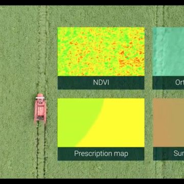

Pix4Dfields – Perpetual License
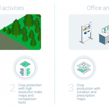
Pix4DFileds - Perpetual License Advanced agriculture mapping software for aerial crop analysis and digital farming. Precision agriculture mapping using images from drones and UAVs The only digital agriculture software focusing on reducing the processing time while incorporating the highest accuracy standards backed up with years of scientific research. Use Pix4Dfields to create prescription maps and maximize crop yields Create accurate field maps, generate insights and analyze field data in real time to increase crop productivity
(Price on request)

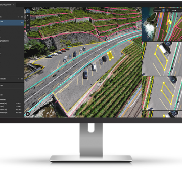
Pix4DSurvey – Yearly Subscription license
Pix4DSurvey - Yearly Subscription license Bridge the gap between photogrammetry and CAD!
(Price on request)
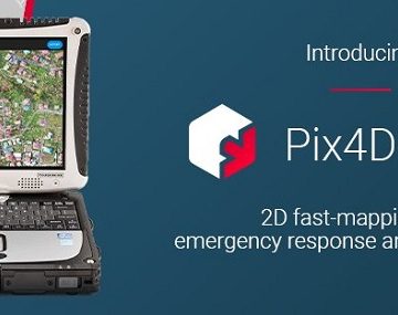
Pix4Dreact – Perpetual License
Pix4DReact - Perpetual License 2D fast-mapping for emergency response and public safety The mapping software for emergency response Get rapid and reliable situational awareness for quick decisions and collaboration in the field.
(Price on request)
Pix4Dreact – Yearly Subscription license
Pix4DReact - Yearly Subscription license 2D fast-mapping for emergency response and public safety The mapping software for emergency response Get rapid and reliable situational awareness for quick decisions and collaboration in the field.
(Price on request)
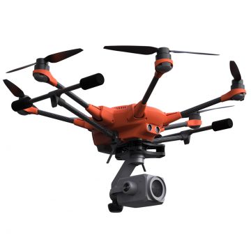
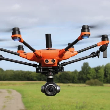
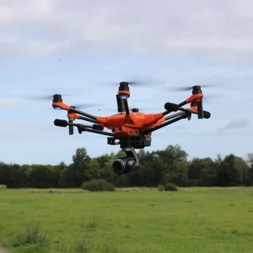
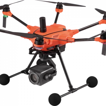
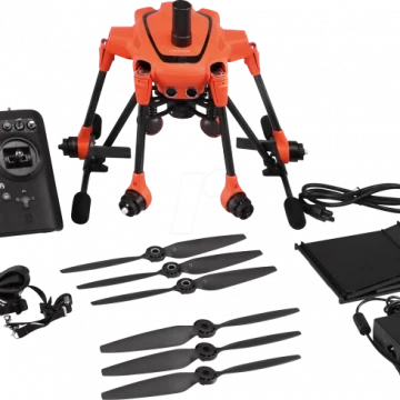
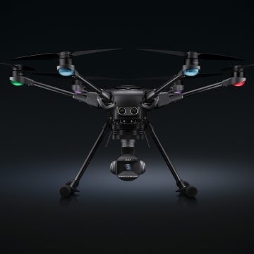
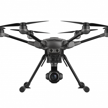
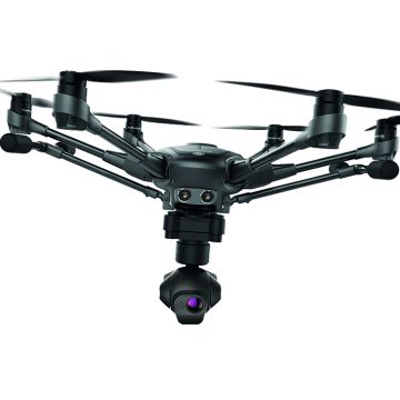
Yuneec H520E RTK
One of the fastest RTK systems in the world The commercial Hexacopter H520E receives one of the fastest and most reliable RTK systems in the world. Fully integrated into the H520E, it ensures the highest precision and the fastest possible operational readiness even under difficult GPS conditions like in cities, canyons or forests. Thanks to Real Time Kinematics satellite navigation the new H520E RTK will be able to stand in the air with centimeter accuracy, enabling extremely precise, repetitive photos, faster 3D mapping and more accurate, even automated, inspection flights.
3.902,00 € (Exc.VAT)
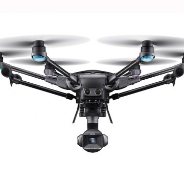
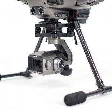
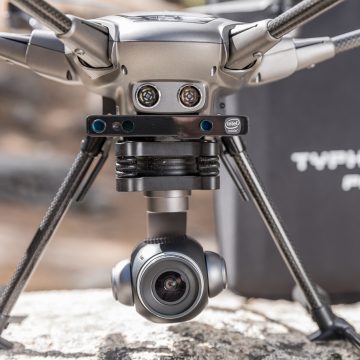
Yuneec Typhoon H3 w/ ION L1 Leica Camera
UNLIMITED PERSPECTIVES AND NEW, CREATIVE POSSIBILITIES With the Typhoon H3 and the ION L1 Pro camera developed in partnership with Leica, Yuneec and Leica Camera AG bring the best of their respective worlds together to bring Leica photography to the skies. The H3 has been specially developed for photographers and videographers who want to rediscover the world from above in a new look. Thanks to the use of high-quality materials and the implementation of a wide range of flight functions in combination with a 1” CMOS camera sensor, it offers you a sophisticated and perfectly coordinated overall system for you to realize your photographic ambitions. The safe and reliable hexacopter design featuring 6 rotors remains stable in the air – even when it’s windy outside. Furthermore, with the aid of the stabilized 3-axis gimbal, you can take perfectly stabilized and sharp 20 MP photos and up to 4K videos at
(Price on request)
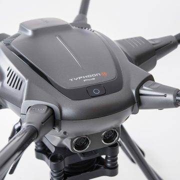
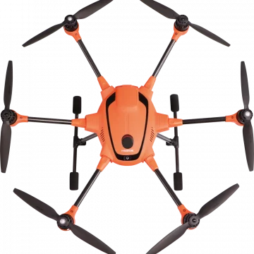
Yuneec Typhoon H Plus
THE POWER OF PRECISION Meet the next generation of Typhoon H - a hexacopter even more powerful than before and with an all new flight controller, based on PX4.
(Price on request)

Yuneec Typhoon H Plus with Intel® RealSense™ and Backpack
THE POWER OF PRECISION Meet the next generation of Typhoon H - a hexacopter even more powerful than before and with an all new flight controller, based on PX4.
(Price on request)
CGOET Thermal Imaging Camera (H520 only)
THERMALIMAGING AND LOW LIGHT CAMERA The CGOET is an innovative combination of 3-axis gimbal, thermal imaging camera and low-light camera. While the thermal imaging camera selectively measures the temperature in the image enabling it to display relative temperature differences, the low-light RGB camera has a 20 times higher sensitivity than the human eye and can still take excellent shots even in low light conditions. Both images are streamed live on your remote control at the same time, and can be viewed separately as a picture-in-picture or as an overlay. The CGOET gimbal is capable of continuous 360° yaw axis rotation. This unique feature, when combined with the H520 retractable landing gear, provides the operator with continuous 360 unobstructed camera view and the ability to continuously pan the camera without yawing the airframe.
(Price on request)

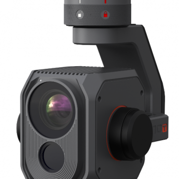
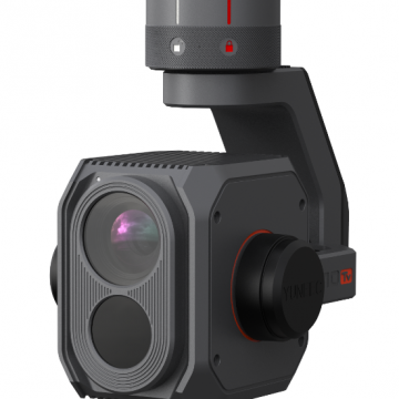
E10TX Camera 320p (FLIR) thermal and RGB
| 16° FOV/13.8mm | 24° FOV/9.1mm | 34° FOV/6.3mm | 50° FOV/4.3mm H520E HIGH-RESOLUTION FLIR THERMAL-IMAGING AND LOW LIGHT CAMERA The E10TX for the H520E Hexacopter is a stabilised 3-axis gimbal, thermal imaging and residual light camera all-in-one. With a 320*256-pixel thermal imaging resolution, the E10TX takes high-quality pictures and detects more details in the dark than the naked eye with the help of its large RGB sensor. Thanks to its dual video stream, you can stream the thermal and residual light image simultaneously to the remote control and then look at the image as an overlay or picture-in-picture. Furthermore, the E10TX supports commercial applications such as mission planning.
4.467,48 € (Exc.VAT)
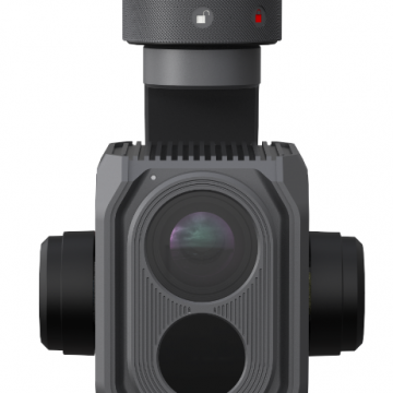
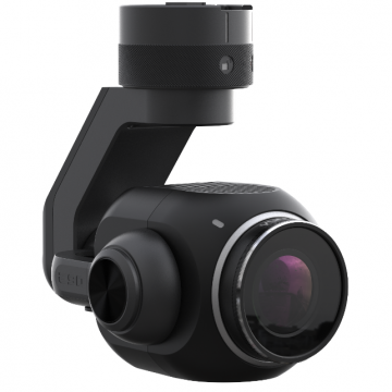
E10TvX Camera
HIGH-RESOLUTION FLIR THERMAL-IMAGING AND LOW LIGHT CAMERA The E10TvX for the H520E Hexacopter is a stabilised 3-axis gimbal, thermal imaging and residual light camera all-in-one. With a 640*512-pixel thermal imaging resolution, the E10TX takes high-quality pictures and detects more details in the dark than the naked eye with the help of its large RGB sensor. Thanks to its dual video stream, you can stream the thermal and residual light image simultaneously to the remote control and then look at the image as an overlay or picture-in-picture. Furthermore, the E10TvX supports commercial applications such as mission planning.
11.900,00 € (Exc.VAT)
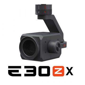
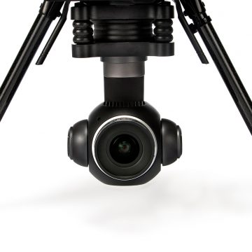
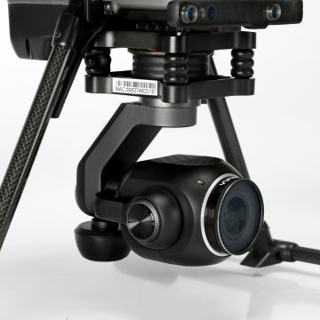
E30ZX Camera for H520E & H850
UNLIMITED DETAILS - 30X ZOOM The E30ZX for the Yuneec H520E & H850 Hexacopter is a powerful 30x zoom drone camera and makes it easy to zoom in on distant objects to gain valuable details. The compact camera housing contains a 1/2.8" CMOS sensor, which provides high-quality and stabilized recordings even in low light conditions. In addition to the 30x optical zoom, the camera offers a 6x digital zoom for flexible application options such as inspection, search and rescue operations, monitoring, people search, and much more.
2.900,81 € (Exc.VAT)
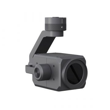
E90X Camera for H520E & H850-RTK
The E90x camera for the H520E/H520E-RTK & H850-RTK is a wide-angle, high resolution, gimbal stabilized imaging system perfectly suited for use in applications that require high quality photo and video. The E90x utilizes a 20 MP 1-inch sensor and the high speed image processing chip. The digital zoom feature allows the user to digitally zoom in and out with two finger gesture. Zoom factor is up to 8x, whereas the view on the ST16E is lossless up to 4x.
1.056,90 € (Exc.VAT)
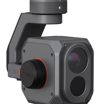
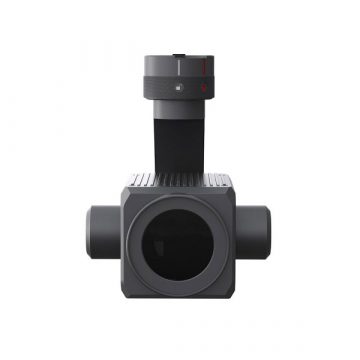
ETX (FLIR®) Camera for H520E/H850
The ETX (FLIR®) is an innovative combination of 3-axis gimbal, thermal imaging camera and low-light camera. While the thermal imaging camera selectively measures the temperature in the image enabling it to display relative temperature differences, the low-light RGB camera has a 20 times higher sensitivity than the human eye and can still take excellent shots even in low light conditions. Both images are streamed live on your remote control at the same time, and can be viewed separately as a picture-in-picture or as an overlay. The ETX gimbal is capable of continuous 330° yaw axis rotation. This unique feature, when combined with the H520E retractable landing gear, provides the operator with continuous unobstructed camera view and the ability to continuously pan the camera without yawing the airframe.
1.899,00 € (Exc.VAT)
Out of stock
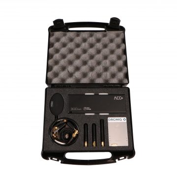
Droniq GNSS-LTE transponder HOD4track for H520
Droniq GNSS-LTE The Droniq GNSS-LTE transponder HOD4track for the H520 is a device for the transmission of own position data for UAS and other aircraft (e.g. helicopters). It contains an LTE modem and a SIM card. The device transmits its current GNSS position via mobile network to the UAS Traffic Management (UTM) system of DFS.
(Price on request)
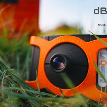
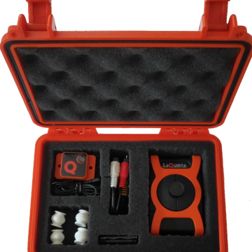
Laquinta db2 vision multispectral
LaQuinta dB2 Vision A revolutionary multispectral hybrid sensor camera for Precision Agriculture to identify crop stress before the human eye can detect it. LaQuinta is the most fully featured, yet lowest cost Multispectral AG-Tech camera in the world. Developing high-tech yet low-cost equipment to become financially accessible to every individual farmer or agronomist. Enablingthe farmer to maximize its crop output while using the minimum amount of resources!
2.380,00 € (Exc.VAT)

-
-
-
-
-
-
-
-
Sale!
 Vista Rápida

-
-
-
 Vista Rápida
 -
-
-
-
-
