
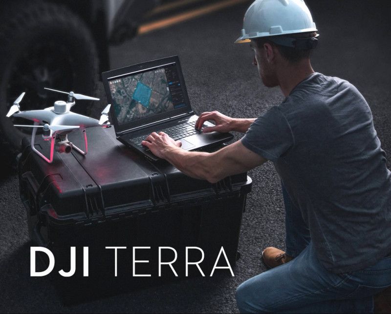
Principais características da Licença Permanente Padrão
- Propriedade Permanente: Ao contrário dos modelos de assinatura, esta é uma compra única que garante o uso vitalício do software em um único dispositivo, eliminando taxas recorrentes.
- Reconstrução 2D de alta precisão: Gere rapidamente mapas ortofotográficos digitais verdadeiros (TDOM) de alta resolução, modelos digitais de superfície (DSM) e outras saídas 2D a partir de imagens de luz visível.
- Reconstrução de malha 3D: Crie modelos 3D detalhados de edifícios, terrenos e infraestrutura a partir de fotos aéreas usando fotogrametria.
- Processamento de nuvem de pontos LiDAR: Suporta processamento e integração de dados de sensores DJI Zenmuse LiDAR (como L1 ou L2) para produzir nuvens de pontos precisas, mapas 2D e modelos 3D.
- Reconstrução multiespectral: Processe dados multiespectrais de drones DJI compatíveis (por exemplo, Mavic 3 Multispectral) para gerar mapas de índice de vegetação (NDVI, NDRE) para análise e pesquisa agrícola.
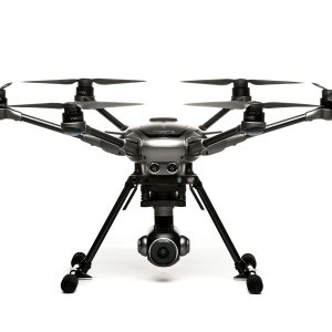
- Integração perfeita de hardware: Funciona de forma coesa com uma variedade de drones e cargas úteis DJI Enterprise, fornecendo uma solução eficiente e unificada, desde a aquisição de dados até a saída final.
- Saída de dados flexível: Exporte dados reconstruídos em formatos padrão da indústria (por exemplo, TIFF, LAS, PLY, OBJ, B3DM) para fácil compatibilidade com software GIS e CAD externo.
- Modos de autorização: Suporta ambos On-line e Off-line modos de autorização para uso flexível em vários ambientes de trabalho.
Casos de Uso
A versão Standard Permanent é uma ferramenta versátil para criar ativos digitais para:
- Topografia e Mapeamento: Geração de mapas de nível de levantamento e modelos digitais de terreno.
- Construção: Monitoramento do progresso do local e medições volumétricas.
- Inspeção de Infraestrutura: Criação de modelos para gestão detalhada de ativos.
- Agricultura: Analisando a saúde das culturas e criando mapas de prescrição.
Nota sobre as versões:
Embora a versão Standard seja uma solução robusta, recursos avançados como Espalhamento Gaussiano 3D para modelos fotorrealistas e Computação em Cluster para projetos massivos são normalmente exclusivos para o nível superior Carro-chefe da DJI Terra versão. A licença Standard fornece todas as funcionalidades básicas necessárias para fotogrametria profissional e processamento de dados LiDAR.


Avaliações
Ainda não existem avaliações.