
Core Functionality
- 2D and 3D Reconstruction: DJI Terra uses advanced photogrammetry to rapidly generate high-resolution 2D orthomosaic maps, digital surface models (DSM), and realistic 3D mesh models from visible light imagery. This allows for detailed and accurate measurement and analysis.
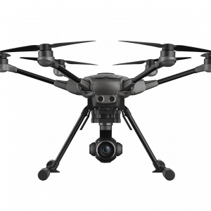
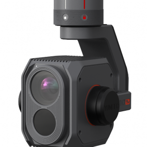
- LiDAR Point Cloud Reconstruction: The software integrates with DJI’s Zenmuse LiDAR systems (like the L1 and L2) to process point cloud data. It can fuse LiDAR data with visible-light photos to create highly accurate 3D models and point clouds, ideal for industries like infrastructure, energy, and transportation.
- Multispectral Reconstruction: For agricultural and environmental applications, DJI Terra can process multispectral data from drones like the Mavic 3 Multispectral and Phantom 4 Multispectral. It generates vegetation index maps, such as NDVI and NDRE, for insights into plant health and growth, and supports radiometric correction for remote sensing research.
- Mission Planning: The software provides a variety of mission planning tools, including Area, Oblique, and Corridor missions. It allows users to set flight paths, waypoints, and camera parameters to automate data collection and ensure consistency and accuracy.
- Data Analysis: DJI Terra includes easy-to-use analysis tools for 2D and 3D measurements (linear, area, and volumetric). You can also annotate models and conduct photo inspections to identify and highlight critical elements.
Key Features of the Standard 1-Year License
- 1-Year Validity: The license provides access to all Standard version features for a period of one year from the date of activation.
- Single Device Binding: The license is bound to one computer, but in some cases, you may be able to submit a request to unbind it once per calendar year if you need to switch hardware.
- Online/Offline Authorization: The Standard license is available in both online and offline authorization modes, making it suitable for both connected environments and remote or secure locations where continuous internet access is not available.
- Integration with DJI Ecosystem: DJI Terra works seamlessly with a range of DJI Enterprise drones and payloads, creating a unified hardware and software solution for streamlined aerial surveying and inspection workflows. It can also be paired with DJI Modify, a 3D model editing software, for a complete end-to-end solution.
- Gaussian Splatting (Check Version-Specific Features): While some versions of DJI Terra, particularly the Flagship, are known for their 3D Gaussian Splatting technology, which quickly generates highly detailed and photorealistic 3D models, the availability of this specific feature on the Standard version may vary and should be confirmed with the retailer.
Ideal Use Cases
- Land surveying and mapping
- Construction project monitoring and documentation
- Inspeção de infraestruturas
- Investigação ambiental
- Agricultura de precisão
- Creating digital twins for urban planning and cultural preservation


Avaliações
Ainda não existem avaliações.