
Principais recursos e capacidades
- Offline Functionality: Unlike online versions that require a continuous internet connection, this “Offline” permanent license is specifically designed for users working in remote areas, secure facilities, or locations with limited or no network access. Once activated, all key features are available on the bound computer.
- Permanent License: This is a “perpetual” license, meaning it provides unlimited access to the software without a subscription renewal. This ensures business continuity and a single, long-term investment.
- Advanced 3D Modeling with Gaussian Splatting: A flagship-exclusive feature, Gaussian Splatting allows for the rapid generation of highly detailed and photorealistic 3D models. It excels at reconstructing complex scenes with fine structures, transparent or reflective surfaces, and dense vegetation, producing more natural and visually stunning results.
- Comprehensive Data Processing:
- Fotogrametria: Rapidly generates high-precision 3D models, point clouds, digital orthophoto maps (TDOM), and digital surface models (DSM) from visible light imagery.
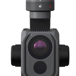
- LiDAR Reconstruction: Seamlessly integrates data from DJI’s Zenmuse LiDAR payloads (like the L2) to produce high-precision point clouds, 2D maps, and 3D mesh models simultaneously, enhancing detail and completeness in complex environments.
- Multispectral Reconstruction: Processes data from multispectral drones (like the Mavic 3 Multispectral) to generate vegetation index maps (NDVI, NDRE), reflectance maps, and more, for applications in precision agriculture.
- Professional Application-Specific Modules:
- Electricity Module: A Flagship-exclusive feature with specialized functions tailored for the power energy sector, allowing for detailed inspection and analysis of power grids and infrastructure.
- Multi-device Management: Supports distributed processing across up to 10 devices, a feature crucial for handling massive datasets and accelerating reconstruction times for large-scale projects like smart city planning.
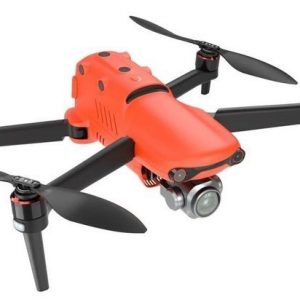
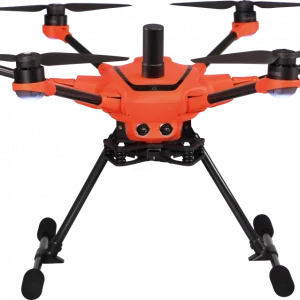
- Seamless Hardware Integration: The software is designed to work as a unified solution with DJI Enterprise drones and payloads, including the Matrice 4E, Matrice 400, Zenmuse P1, Zenmuse L2, and D-RTK 3, streamlining the entire aerial surveying workflow from data capture to final deliverables.
Ideal for
- Levantamento e mapeamento: Professionals requiring high-precision 2D and 3D mapping for land surveys, civil engineering, and urban planning.
- Inspeção de Infraestrutura: Detailed analysis of bridges, power lines, substations, and other critical infrastructure in environments where network access is limited.
- Public Safety and Emergency Response: Quickly creating maps and models of disaster-stricken areas for rapid assessment and coordination, even without an internet connection.
- Oil, Gas, and Utilities: Comprehensive inspection and asset management in remote industrial locations.
- Filmmaking, Gaming, and Virtual Environments: Generating realistic digital twins for use in various creative industries.


Avaliações
Ainda não existem avaliações.