Características principais:
- 2D and 3D Reconstruction: Rapidly generates high-resolution 2D orthomosaics and detailed 3D mesh models from visible light imagery. This allows you to create digital representations of scenes for various applications, including site monitoring, project planning, and asset management.
- LiDAR Processing: Supports the processing of point cloud data collected by DJI LiDAR sensors, such as the Zenmuse L1 or L2. The software can fuse LiDAR and visible light data to create high-precision point clouds, 2D maps, and 3D mesh models.
- Multispectral Reconstruction: Processes multispectral data from drones like the DJI Mavic 3 Multispectral to generate vegetation index maps (such as NDVI and NDRE). This is crucial for agricultural applications, providing actionable insights into crop health and growth.
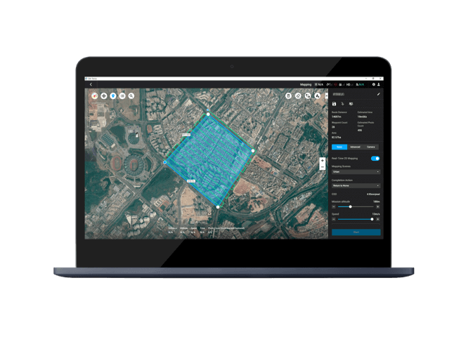
- Fluxo de trabalho eficiente: DJI Terra is designed to streamline the entire aerial surveying process. From mission planning to data processing, it offers a user-friendly interface that simplifies complex tasks. The software is optimized for fast reconstruction, allowing you to complete projects quickly.
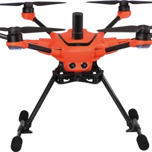
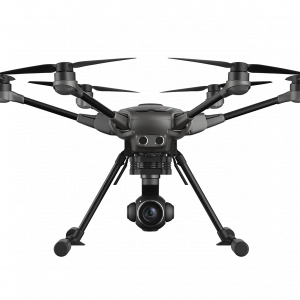
- Hardware Synergy: Seamlessly integrates with DJI’s enterprise drones and payloads, creating a unified hardware and software solution for data acquisition, processing, and application. This provides a cost-effective solution for various mapping and inspection needs.
- Flexible Data Output: The software can export reconstructed data in a variety of industry-standard formats (e.g., TIFF, LAS, PLY, B3DM), ensuring compatibility with third-party software like GIS and CAD applications.
- Permanent License: Unlike subscription-based models, the Standard Permanent version offers a lifetime license for a single device, eliminating recurring fees and providing long-term value for your investment.
Observação: The Standard Permanent license includes key features but may not have all the advanced capabilities found in higher-tier versions like DJI Terra Flagship, which may include features like Gaussian Splatting, electricity-specific reconstruction modules, and cluster computation for large-scale projects.



Avaliações
Ainda não existem avaliações.