

Os principais recursos e especificações do GS-120G incluem:
- Nuvem de pontos coloridos em tempo real: Ele gera dados de nuvem de pontos coloridos em tempo real, que podem ser visualizados por meio de um aplicativo dedicado para controle detalhado.
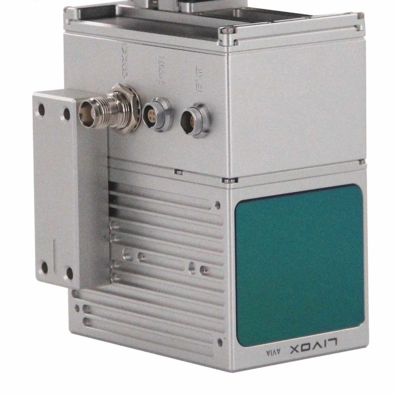
- LiDAR de alto desempenho: Equipado com um LiDAR rotativo de 32 canais e uma cabeça rotativa de 360°, oferece um amplo campo de visão (FOV) de e um alcance de medição de até 120 metros. Ele pode coletar dados a uma taxa de 1.280.000 pontos por segundo com eco duplo.
- Algoritmos SLAM avançados: O GS-120G integra algoritmos SLAM (Localização e Mapeamento Simultâneos) eficientes e desenvolvidos por nós mesmos, suportando os modos RTK-SLAM e SLAM puro. Isso permite posicionamento e captura de dados perfeitos, mesmo em ambientes com sinais GNSS (Sistema Global de Navegação por Satélite) limitados ou inexistentes, como interiores de fábricas, áreas subterrâneas e corredores blindados.
- Alta precisão: Ele ostenta uma precisão absoluta de cm e uma precisão relativa de cm.
- Sensores integrados: O sistema inclui uma câmera de alta definição (resolução de 2×20 MP) para geração de nuvem de pontos colorida e um módulo RTK para maior precisão de posicionamento (0,02 m horizontal, 0,03 m vertical). Ele suporta vários sistemas GNSS, incluindo GPS L1/L2/L5, GLONASS L1/L2, BDS B1c/B1/B2/B2a/B2b/B3 e GALILEO E1/E5b/E5a.
- Fluxo de trabalho eficiente: Projetado para processamento de dados com um clique, ele simplifica o fluxo de trabalho ao eliminar a necessidade de configuração ou posicionamento repetidos; os usuários podem simplesmente caminhar e digitalizar.
- Projeto Robusto: Ele opera em temperaturas que variam de para , consome 25 W de energia e tem duração de bateria de 2 horas com bateria interna de 11600 mAh. Os dados são armazenados em um cartão SD de 128 GB.
O Geosun GS-120G é adequado para uma ampla gama de aplicações, incluindo levantamento topográfico e mapeamento, levantamento de edifícios, levantamento de minas, levantamentos florestais, inspeção de linhas de energia, análise de espaços subterrâneos, modelagem digital e criação de gêmeos digitais para plantas industriais.


Avaliações
Ainda não existem avaliações.