Principales caractéristiques et performances
- Long-Range LiDAR Performance:
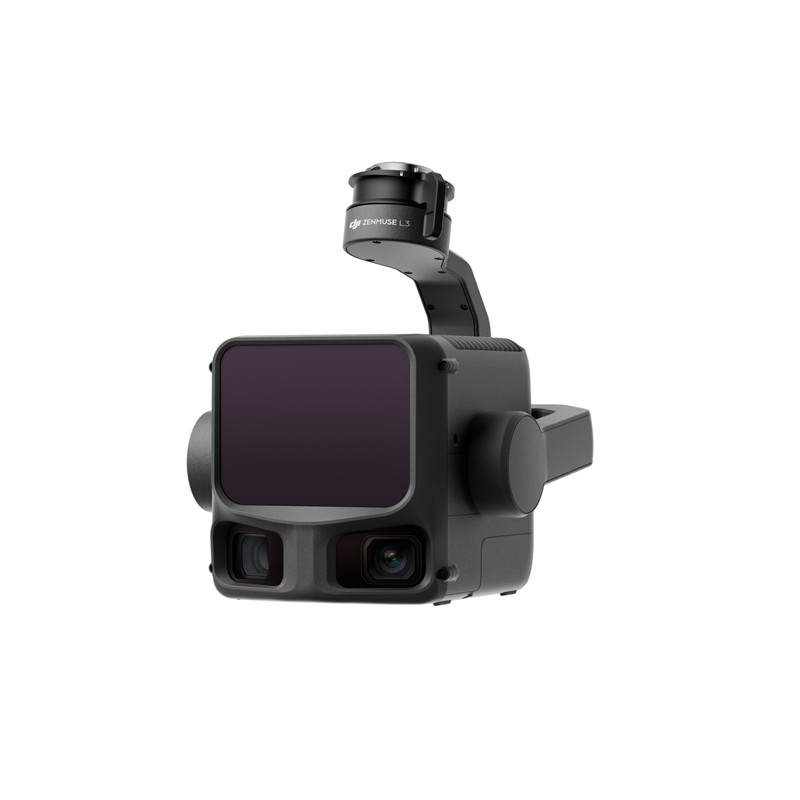
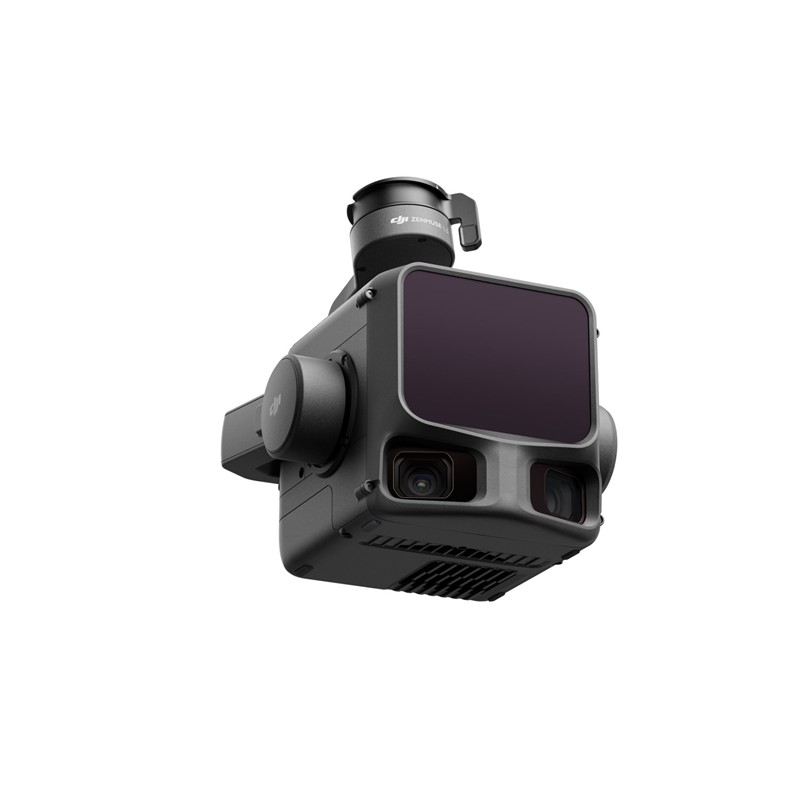
- Comprend un 1535 nm Class 1 LiDAR sensor.
- Exceptional Maximum Detection Range of up to 950 meters (on objects with 10% reflectivity), enabling high-altitude flights for greater coverage while maintaining accuracy.
- Superior Penetration: Offres jusqu'à 16 returns for capturing more detailed ground points beneath dense vegetation, crucial for forestry and terrain mapping.
- Ultra-Fine Precision: An incredibly small laser beam divergence (0.25 mrad, approximately 80% smaller spot size than the L2) allows for the accurate detection of fine objects like power lines and branches.
- Dual 100MP RGB Mapping Camera System:
- Integrates dual Micro 4/3 CMOS sensors to capture stunning 100MP orthophotos (or 25MP in fast mode).
- Provides an Ultra-wide Field of View (FOV) up to 107° for expansive coverage.
- Enables the generation of true-color point clouds and high-resolution digital orthophoto maps (DOM).
- High-Accuracy & Efficiency:
- Achieves précision au centimètre près (e.g., 3 cm vertical / 5 cm horizontal) when paired with compatible RTK-supported platforms.
- The upgraded High-Precision IMU system allows for instant startup with no preheating required.
- Massive efficiency, capable of covering up to 100 km² per day.
- Flux de travail transparent :
- Part of a unified DJI ecosystem, from intelligent flight planning in DJI Pilot 2 to powerful data processing in DJI Terra and advanced editing in DJI Modifier.
- Supports simultaneous LiDAR and RGB data capture from a single flight.
Optimized for Professional Applications
The Zenmuse L3 is the definitive tool for professionals in:
- Topographic Surveying and Geomatics: Achieving 1:1000 scale surveys with unmatched efficiency.
- Inspection des infrastructures : Precisely modeling and inspecting assets like power lines and bridges.
- Forestry and Environmental Monitoring: Accurate modeling of canopy layers and ground terrain beneath dense cover.
- Mining and Quarrying: Efficiently calculating volumes and monitoring site changes.
The Zenmuse L3 ensures professionals can capture faster, deeper, and more accurate geospatial data, streamlining workflows and reducing operational costs.
Compatibilité
DJI Matrice 400 (requires Zenmuse L3 single gimbal connector)
Contents
1x DJI Zenmuse L3
1x Zenmuse L3 Single Gimbal Connector
1x Storage Case
4x amortisseurs de cardan
2x CFexpress Type B Memory Cards
1x CFexpress Type B Card Reader








Avis
Il n’y a pas encore d’avis.