

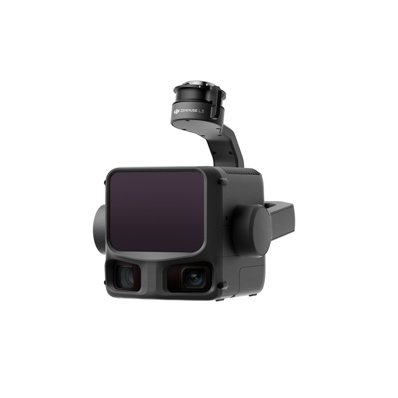
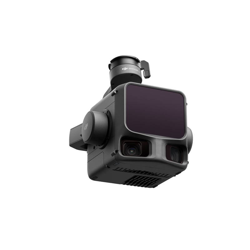
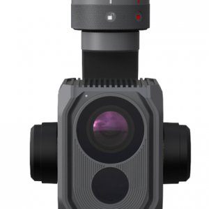
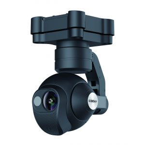
Principais recursos e desempenho
- Desempenho do LiDAR de longo alcance:
- Apresenta um 1535 nm Classe 1 Sensor LiDAR.
- Excepcional Alcance máximo de detecção de até 950 metros (em objetos com refletividade 10%), possibilitando voos em alta altitude para maior cobertura, mantendo a precisão.
- Penetração superior: Oferece até 16 retornos para capturar pontos de referência mais detalhados no solo sob vegetação densa, crucial para mapeamento florestal e topográfico.
- Precisão ultrafina: Uma divergência incrivelmente pequena do feixe de laser (0,25 mrad, aproximadamente 80% menor que o tamanho do ponto do L2) permite a detecção precisa de objetos finos, como linhas de energia e galhos.
- Sistema de câmera dupla com mapeamento RGB de 100MP:
- Integrações sensores CMOS Micro 4/3 duplos Para capturar ortofotos impressionantes de 100 MP (ou 25 MP no modo rápido).
- Fornece um Campo de visão ultra-amplo (FOV) de até 107° para ampla cobertura.
- Permite a geração de nuvens de pontos em cores reais e mapas ortofotográficos digitais de alta resolução (DOM).
- Alta precisão e eficiência:
- Conquista precisão em nível de centímetro (por exemplo, 3 cm na vertical / 5 cm na horizontal) quando emparelhado com plataformas compatíveis com suporte a RTK.
- A versão atualizada IMU de alta precisão O sistema permite inicialização instantânea Sem necessidade de pré-aquecimento.
- Alta eficiência, capaz de cobrir até 100 km² por dia.
- Fluxo de trabalho contínuo:
- Parte de um ecossistema unificado da DJI, desde o planejamento de voo inteligente em DJI Piloto 2 para processamento de dados poderoso em DJI Terra e edição avançada em Modificar DJI.
- Suporta a captura simultânea de dados LiDAR e RGB em um único voo.
Otimizado para aplicações profissionais
O Zenmuse L3 é a ferramenta definitiva para profissionais em:
- Levantamento Topográfico e Geomatica: Realização de levantamentos em escala 1:1000 com eficiência inigualável.
- Inspeção de Infraestrutura: Modelagem e inspeção precisas de ativos como linhas de energia e pontes.
- Monitoramento Florestal e Ambiental: Modelagem precisa das camadas da copa das árvores e do terreno sob cobertura densa.
- Mineração e extração de pedras: Cálculo eficiente de volumes e monitoramento de alterações no local.
O Zenmuse L3 garante que os profissionais possam capturar dados geoespaciais de forma mais rápida, completa e precisa, otimizando os fluxos de trabalho e reduzindo os custos operacionais.
Compatibilidade
DJI Matrice 400 (requer conector de gimbal único Zenmuse L3)
Conteúdo
1x DJI Zenmuse L3
1x Conector único para gimbal Zenmuse L3
1x Estojo de Armazenamento
4x Amortecedores de Gimbal
2 cartões de memória CFexpress tipo B
1x Leitor de Cartão CFexpress Tipo B


Avaliações
Ainda não existem avaliações.