
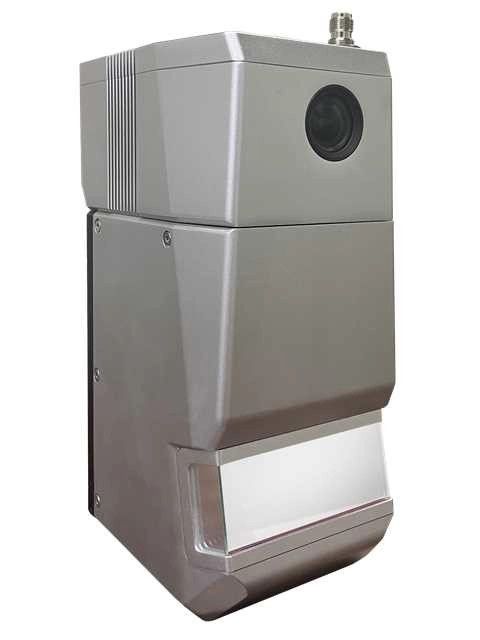
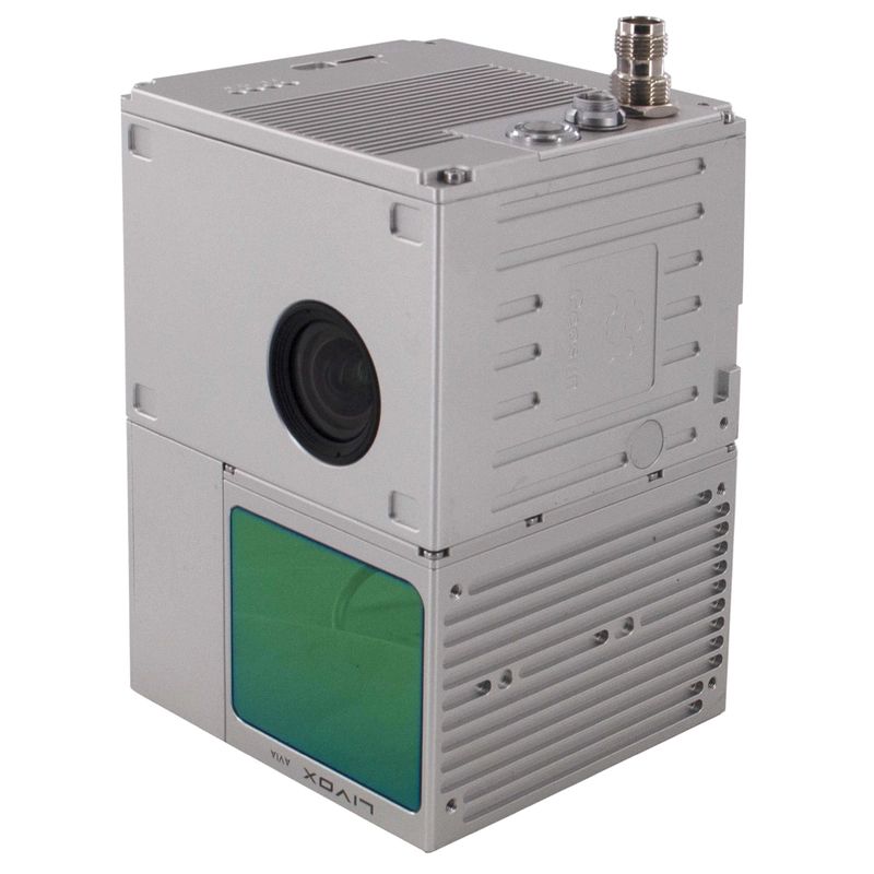
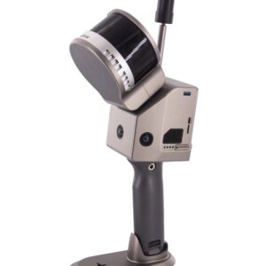
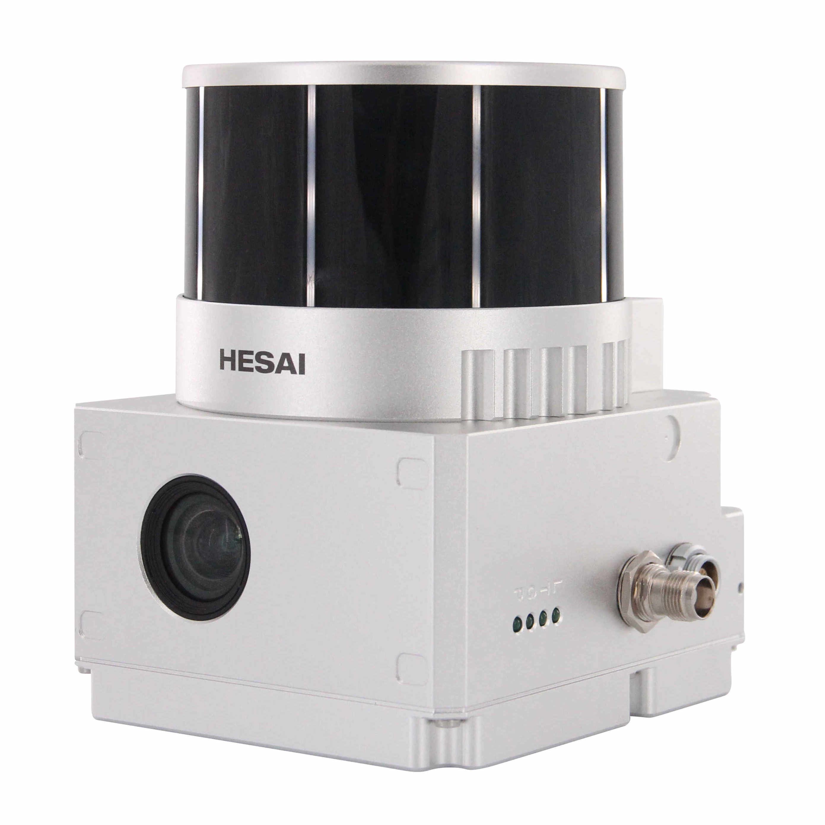
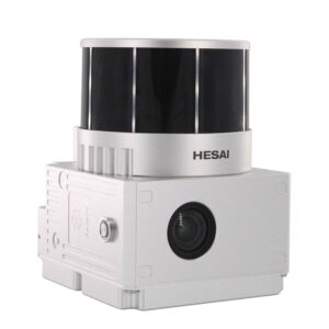
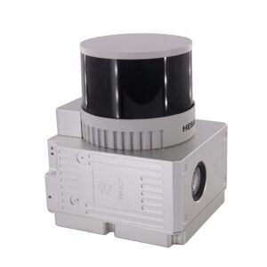
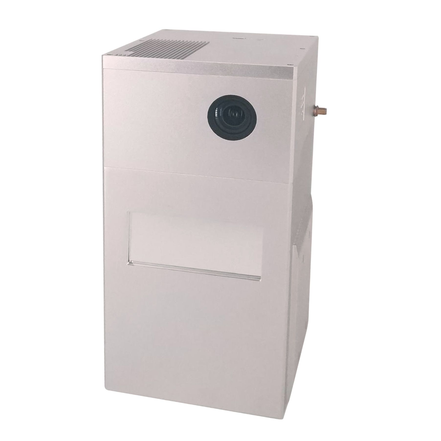
Sistema de digitalização LiDAR Geosun gAirHawk série GS-1500N
gAirHawk GS-1500N é um tipo de sistema de aquisição de dados de nuvem de pontos LiDAR compacto e de longo alcance, scanner a laser de longo alcance FT-800 integrado, sistema de determinação de atitude e posicionamento GNSS e IMU e unidade de controle de armazenamento, é capaz de em tempo real, dinamicamente , colete massivamente dados de nuvens de pontos de alta precisão e informações ricas de imagens. É amplamente utilizado na aquisição de informações espaciais 3D em topografia, eletricidade, silvicultura, agricultura, planejamento territorial.
Especificações
| Sistema de digitalização LiDAR gAirHawk GS-1500N | ||
| Nome do item | Parâmetros do sistema | |
| Parâmetros GS-1500N | Peso | 2,2kg |
| Temperatura de trabalho | -20℃~+60℃ | |
| Faixa de potência | 12V-24V | |
| Consumo | 65W | |
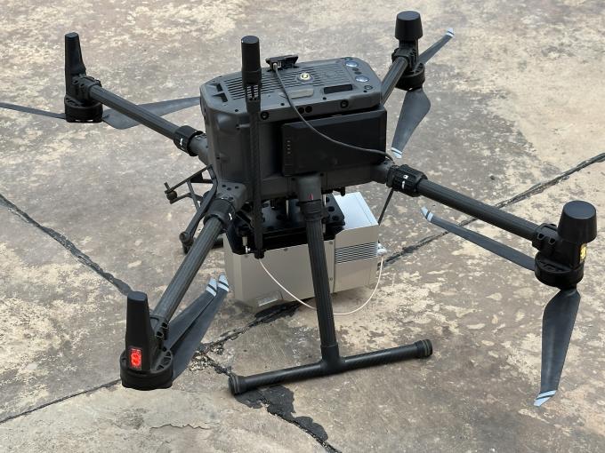
| Plataforma de transporte | 6 Drone Multi Rotor Aixs, VTOL | |
| Armazenamento | Armazenamento de 64 GB, suporte máximo para cartão TF de 128 GB | |
| Unidade Laser
|
Faixa de medição | 1500m@80% |
| Classe do laser | 1535 nm Classe 1 (IEC 60825-1:2014) | |
| Números da linha do laser | FT-800 feixe único | |
| Precisão de medição | 5mm@100m | |
| Máx. faixa | 1500m | |
| Retornar | 5 ecos | |
| Frequência de varredura | 50 Hz-2000 Hz | |
| Divergência de feixe | 0,3mrad | |
| FOV | 100°, ajustável | |
| Unidade POS | Frequência de actualização | 200Hz |
| Precisão do rumo | 0,010° | |
| Precisão de afinação | 0,003° | |
| Precisão de rolling | 0,003° | |
| Precisão da posição | Horizontal: 0,01m, Vertical: 0,02m | |
| Tipo de sinal GNSS | GPSL1/L2/L5 GLONASSL1/L2 BDS B1/B2/B3 GAL E1/E5a/5b | |
| IMU | gSpin 410 | |
| Software de pré-processamento | Software PDV | Informações de saída: posição, velocidade, atitude |
| Software de nuvem de pontos | Formato de dados de nuvem de pontos de saída: formato LAS, formato TXT personalizado | |
| Câmera (embutida) | FOV | 48*33 graus |
| Pixel efetivo | 45 MP (câmera full frame) | |
| Distância focal (mm) | 16 | |
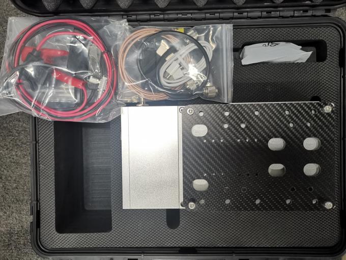
Pacote do sistema de digitalização LiDAR gAirHawk GS-1500N
Sistema de digitalização LiDAR gAirHawk GS-1500N é embalado em uma mala com forro de material EVA dentro e depois coberto por uma caixa de papelão rígida.
O pacote do sistema de digitalização UAV LiDAR é adequado para remessa aérea e marítima.


Avaliações
Ainda não existem avaliações.