

Características principais
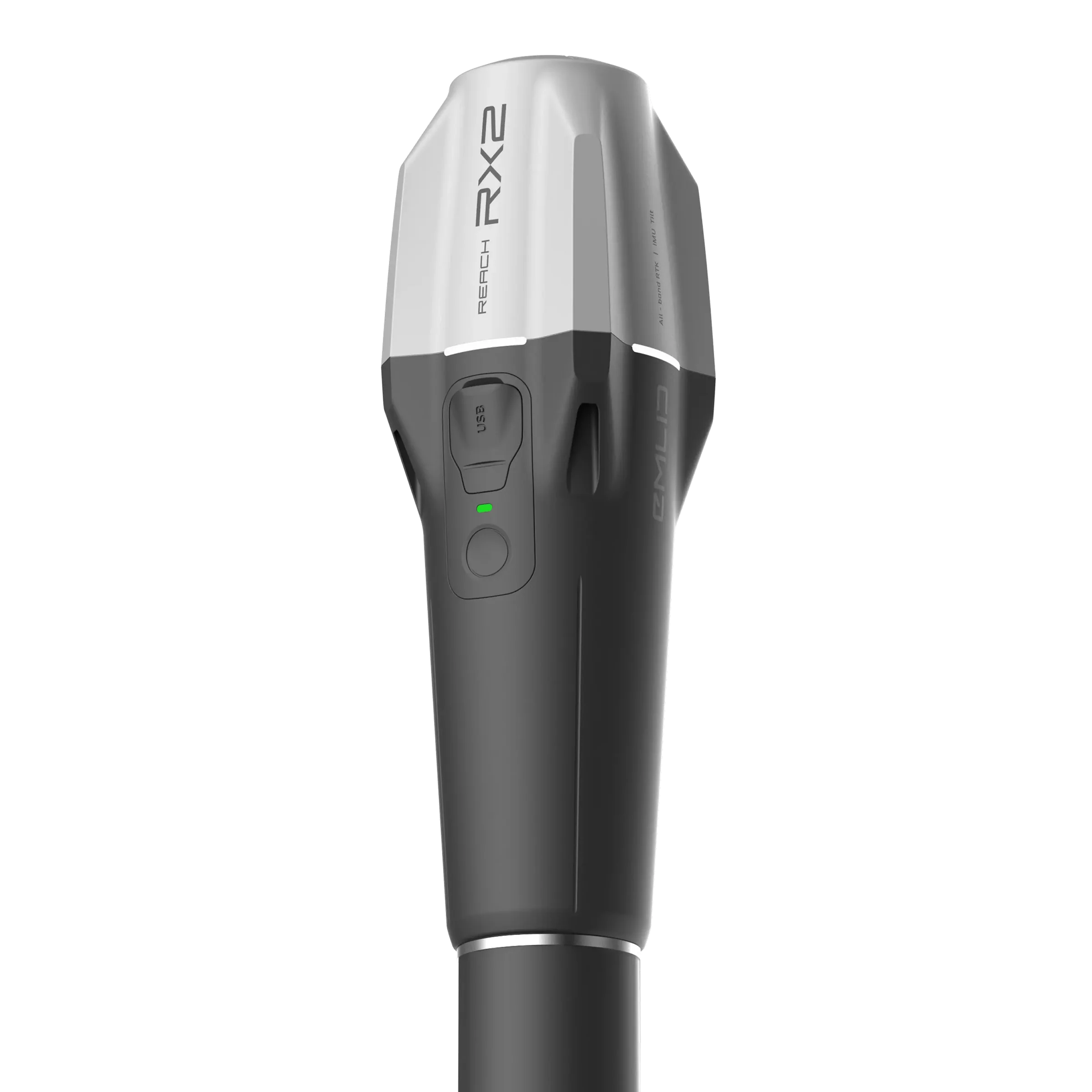
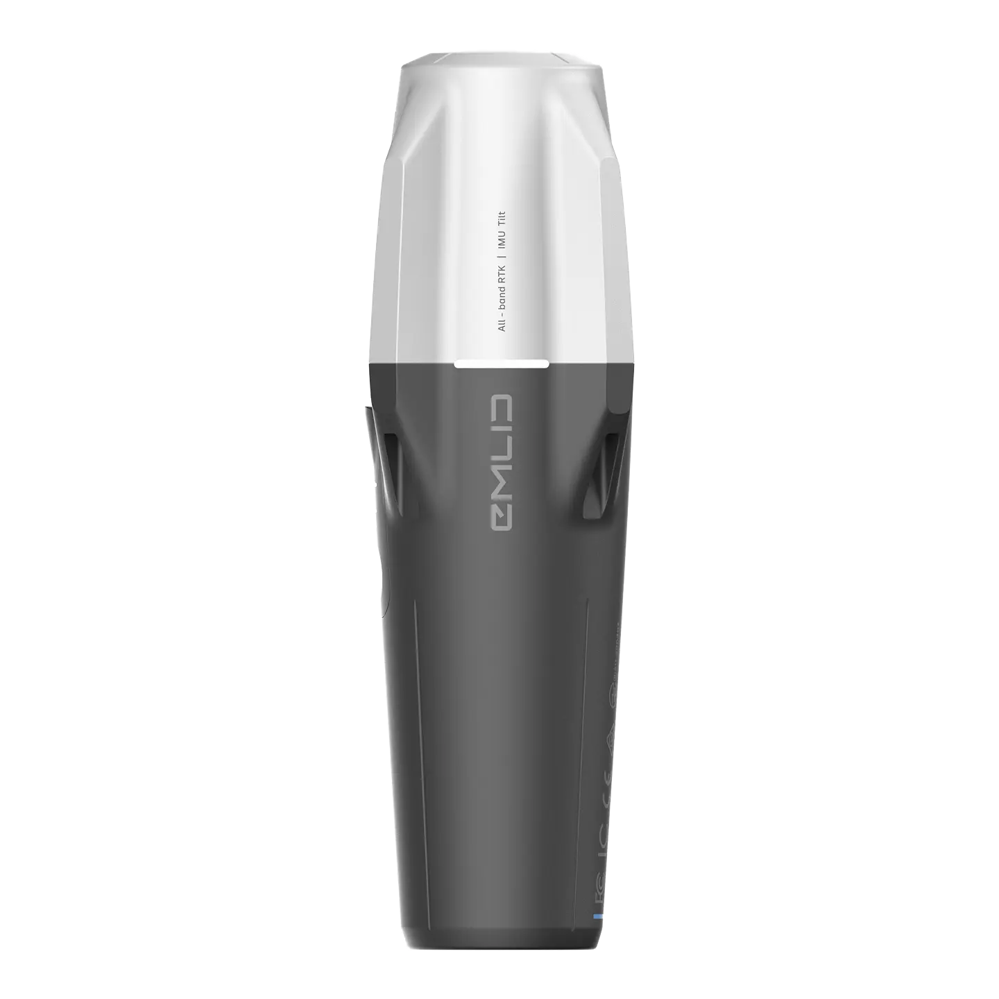
- Compensação de inclinação da IMU: Meça pontos com precisão sem precisar nivelar o poste. Capture fotos rapidamente perto de paredes, declives ou em espaços apertados, mantendo a precisão RTK.
- Imunidade à interferência magnética: A IMU não depende de um magnetômetro, garantindo medições estáveis e confiáveis em torno de estruturas de aço e veículos.
- Sem calibração do usuário: Calibrado de fábrica, o RX2 está pronto para levantamento após uma inicialização rápida e simples no local.
- Motor GNSS para todas as bandas: Com 672 canais, o RX2 rastreia todas as principais constelações de satélites (GPS, GLONASS, Galileo, BeiDou, QZSS e NavIC), fornecendo uma correção rápida, estável e confiável mesmo em ambientes desafiadores, como sob cobertura vegetal ou em áreas urbanas.
- Simplicidade pura do NTRIP: Projetado para ser o melhor rover de rede, ele se conecta a qualquer serviço de correção CORS ou NTRIP por meio da conexão de internet do seu smartphone usando o formato RTCM3. Sem configuração de estação base, sem modems de rádio, basta conectar e coletar.
- Tamanho de bolso e leve: Pesando apenas 280 g (0,62 lb), seu perfil compacto e fino cabe facilmente em um bolso ou porta-luvas, tornando-o a ferramenta mais ágil para coleta de dados.
- Robusto e confiável: Construído para uso no mundo real com um Proteção de entrada IP68 classificação, tornando-o à prova de poeira e resistente à água (submersível até para ).
- Bateria com duração para o dia todo: Levante-se para 16 horas de operação com uma única carga de sua bateria de alta capacidade, que recarrega rapidamente via USB-C.
- Integração perfeita de aplicativos: Funciona perfeitamente com o Emlid Flow aplicativo móvel para fácil configuração, coleta de dados e sincronização na nuvem. Ele também se integra perfeitamente com aplicativos GIS populares como Mapas de campo do ArcGIS, Survey123, QField, e suporta varredura terrestre de alta precisão com aplicativos como PIX4Dcatch.
Especificações técnicas
-
Mecânica
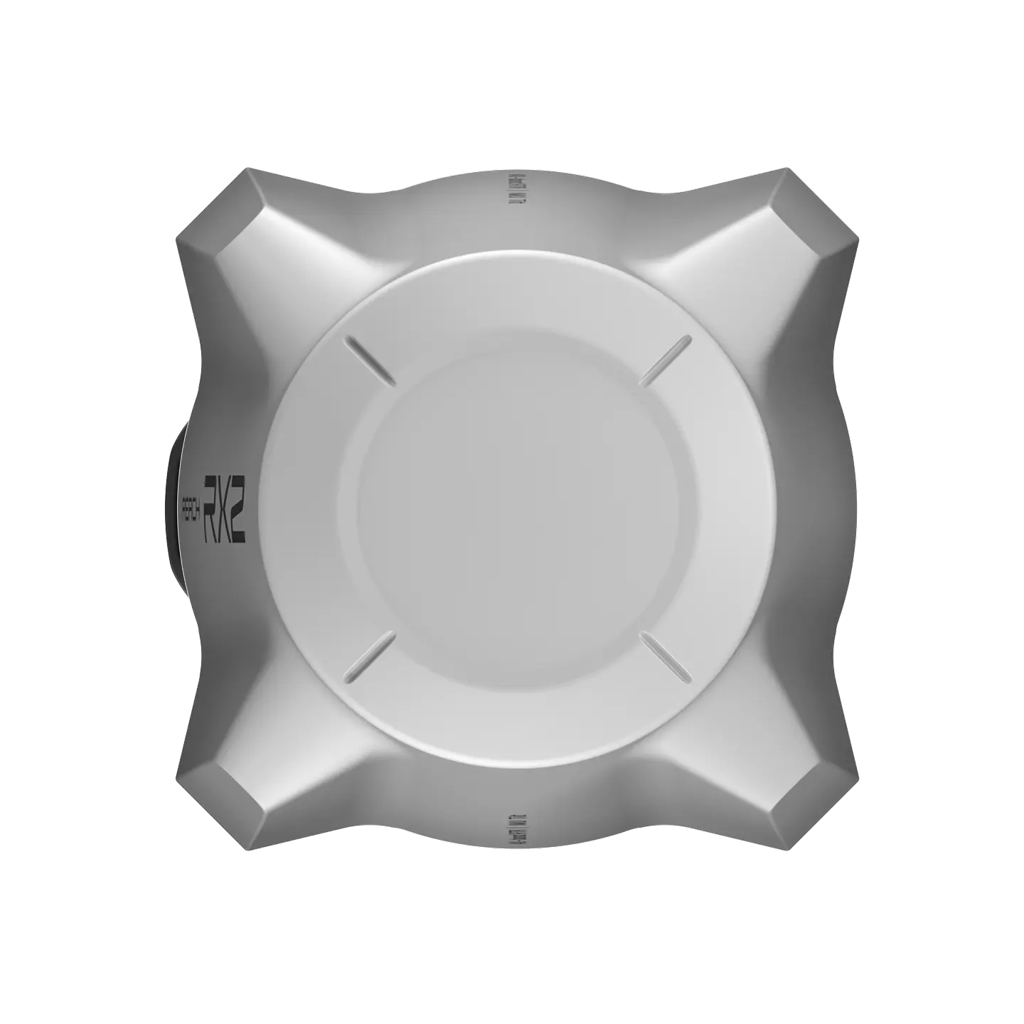
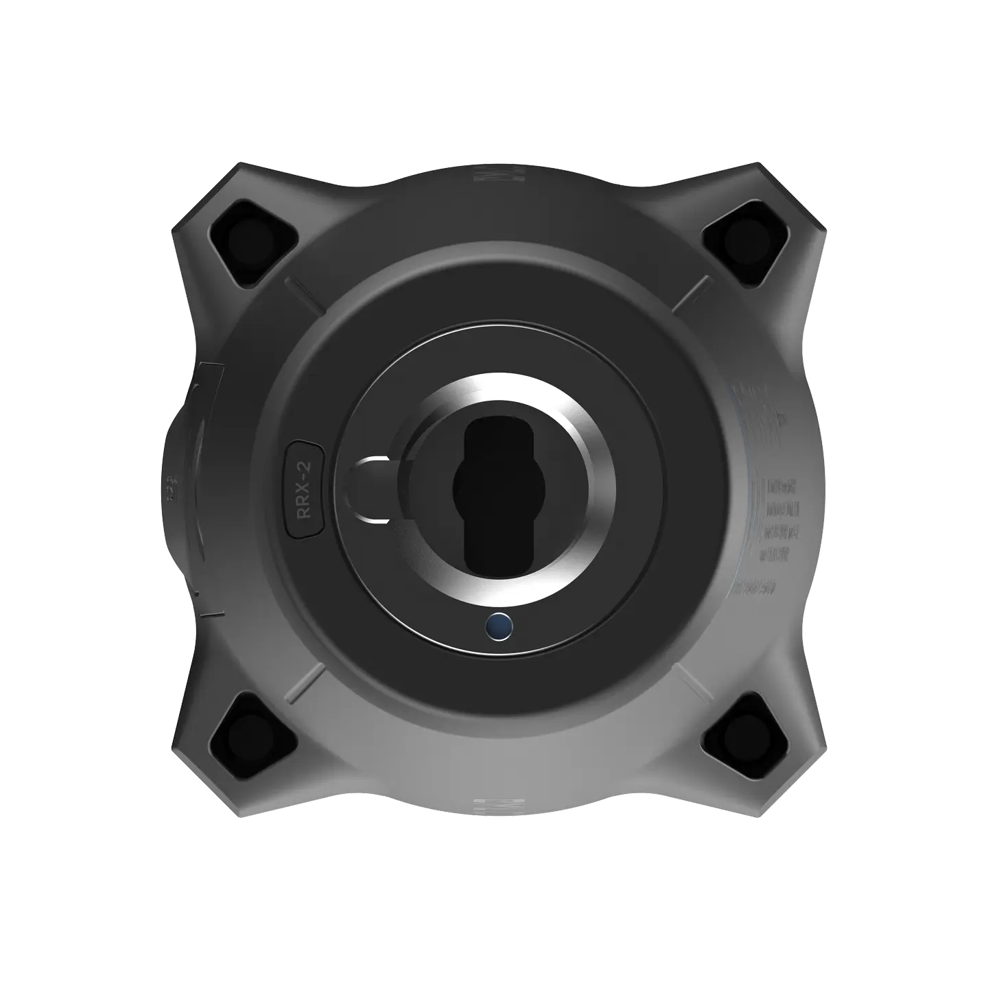
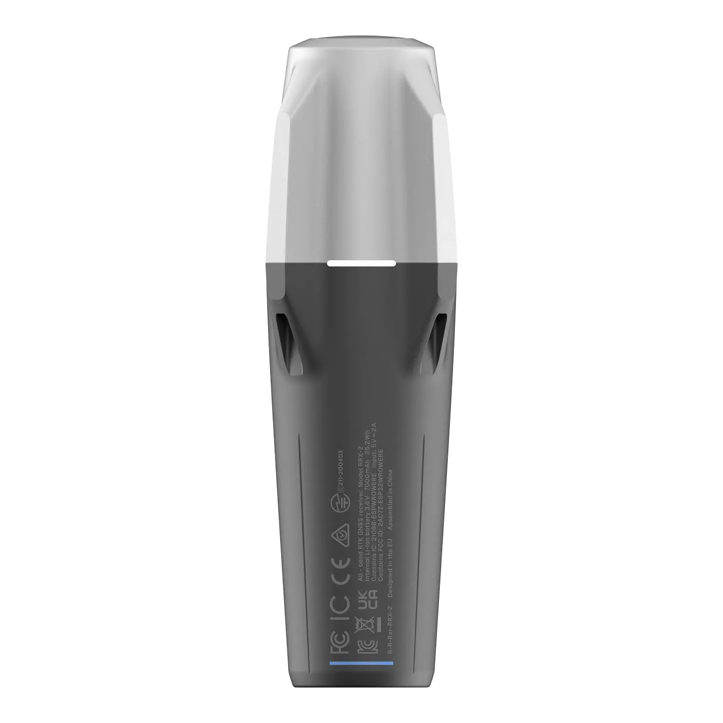
Dimensões: 172 x 51 x 51 mm (6,77 x 2,00 x 2,00 pol.)
Montagem: 5/8”-11 UNC e liberação rápida
Peso: 280 g (0,62 lb)
Tº de operação: -20 a +65 °C (-4 a 149 °F)
Proteção de entrada: IP68 (profundidade máxima de 1,5 metros por até 30 minutos)
-
Electrónica
Autonomia: Até 16 horas
Bateria: Íon de lítio 7000 mAh, 3,6 V, 25,2 Wh
Carregando: USB Tipo C 5 V 2 A
Certificação: FCC, CE, IC, MFi
-
Posicionamento
RTK: A: 7 mm + 1 ppm | V: 14 mm + 1 ppm
Inclinação: RTK + 2 mm + 0,3 mm/°
Tempo de convergência: ~5 s normalmente
-
Conectividade
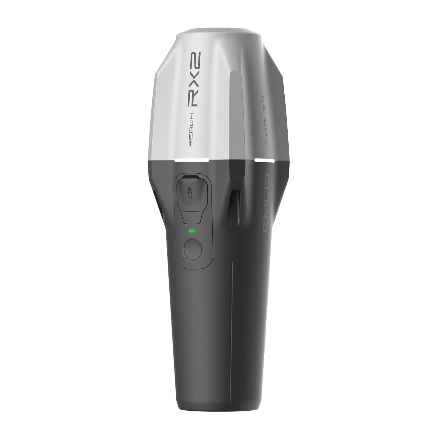
Interface de comunicação: Bluetooth 4.2 (BR/EDR + LE)
Portas: Porta USB tipo C
-
Dados
Formato dos dados de entrada: RTCM3
Protocolo de dados de entrada: NTRIP
Formato de dados de posição: NMEA
-
GNSS
Sinal rastreado: GPS: L1C/A, L2C, L5
GLONASS: L1OF, L2OF
Galileu: E1-B/C, E5a, E6
BeiDou: B1I, B1C, B2a, B3I
QZSS: L1C/A, L1C/B11, L2C, L5
NavIC: Dados L1-SPS, L5-SPSNúmero de canais: 672
Taxas de atualização: 5 Hz
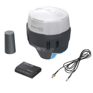
Na caixa
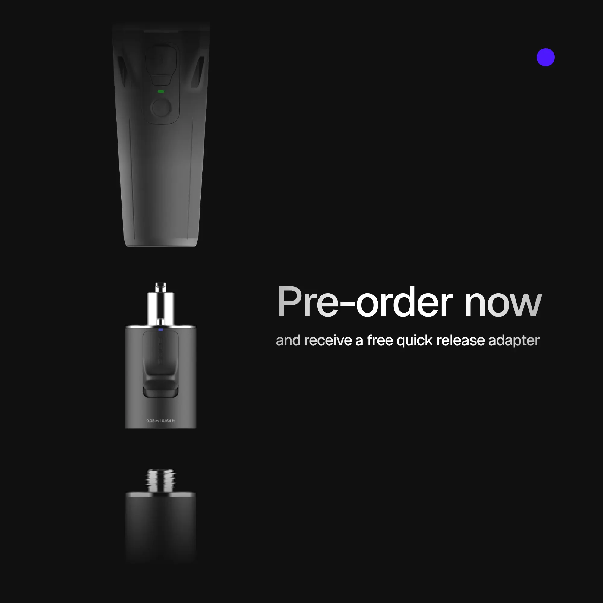
- Alcance RX2
- Cabo USB tipo C


Avaliações
Ainda não existem avaliações.