


Características principais
-
Triple Echo Technology: Capable of capturing up to 720,000 points per second. The triple-return capability allows the laser to penetrate dense vegetation to map the true ground surface (DEM) beneath forest canopies.
-
High-Precision Accuracy: Equipped with a professional-grade GNSS and high-precision IMU, the system delivers centimeter-level point cloud accuracy.
-
Operational Efficiency: The sensor can detect objects up to 450 meters (at 80% reflectivity) and is capable of covering up to 2 square kilometers in a single flight.
-
Imagens Integradas: Features a built-in mapping camera that captures detail-rich RGB images simultaneously, allowing for the creation of “true-color” 3D point clouds.
-
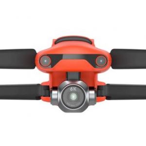
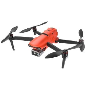
Design leve: Pesando apenas 1.07 kg, it maximizes the flight time of the S400 drone (up to ~50+ minutes depending on conditions).
Especificações técnicas
| Recurso | Especificações |
| Laser Wavelength | 905 nm |
| Taxa de pontos | 720,000 pts/s (Triple Echo) |
| Faixa de detecção | 450 m |
| Campo de visão (FOV) | 70.4° x 4.5° (Repeat Scan) |
| Proteção de entrada | IP54 (Weather resistant) |
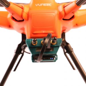
| Armazenamento | 64GB Internal + 128GB SD Card support |
Aplicações comuns
-
Inspeção da linha de energia: Detecting vegetation encroachment and structural sag with high-detail 3D models.
-
Topographic Surveying: Generating Digital Elevation Models (DEM) in forested or rugged terrain.
-
Forestry Management: Measuring tree height, canopy density, and biomass.
-
Disaster Relief: Rapid 3D reconstruction of landslide areas or earthquake zones.
Observação: If you were specifically looking for information on the DJI Matrice 400’s obstacle-sensing LiDAR (the internal sensor used for flight safety), that is a built-in 360° rotating LiDAR used for omnidirectional obstacle avoidance rather than mapping.


Avaliações
Ainda não existem avaliações.