


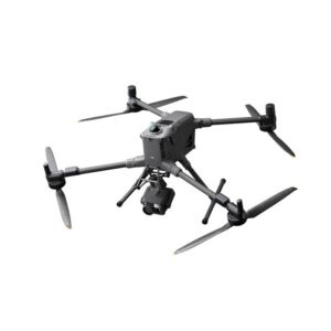
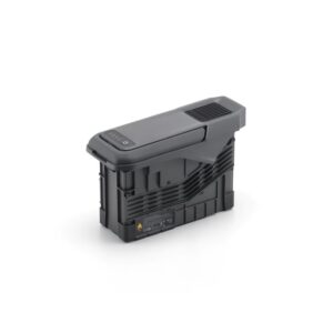


DJI Matrice 400 Worry-Free Plus Combo: La plataforma de vuelo insignia
El M400 es una evolución de la plataforma de drones industriales, diseñada para ofrecer versatilidad, inteligencia y una resistencia extrema.1 El paquete Worry-Free Plus garantiza el máximo tiempo de actividad y tranquilidad.
- Rendimiento de largo alcance y en cualquier condición climática: Alcanza un tiempo de vuelo máximo de hasta 59 minutos (con la carga útil H30T) y funcionan de manera fiable en condiciones adversas gracias a Clasificación IP55 y un amplio rango de temperatura de funcionamiento (-20ºC a 50ºC).
- Máxima seguridad y detección de obstáculos: Vuela con confianza usando Detección de obstáculos a nivel de línea eléctrica. Una fusión de rotación LiDAR, radar de ondas milimétricasy los sensores de visión omnidireccional detectan cables finos y obstáculos, incluso en terrenos complejos, con poca luz o montañosos.
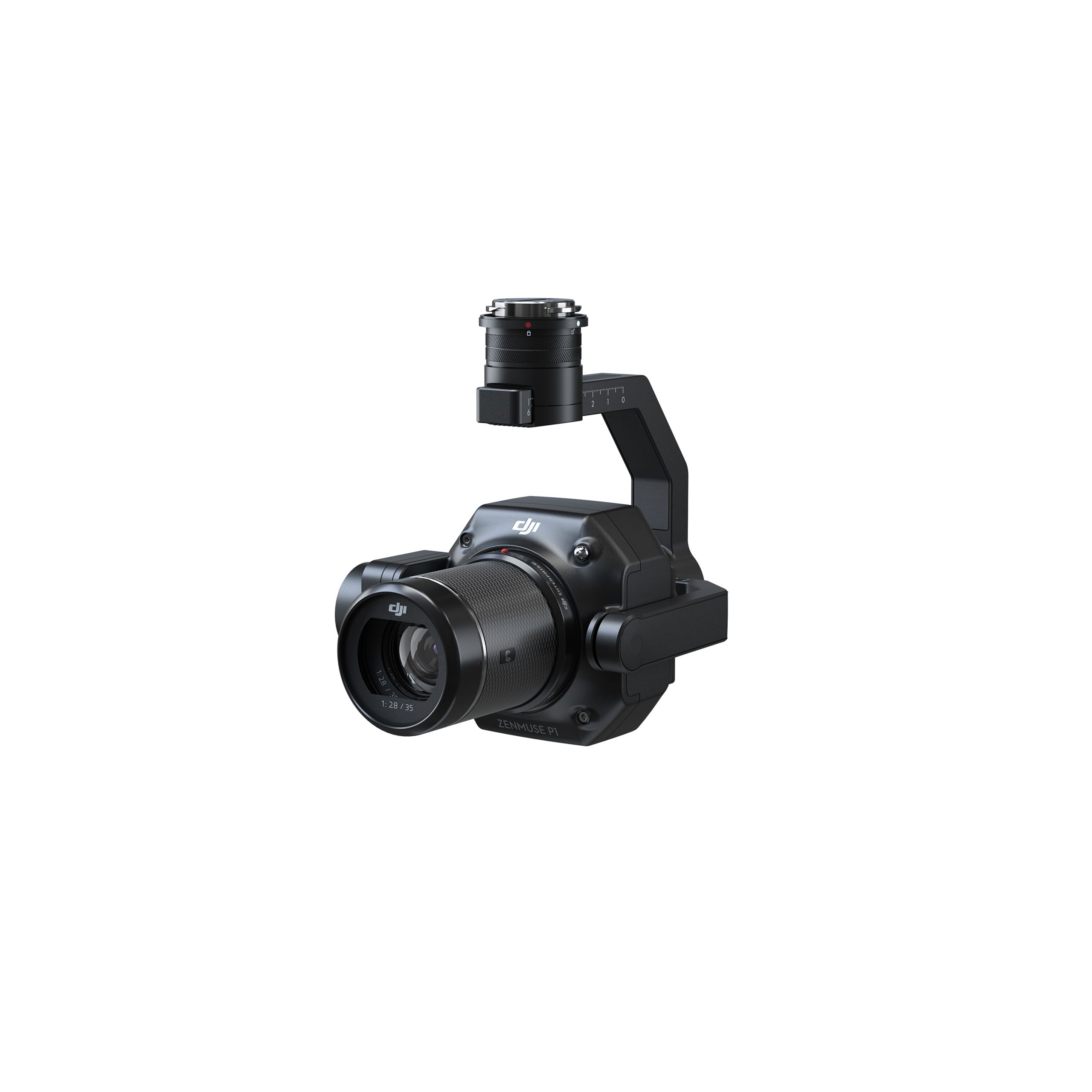
- Gran versatilidad de carga útil: Con una capacidad máxima de carga útil de 6 kilos y con soporte para hasta siete cargas útiles simultáneas (a través de E-Port V2), el M400 es compatible con los sensores más avanzados de DJI, incluidos Zenmuse L2 (LiDAR), la serie H30 (térmica/zoom) y P1 (fotogrametría), adaptándose a cualquier tarea.
- Inteligencia y automatización avanzadas: Optimiza tu flujo de trabajo con funciones como Seguimiento del terreno en tiempo real, Proyección AR inteligente de puntos de ruta y líneas eléctricas, y planificación automatizada de misiones (ruta geométrica y de pendiente) a través de FlightHub 2.
- Protección sin preocupaciones: El paquete combinado incluye un Plan de cuidado DJI Plus de 1 año con activación automática, brindando asistencia para reparaciones y garantizando aún más la durabilidad de su inversión.
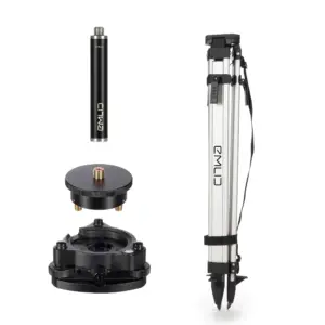
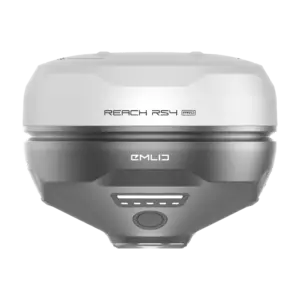
Kit básico Emlid RS4: Precisión GNSS de grado topográfico
El Emlid RS4 es un receptor GNSS robusto de todas las bandas diseñado para proporcionar la referencia terrestre estática de alta precisión (estación base) esencial para la cartografía aérea profesional.
- Precisión a nivel de centímetros: Logre una precisión de posicionamiento excepcional con una precisión horizontal RTK de 7 mm + 1 ppm. El RS4 rastrea todas las principales constelaciones de satélites (GPS, GLONASS, Galileo, BeiDou, etc.) en múltiples frecuencias.
- Fuente de corrección robusta: El kit básico está configurado para registrar datos GNSS sin procesar para Cinemática de postprocesamiento (PPK) flujos de trabajo o transmitir correcciones en tiempo real a través de NTRIP a través de internet o mediante su potente radio de doble banda (UHF/LoRa)
- Diseñado para el campo: Con una durabilidad cuerpo de aleación de magnesio, un clasificación de protección IP68, y un amplio rango de temperatura de funcionamiento (-40ºC a 65ºC), el RS4 está diseñado para un despliegue prolongado en los entornos más difíciles.
- Resistencia durante todo el día: La batería interna de iones de litio proporciona hasta 16 horas de autonomía, garantizando así la recopilación de datos de referencia para un día completo.
El flujo de trabajo sinérgico: la cartografía con drones redefinida
Esta combinación crea la configuración definitiva para el mapeo con drones RTK/PPK. El M400, cuando está equipado con una carga útil de mapeo como el Zenmuse P1 o L2, recibe datos posicionales de alta precisión, ya sea en tiempo real (RTK) o mediante post-procesamiento (PPK) utilizando el archivo de registro estacionario y de alta precisión de la estación base Emlid RS4.
Esta sinergia de nivel profesional es ideal para:
- Levantamiento y cartografía topográfica de alta precisión
- Inspección de infraestructura de precisión (líneas eléctricas, puentes)
- Modelado 3D detallado y cálculos volumétricos
- Monitoreo de obra y verificación de planos finales
Equipe a su equipo con la solución líder para la adquisición de datos aéreos de precisión. La fiabilidad de nivel empresarial del M400, combinada con la precisión topográfica del RS4, garantiza resultados inigualables en cada misión.


Valoraciones
No hay valoraciones aún.