
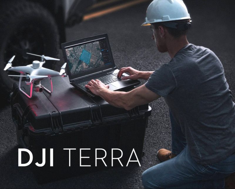
Características principales de la Licencia Permanente Estándar
- Propiedad permanente: A diferencia de los modelos de suscripción, esta es una compra única que le otorga uso de por vida del software en un solo dispositivo, eliminando los cargos recurrentes.
- Reconstrucción 2D de alta precisión: Genere rápidamente mapas de ortofotos digitales verdaderos (TDOM), modelos de superficie digitales (DSM) y otras salidas 2D de alta resolución a partir de imágenes de luz visible.
- Reconstrucción de malla 3D: Cree modelos 3D detallados de edificios, terreno e infraestructura a partir de fotografías aéreas utilizando fotogrametría.
- Procesamiento de nubes de puntos LiDAR: Admite el procesamiento y la integración de datos de los sensores LiDAR DJI Zenmuse (como el L1 o L2) para producir nubes de puntos precisas, mapas 2D y modelos 3D.
- Reconstrucción multiespectral: Procesar datos multiespectrales de drones DJI compatibles (por ejemplo, Mavic 3 Multispectral) para generar mapas de índice de vegetación (NDVI, NDRE) para análisis e investigación agrícola.
- Integración perfecta de hardware: Funciona de forma cohesiva con una gama de drones y cargas útiles DJI Enterprise, proporcionando una solución unificada y eficiente desde la adquisición de datos hasta el resultado final.
- Salida de datos flexible: Exporte datos reconstruidos en formatos estándar de la industria (por ejemplo, TIFF, LAS, PLY, OBJ, B3DM) para una fácil compatibilidad con software CAD y GIS externo.
- Modos de autorización: Admite ambos En línea y Desconectado Modos de autorización para un uso flexible en diversos entornos de trabajo.
Casos de uso
La versión Permanente Estándar es una herramienta versátil para crear activos digitales para:
- Topografía y cartografía: Generación de mapas de nivel topográfico y modelos digitales del terreno.
- Construcción: Monitoreo del avance de obra y mediciones volumétricas.
- Inspección de infraestructura: Creación de modelos para la gestión detallada de activos.
- Agricultura: Analizar la salud de los cultivos y crear mapas de prescripción.
Nota sobre las versiones:
Si bien la versión estándar es una solución robusta, cuenta con funciones avanzadas como Salpicadura gaussiana 3D para modelos fotorrealistas y Computación en clúster Para proyectos masivos, normalmente son exclusivos del nivel superior. Buque insignia DJI Terra versión. La licencia estándar proporciona todas las funcionalidades básicas necesarias para la fotogrametría profesional y el procesamiento de datos LiDAR.


Valoraciones
No hay valoraciones aún.