
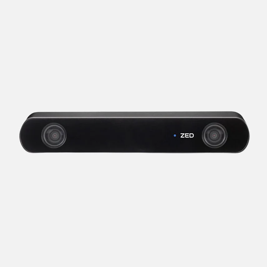
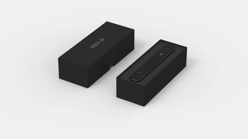
🌟 Características clave
- Cámara 3D con IA: Combina la percepción de profundidad de largo alcance con capacidades de IA para la percepción de entornos 3D.
- Detección de profundidad neuronal: Utiliza una red neuronal para el mapeo de profundidad de alta precisión.
- Detección y seguimiento espacial de objetos: Puede detectar, rastrear y localizar objetos (personas, vehículos, objetos personalizados) en el espacio 3D.
- Sensores integrados: Cuenta con una Unidad de Medición Inercial (IMU) de 9 grados de libertad (DoF) Incluye un acelerómetro, un giroscopio, un magnetómetro y sensores ambientales como un barómetro y un sensor de temperatura, para una percepción espacial y posicional precisa (SLAM visual-inercial de 6 grados de libertad).
- Robusto y apto para exteriores: Tiene un Carcasa totalmente de aluminio con control térmico y es Clasificación IP66 por su resistencia al polvo y al agua, lo que lo hace adecuado para entornos interiores y exteriores exigentes.
- Múltiples opciones de lentes: Disponible con o sin 2,1 mm (campo de visión más amplio) o 4 mm Lente (mayor alcance/mayor precisión de profundidad).
- Polarizador opcional: Se ofrece como opción un filtro polarizador circular (CPL) integrado para reducir el deslumbramiento y los reflejos, especialmente útil en exteriores.
- Conectividad segura: Utiliza un USB 3.0 Tipo C Conexión con tornillos de doble bloqueo para una unión segura.
⚙️ Especificaciones técnicas (Aspectos destacados)
| Característica | Especificación |
| Sensores RGB | Doble sensor CMOS de 1/3" y 4 MP (2688 x 1520 píxeles) |
| Resolución de salida | Arriba a 2x (1920×1080) a 30 fps (Juntos) |
| Base | 12 cm (4,72 pulgadas) |
| Rango de profundidad | Aprox. de 0,3 m a 20 m (de 1 pie a 65,6 pies) |
| Campo de visión (FOV) | Arriba a Diagonal de 120° (con lente de 2,1 mm) |
| Rango de detección de objetos | Arriba a 20 m (3D) y 40 m (2D) |
| Interfaz | USB 3.0 Tipo-C (cable externo de hasta 10 m) |
| Dimensiones | 175,3 x 30,3 x 43,1 mm (6,90 x 1,19 x 1,70 pulgadas) |
| Temperatura de funcionamiento | -10°C a +45°C (14°F a 113°F) |
🛠️ Aplicaciones comunes
La ZED 2i se utiliza ampliamente en:
- Robótica: Para navegación, evitación de obstáculos, SLAM (Localización y Mapeo Simultáneos) y manipulación robótica.
- Conducción autónoma: Percepción y detección del entorno para vehículos.
- Realidad Aumentada/Virtual (RA/RV): Cartografía espacial y seguimiento posicional.
- Automatización industrial: Visión artificial, inspección de objetos y seguimiento.
- Agricultura y logística: Monitoreo ambiental y automatización en condiciones difíciles.

Valoraciones
No hay valoraciones aún.