


Principais recursos e capacidades
- Alcance estendido e alta precisão: Em seu núcleo, encontra-se um potente scanner a laser FT-800, capaz de atingir um alcance de detecção impressionante de 1.500 metros (com refletividade 80%) e manter uma precisão de medição impressionante de 5 mm a 100 metros. Isso permite uma coleta de dados superior em vastas áreas e em altitudes operacionais mais elevadas.
- Sistema POS avançado (AGS 314/gSpin 410): A integração de um GNSS (Sistema Global de Navegação por Satélite) e IMU (Unidade de Medição Inercial) de alto desempenho, como o AGS 314 ou o gSpin 410, é um diferencial fundamental. Este robusto sistema POS garante posicionamento e determinação de atitude altamente precisos em tempo real (por exemplo, precisão de direção de 0,010°, precisão de inclinação/rolagem de 0,003°, precisão de posição horizontal de 0,01 m), cruciais para gerar nuvens de pontos georreferenciadas com precisão.
- Alta densidade de pontos e retornos múltiplos: Com uma taxa de pontos rápida de até 1.500.000 pontos por segundo e suporte para até 5 ou 8 ecos, o GS-1500N captura dados de nuvem de pontos incrivelmente densos e ricos. Esse nível de detalhe é vital para modelagem abrangente de terrenos, extração precisa de objetos e análises aprofundadas.
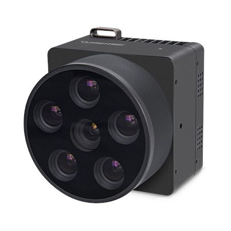
- Câmera RGB de alta resolução integrada: O sistema geralmente inclui uma câmera RGB full frame de alta resolução de 26 MP ou 45 MP (com distâncias focais comuns como 16 mm ou 40 mm). Esta câmera captura informações ricas em cores, permitindo a geração de modelos 3D vibrantes e realistas e melhorando a interpretabilidade visual da nuvem de pontos.
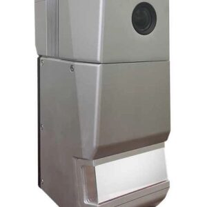
- Design compacto e durável: Envolto em uma liga de alumínio resistente, o GS-1500N foi desenvolvido para condições de campo exigentes. Seu formato leve (cerca de 2,2 kg – 2,5 kg) e compacto garante compatibilidade com uma ampla gama de plataformas de UAV, incluindo modelos populares como o DJI Matrice 300/350 RTK e o Yuneec H850RTK, bem como aeronaves VTOL e outros veículos.
- Fluxo de trabalho de software abrangente: A Geosun fornece um pacote de software completo, incluindo software POS de pré-processamento para processamento de trajetória e software de pós-processamento gAirHawk (geralmente com uma licença perpétua). Isso permite o manuseio eficiente de dados e a saída de dados de nuvem de pontos em formatos padrão do setor, como LAS e TXT personalizado.
- Aplicações versáteis: O GS-1500N (AGS 314) é uma ferramenta altamente versátil para aquisição de informações espaciais 3D em vários setores, incluindo:
- Topografia e Mapeamento: Mapeamento topográfico de alta precisão, levantamentos cadastrais e mapeamento urbano.
- Silvicultura: Estimativa de biomassa, monitoramento da saúde das árvores e inventário florestal.
- Agricultura: Agricultura de precisão, avaliação da saúde das culturas e planejamento de irrigação.
- Inspeção da linha de energia: Mapeamento detalhado de corredores de linhas de energia para manutenção e planejamento.
- Planejamento e Gestão de Territórios: Planejamento urbano, desenvolvimento de infraestrutura e monitoramento ambiental.
- Construção de Cidade Digital: Criação de modelos 3D precisos de ambientes urbanos.
O Geosun GS-1500N (AGS 314) se destaca como uma solução LiDAR robusta e de alto desempenho, capacitando profissionais a capturar dados geoespaciais precisos e detalhados de forma eficiente, mesmo em ambientes desafiadores.


Avaliações
Não existem opiniões ainda.