

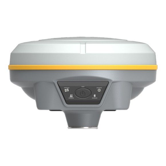
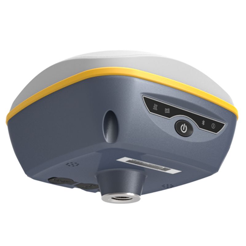
The South Instruments Galaxy G3 is a high-performance GNSS receiver designed for professional surveying and mapping applications. It builds upon the success of its predecessor, the Galaxy G2, offering enhanced accuracy, versatility, and user-friendliness.
Key Features:
-
Ultra-High Precision: Achieves centimeter-level accuracy in real-time and sub-meter accuracy in static mode, making it suitable for demanding applications such as precision land surveying, construction, and underground utility mapping.
-
Expanded Constellation Support: Supports the latest Global Navigation Satellite System (GNSS) constellations, including GPS, GLONASS, BeiDou, Galileo, and QZSS, ensuring reliable positioning even in challenging environments.
-
1598 or 1760 Channels: Utilizes an extensive channel count, enabling it to track multiple satellites simultaneously, enhancing positioning accuracy and fast convergence times.
-
Advanced IMU Integration: Features a high-precision Inertial Measurement Unit (IMU) for robust tilt compensation and real-time attitude estimation, providing stable and reliable positioning in various terrains.
-
Powerful SoC: Equipped with a powerful System-on-a-Chip (SoC) that ensures efficient power consumption, fast processing speeds, and compatibility with advanced data processing algorithms.
-
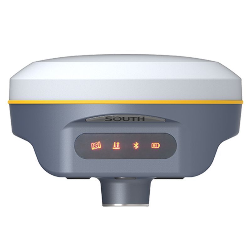
User-Friendly Interface: Employs an intuitive and user-friendly graphical interface for easy operation and configuration, even for non-technical users.
-
Data Formats Support: Supports a wide range of data formats, including RINEX, TXT, LOG, DXF, and DWG, for seamless integration with various software applications.
-
Compatibility with Peripherals: Can be seamlessly connected to various peripherals, such as total stations, data collectors, and controllers, for enhanced functionality.
Applications:
-
Land Surveying: Accurately locate points, boundaries, and structures, essential for land registration, property demarcation, and construction site layout.
-
Construction Engineering: Aids in precisely determining slopes, volumes, and elevations, facilitating efficient site planning, earthwork calculations, and monitoring of construction progress.
-
Mining and Tunneling: Provides precise positioning for underground operations, ensuring safe and efficient mine planning, excavation, and resource extraction.
-
Boundary Surveys: Determines accurate boundaries and property lines, essential for land ownership verification, legal disputes, and easement management.
-
Topographic Mapping: Creates detailed elevation profiles and maps, crucial for infrastructure development, environmental studies, and resource exploration.
Specifications
- Channels – 1598
- IMU Tilt Sensor – 60°
- Internet Modem – None
- UHF Radio – 410 – 470MHz
- GPS L1, L1C, L2C, L2P, L
- GLONASS L1C/A, L1P, L2C/A, L2P, L3
- GALILEO E1, E5A, E5B, E6C, AltBOC
- BEIDOU BDS-2: B1I, B2I, B3I, BDS-3: B1I, B3I, B1C, B2A, B2B
In the box
- 1x TNC UHF Antenna
- 1x PD Power Adapter
- 1x TYP-C Data Cable
- 1x TYP-C Charging Cable
- 1x Measuring Plate
- 1x Connector
- 1x Carrying Case


Reviews
There are no reviews yet.