


Key Features
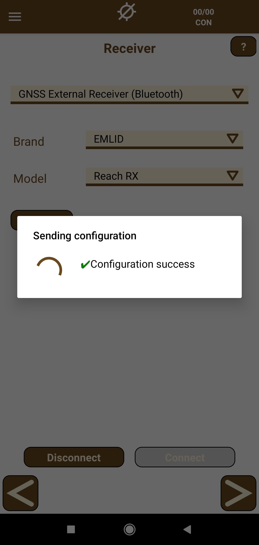
- GNSS Receiver Compatibility: Connects easily with a wide range of external GNSS (GPS, GLONASS, BeiDou, Galileo) receivers via Bluetooth, as well as integrated device GPS. It supports various configurations for RTK (Real-Time Kinematic) using UHF, GPRS, or GSM corrections.
- Comprehensive Surveying:
- Data Collection: Survey topographic points, linear objects, and polygons with a simple tap.
- Continuous Survey: Automatically record points based on distance, time, or slope interval.
- Data Richness: Link photos, voice notes, and user-defined attributes/codes to survey points, making it ideal for GIS projects.
- Intuitive Stake Out:
- Multiple Guidance Modes: Stake out points, lines, or polylines using a map, compass, target view, or even Augmented Reality for intuitive field guidance.
- Voice Prompts: A voice system informs the user about proximity to the target point.
- Mapping and Cartography:
- Base Maps: Utilize worldwide coverage ESRI™ base maps (street, satellite, or topographic view).
- Data Integration: Load cartography from CAD/GIS files like DXF, DWG, Shapefiles, KML, or use official Web Map Services (WMS).
- Geodetic Systems: Includes the EPSG geodetic parameter dataset to work with various national and local coordinate reference systems.
- Professional/Advanced Features (Optional): The professional version is tailored for civil projects, enabling the import of road, railway, and linear design files (like LandXML). It offers tools for:
- Stakeout relative to alignments (road edges, curbs, slopes).
- Digital Terrain Model (DTM) and contour line generation.
- Elevation comparison against a reference surface.
- Data Management: Export collected data to multiple formats (TXT, DXF, KML, etc.) and synchronize all information with cloud services like Google Drive™.


Reviews
There are no reviews yet.