
Key Features and Applications
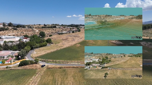
- Digital Terrain Modeling (DTM): Advanced functions for creating, editing, and analyzing digital terrain models, generating contour lines, and working with surfaces, including tools for subgrades and slope analysis.
- Road and Alignment Design: Provides tools for designing both horizontal and vertical alignments for roads, railways, and other linear infrastructure.
- Earthworks and Volume Calculation: Features for defining project cross-sections (platforms, ditches, slopes, pavement layers), calculating cut and fill volumes, and determining the optimum elevation to balance earthworks.
- Utility Network Design: Includes specialized tools for drawing and designing water, sewerage, and rainwater networks, with representation in top view, profile, and cross-sections.
- Setting-Out: Comprehensive tools for setting-out roads and isolated points, essential for field operations.
- BIM and GIS Integration: Supports integration into OpenBIM workflows through the exchange of industry-standard files like IFC and LandXML. It also allows for importing and exporting GIS data and connecting to web map services (WMS/WMTS).
- Visualization and Reporting: Features include a virtual tour with export to video, and the generation of detailed measurement reports, quantity take-offs, and budgets.
tcpMDT Professional NETWORK is the all-in-one toolkit trusted by professionals in public administration, construction, engineering, architecture, and town planning firms for projects such as roads, urban developments, quarries, and mining operations.


Reviews
There are no reviews yet.