
Key Features & Capabilities
- Network Licensing (NETWORK): This version includes a floating Network License, managed via a license server, making it the perfect solution for teams and organizations who need to share resources and maximize software usage across multiple workstations.
- Complete Surveying Module (Surveying): Process raw total station observations, perform point coordinate calculations, compensate traverses and networks, and execute global and local coordinate transformations with access to the global EPSG database of reference systems.
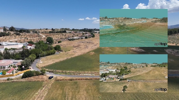
- Advanced Digital Terrain Modeling (DTM): Create, edit, and analyze Digital Terrain Models, generate precise contour lines, profiles (longitudinal and cross-sections), and volume reports for cut/fill analysis and earthworks.
- Comprehensive Civil Design: Design and manage horizontal and vertical alignments for roads, railways, and infrastructure. Define project templates, standard sections (platforms, ditches, slopes, pavement layers), and generate detailed stakeout reports.
- Infrastructure Network Design: Specialized tools for the drawing and design of water, sewerage, and rainwater networks, including representation in plan view, profile, and cross-sections.
- OpenBIM and GIS Integration: Seamlessly integrate into OpenBIM workflows with full support for importing and exporting industry-standard formats such as IFC and LandXML, alongside GIS data import/export.
- Visualization and Reporting: Leverage a virtual tour feature with video export and generate detailed, customizable reports on areas, volumes, measurements, and budgets.
- CAD Platform Flexibility: Integrates directly into leading CAD environments, including AutoCAD, BricsCAD, GstarCAD, and ZWCAD, allowing your team to work within a familiar interface.
tcpMDT Professional + Surveying NETWORK delivers the power, precision, and flexibility required for large-scale, collaborative projects, from urban developments and quarries to road design and infrastructure planning.


Reviews
There are no reviews yet.