
Key Features of tcpMDT Standard
- Surveys and Point Management: Imports and exports point data from total stations, GNSS receivers, and various file formats (e.g., LandXML, DWG). It also supports automatic drawing from point codes.
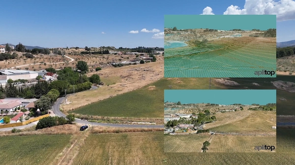
- Digital Terrain Model (DTM): Allows for the creation of a Digital Terrain Model from measured points.
- Contour Lines: Generates contour lines based on the DTM.
- Profiles and Cross-Sections: Calculates and draws longitudinal and transverse profiles of the terrain.
- Volume Calculations: Computes volumes, typically between the terrain model and a base elevation or a reference plane.
- 3D Visualization: Includes tools for 3D visualization of the terrain, including meshes, height/slope maps, and a terrain viewer with textures.
- GIS Integration: Supports import and export of GIS data and connection to web map services.
- Utilities: Contains tools for working with plots and other general drawing utilities.
Comparison to other tcpMDT Modules
tcpMDT is a modular system with other versions that offer more advanced features:
- tcpMDT Professional: Includes all the Standard features plus advanced tools for road design (horizontal and vertical alignments), project sections, earthwork calculations, stakeout reports, water/sewerage/rainwater networks, and virtual walkthroughs. It’s designed for more complex civil engineering projects like roads and urbanizations.
- tcpMDT Surveying: A module often bundled with Standard or Professional, specializing in coordinate transformations (global and local) and the processing of total station observations including the calculation of point coordinates and compensation of traverses and networks.
In essence, tcpMDT Standard is the foundational package for topographical surveys, terrain modeling, and simple volume analysis.


Reviews
There are no reviews yet.