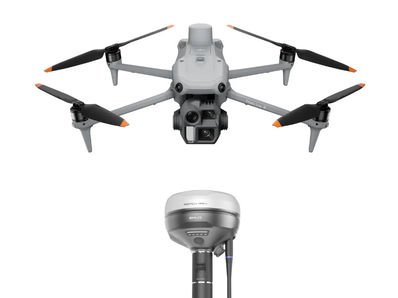
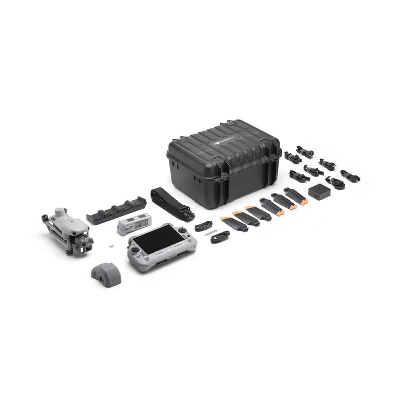
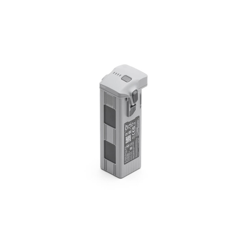
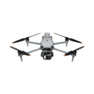
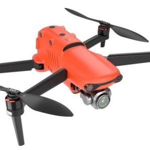
🚁 DJI Matrice 4E (M4E)
The DJI Matrice 4E is an advanced, multi-sensor industrial drone primarily designed for high-efficiency surveying and mapping.
| Feature | Detail | Benefit for Mapping |
| Integrated RTK Module | Built-in high-precision GNSS/RTK module. | Provides real-time, centimeter-level positioning for the drone. |
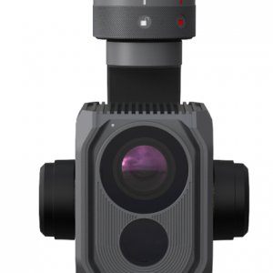
| Camera System | Wide-angle camera (with a mechanical shutter), Medium Telephoto, Telephoto, and a Laser Rangefinder. | The mechanical shutter eliminates rolling shutter distortion, which is critical for accurate photogrammetry models. |
| GNSS+Vision Fusion | Advanced positioning system. | Ensures stable and safe flight, even when GNSS signals are weak (e.g., urban canyons). |
| High Efficiency | Supports fast interval shooting (as low as 0.5s) and intelligent flight modes. | Covers large areas quickly while maintaining high image overlap for 3D model accuracy. |
| Data Flow | Records images with highly accurate, corrected positional data (PPK/RTK data). | Used to process aerial images into accurate orthomosaics and 3D models. |
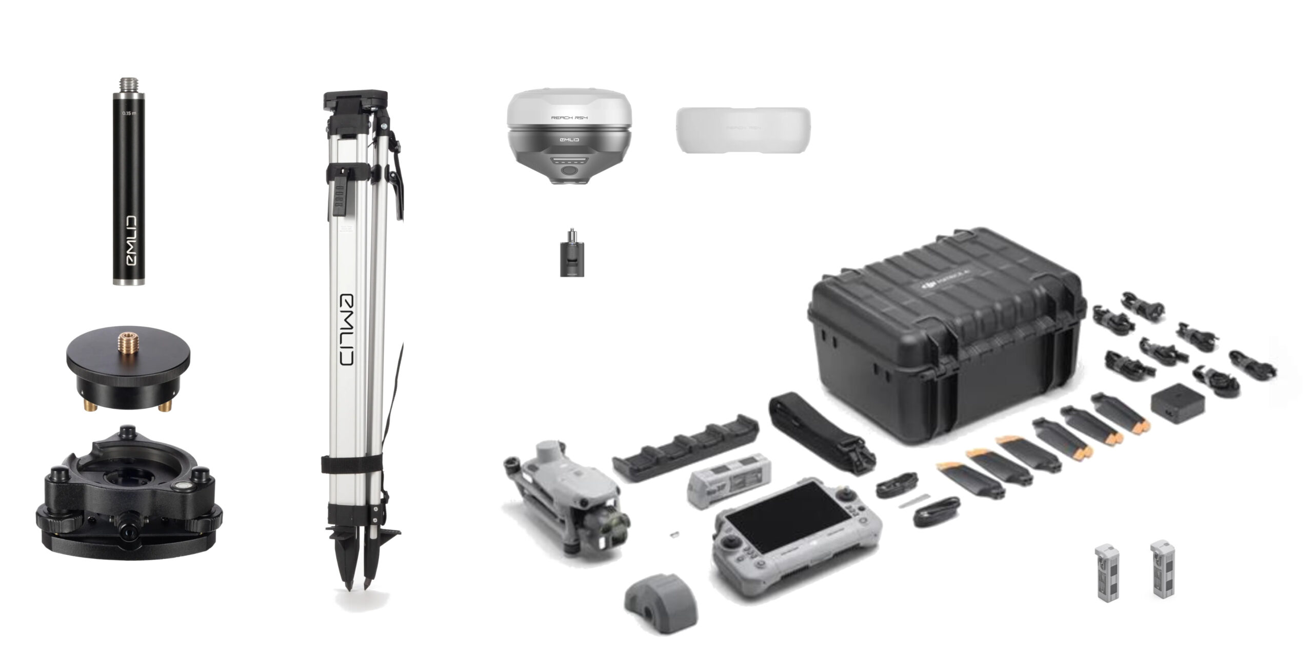
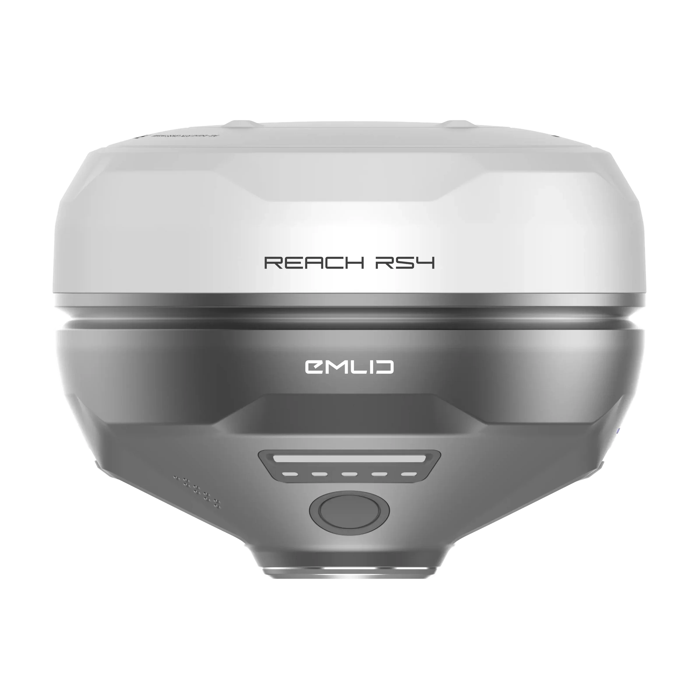
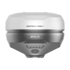
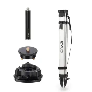
🛰️ Emlid Reach RS4 Base Kit
The Emlid Reach RS4 is a multi-band GNSS receiver intended to serve as a fixed reference base station for an RTK or PPK workflow.
| Feature | Detail | Benefit for Mapping |
| Base Function | Stays at a known or easily measurable point on the ground. | Establishes a static, highly accurate location to serve as the reference for the drone. |
| Multi-band GNSS | Tracks all major satellite constellations (GPS, GLONASS, Galileo, BeiDou, etc.) on multiple frequencies. | Maximizes reliability and accuracy of the correction data. |
| Correction Data | Records raw GNSS data for Post-Processing Kinematic (PPK) and/or transmits Real-Time Kinematic (RTK) corrections. | Provides the precise information needed to correct the drone’s lower-accuracy GNSS data to centimeter-level accuracy. |
| Rugged Design | IP68 rating, durable magnesium alloy body. | Suitable for deployment on job sites for extended periods. |
🌐 The Synergistic Workflow
The Matrice 4E and the Emlid RS4 Base Kit work together to perform high-accuracy drone mapping in two primary ways:
- RTK Workflow (Real-Time):
- The Emlid RS4 Base is set up and transmits real-time correction data (via NTRIP over the internet or UHF/LoRa radio).
- The DJI M4E receives these corrections mid-flight, allowing the drone to tag each image with a centimeter-accurate coordinate in real-time.
- PPK Workflow (Post-Processed):
- The Emlid RS4 Base records its raw GNSS data while the DJI M4E also records its own raw data (or at least high-quality positional logs).
- After the flight, the drone’s image positions are corrected using the stationary, high-accuracy raw data from the Emlid RS4 base station. This is often preferred for mapping as it is generally more robust and less susceptible to momentary signal drops.
This combination is a highly effective, professional solution for projects requiring survey-grade accuracy in the final deliverables, such as volumetric calculations, detailed engineering models, and cadastral surveys.





Reviews
There are no reviews yet.