Key Features of the Standard Version
- 2D Map & Orthomosaic Reconstruction: Rapidly generate high-resolution, centimeter-level accurate 2D orthomosaic maps and Digital Surface Models (DSM) from visible light imagery.
- 3D Mesh Model Reconstruction: Create detailed and realistic 3D mesh models of structures and environments using advanced photogrammetry technology.
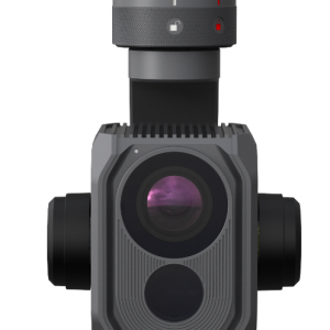
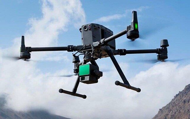
- Procesamiento de nubes de puntos LiDAR: Fully integrate with DJI Zenmuse LiDAR systems (like L1/L2) to process point cloud data, fuse it with visible light images, and generate precise 2D/3D outputs and ground points.
- Reconstrucción multiespectral: Process data from multispectral drones (e.g., DJI Mavic 3 Multispectral) to generate vegetation index maps like NDVI y NDRE for agricultural health analysis and remote sensing research.
- Mission Planning: Plan automated and efficient flight paths with multiple mission types, including Area, Waypoint, and Oblicuo missions.
- Data Analysis Tools: Utilize easy-to-use analysis tools to obtain various measurements, including linear distance, surface area, and volumetric estimations.
- Coordinate System Support: Supports over 8,500 major coordinate systems and the use of Ground Control Points (GCPs) for enhanced absolute accuracy.
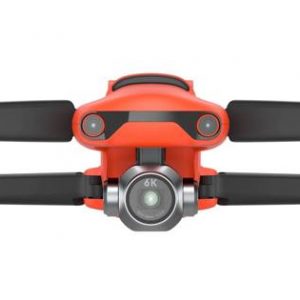
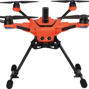
- Integration: Seamlessly connects with DJI Enterprise drones and supports integration with DJI Modify software for post-processing model editing.
License Details:
- Duración: 1-Year (Annual Subscription).
- Device Binding: Typically bound to a single computer.
- Authorization: Supports both Online y Offline authorization options (Offline version is ideal for secure or remote field environments with limited or no internet access).
DJI Terra Standard 1 Year is an essential tool for professionals seeking a unified, efficient, and highly accurate workflow for aerial data acquisition, processing, and application.










Valoraciones
No hay valoraciones aún.