Key Features and Modes of Operation
- Centimeter-Level Positioning: Equipped to track and resolve data from all major global satellite navigation systems (GPS, GLONASS, BeiDou, Galileo, QZSS, L-Band) across multiple frequencies.3 This ensures high-accuracy positioning, delivering Horizontal accuracy of 4$0.8 \text{ cm} + 1 \text{ ppm (RMS)}$ and Vertical accuracy of 5$1.5 \text{ cm} + 1 \text{ ppm (RMS)}$ in RTK mode.
- Three Operation Modes for Versatility:
- Base Station Mode (Broadcast): Provides real-time, centimeter-level positioning corrections for multiple compatible DJI drones simultaneously, maximizing efficiency for fleet operations without extra configuration.
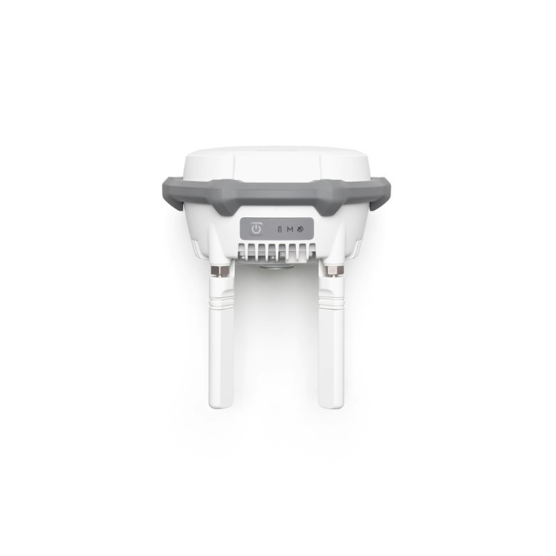
- Relay Station Mode: Extends the video transmission and operational range of compatible drones, such as the Matrice 4 Series, particularly useful in environments with signal obstructions like urban areas or valleys.8 It can significantly enhance communication stability and coverage.
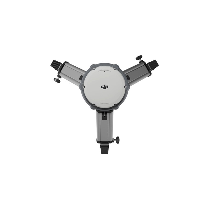
- Rover Station Mode: Transforms the D-RTK 3 into a mobile solution for collecting high-precision Ground Control Point (GCP) coordinates.10 When paired with the DJI ENTERPRISE app and DJI Terra, it supports tilt compensation, allowing for accurate measurement even when the survey pole is not perfectly vertical (tilt accuracy 11$<2 \text{ cm}$ within 12$30^\circ$ tilt angle).
- Robust and Reliable Design:
- IP67 Protection Rating (station only) ensures durability and resistance to dust and water, making it suitable for challenging outdoor environments.
- Features a high-performance air dielectric antenna with a physical filtering design for strong resistance to multi-path interference and effective tracking of low-elevation satellites.
- Seamless Enterprise Integration: The D-RTK 3 integrates smoothly into the DJI enterprise ecosystem, working with the DJI ENTERPRISE app for simplified GCP setup and with DJI Terra for efficient post-processing, including PPK (Post-Processed Kinematics) and RTK (Real-Time Kinematics) workflows.
Ideal Use Cases
The DJI D-RTK 3 Multifunctional Station is an indispensable tool for professionals in industries that demand high-precision data, including:
- Surveying and Mapping: Creating high-accuracy topographic maps, 3D models, and generating highly precise geospatial data.
- Construction and BIM: Monitoring construction progress, performing as-built surveys, and ensuring precise project execution.
- Precision Agriculture: Generating detailed crop maps for effective resource management.
- Infrastructure Inspection: Providing stable, accurate positioning for detailed inspection of power lines, pipelines, and other critical infrastructure.
- Public Safety: Supporting search and rescue or accident reconstruction with reliable, extended-range communication and precise positioning.
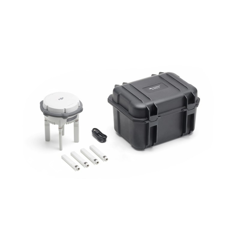
IN THE BOX
1x D-RTK 3 Multifunctional Station
4x Spare OcuSync Directional Antennas
1x USB-A to USB-C Cable




Reviews
There are no reviews yet.