Precise, fast drone mapping even on a large scale
Pix4Dmatic is designed for the latest generation of drones for professional applications and transforms your extensive image collections into precise point clouds.
Do you have big plans?
The optimal software for innovative surveying and mapping
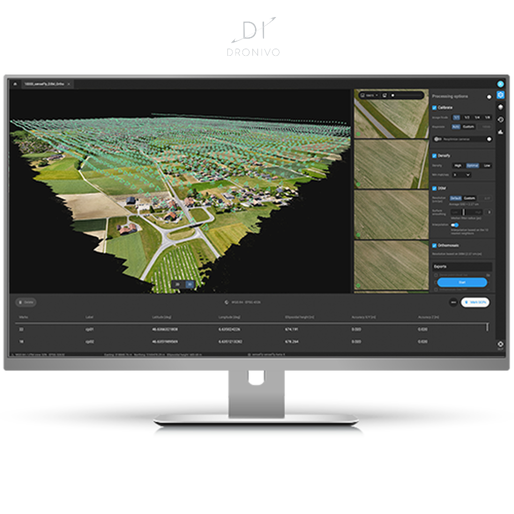
Larger data sets, precise results: With Pix4Dmatic, thousands of images can be processed while maintaining the highest measurement precision. You can convert your image collection into a point cloud twice as quickly without the hassle of splitting and merging the files.
Process optimization: Developed in close cooperation with surveying experts and mapping professionals to streamline your workflows: With just a few clicks you can import, process and check a project and then switch seamlessly from Pix4Dmatic to Pix4Dsurvey.
Future-proof, also for BVLOS: Pix4Dmatic is prepared for processing the extensive data sets typical for BVLOS drone flights (flying out of sight) *. * Where permitted by law.
–Introducing Pix4Dmatic–
All relevant output formats while maintaining the highest precision
..in a fraction of the time
Dense point cloud
Create dense point clouds for large areas. Pix4D’s own .bpc file format is specially designed for loading and editing large point clouds.
Orthomosaic
Create geometrically corrected and thus true-to-scale 2D maps. Thanks to color matching, the result looks like a large photo.
Digital surface model (DOM)
Create a digital image of all objects in the mapped area. The image includes both natural landscape features and man-made objects such as buildings.
Compatible with Pix4Dsurvey
Seamless export of the processed projects in Pix4Dsurvey, where point clouds are converted into usable data for CAD software.







Reviews
There are no reviews yet.