

CAPTURE
Fly your drone to capture the images you need. Plan an optimized and automated flight with an app like Pix4Dcapture for Parrot and DJI drones.
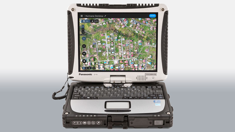
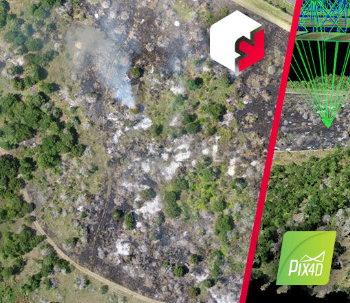
PROCESS
Combine large numbers of images in minutes with Pix4Dreact. Create measurable 2D maps in the field or back at base.
*Results and speed will vary according to image size and number.
EXAMINE
With Pix4Dreact’s simple tools, identify and measure points of interest, mark and evaluate your maps while on the ground to provide powerful data needed to take action.
SHARE
Export your maps to ensure teams and decision makers are provided with effective information when it’s needed most.
RESPOND
With up-to-date maps, gain precious time, improve safety and reduce costs when responding to an evolving situation.


Reviews
There are no reviews yet.