


Core Capabilities and Features
- Extended Range and High Accuracy: At its heart lies a powerful FT-800 laser scanner, capable of a remarkable 1500-meter detection range (at 80% reflectivity) and maintaining an impressive measuring accuracy of 5mm at 100 meters. This allows for superior data collection over vast areas and from higher operating altitudes.
- Advanced POS System (AGS 314/gSpin 410): The integration of a high-performance GNSS (Global Navigation Satellite System) and IMU (Inertial Measurement Unit) like the AGS 314 or gSpin 410 is a key differentiator. This robust POS system ensures highly accurate real-time positioning and attitude determination (e.g., heading accuracy of 0.010°, pitch/roll accuracy of 0.003°, horizontal position accuracy of 0.01m), crucial for generating precisely geo-referenced point clouds.
- High Point Density and Multiple Returns: With a rapid point rate of up to 1,500,000 points per second and support for up to 5 or 8 echoes, the GS-1500N captures incredibly dense and rich point cloud data. This level of detail is vital for comprehensive terrain modeling, precise object extraction, and in-depth analysis.
- Integrated High-Resolution RGB Camera: The system often includes a high-resolution 26MP or 45MP full-frame RGB camera (with common focal lengths like 16mm or 40mm). This camera captures rich color information, enabling the generation of vibrant, true-to-life 3D models and enhancing the visual interpretability of the point cloud.
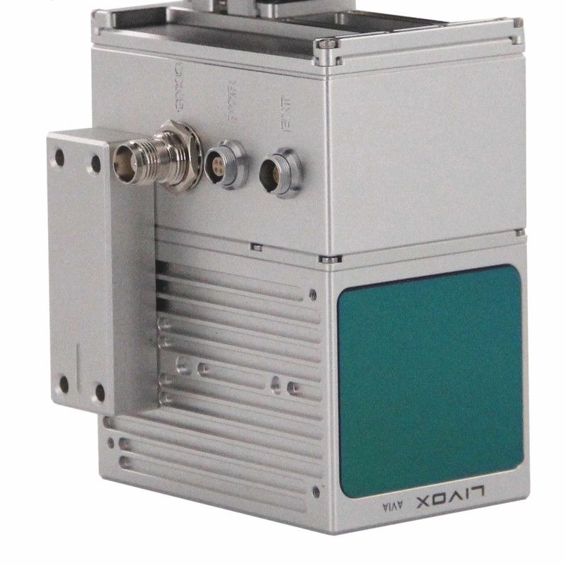
- Compact and Durable Design: Encased in a rugged aluminum alloy, the GS-1500N is built for demanding field conditions. Its lightweight (around 2.2kg – 2.5kg) and compact form factor ensure compatibility with a wide range of UAV platforms, including popular models like the DJI Matrice 300/350 RTK and Yuneec H850RTK, as well as VTOL aircraft and other vehicles.
- Comprehensive Software Workflow: Geosun provides a complete software suite, including pre-processing POS software for trajectory processing and gAirHawk Post-processing software (often with a perpetual license). This allows for efficient data handling and the output of point cloud data in industry-standard formats such as LAS and custom TXT.
- Versatile Applications: The GS-1500N (AGS 314) is a highly versatile tool for acquiring 3D spatial information across numerous sectors, including:
- Surveying and Mapping: High-precision topographic mapping, cadastral surveys, and urban mapping.
- Forestry: Biomass estimation, tree health monitoring, and forest inventory.
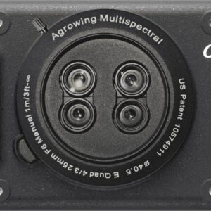
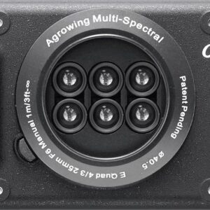
- Agriculture: Precision farming, crop health assessment, and irrigation planning.
- Power Line Inspection: Detailed mapping of power line corridors for maintenance and planning.
- Land Planning and Management: Urban planning, infrastructure development, and environmental monitoring.
- Digital City Construction: Creating accurate 3D models of urban environments.
The Geosun GS-1500N (AGS 314) stands out as a robust, high-performance LiDAR solution, empowering professionals to capture accurate and detailed geospatial data efficiently, even in challenging environments.


Reviews
There are no reviews yet.