
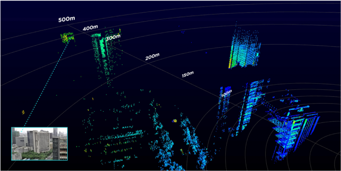
Long Detection Range
The Livox Avia adjusts its detection range according to the intensity of ambient light, while maintaining noise at a low level. The detection range increases to 450m under low-light conditions (such as on a cloudy day, indoors or at night), ensuring distant objects are captured in detail.
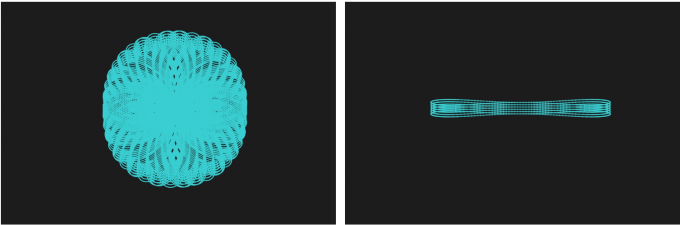
Dual-Scanning Mode
The use of multi-line laser and high-speed scanning enable the Livox Avia to achieve a point cloud data rate of up to 240,000 points/s. The high performance device is equipped with both repetitive and non-repetitive scanning modes, to meet the needs of different scenarios.
Specification
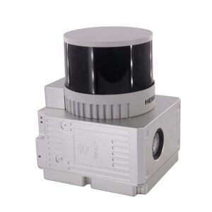
| gAirHawk GS-100C | ||
| Item Name | System Parameter | |
|
GS-100C+ Parameter |
Weight | 1022 G |
| Measuring accuracy | Less than 15 cm (100 m AGL) | |
| Power range | 12V~16V | |
| Working temperature | -20℃~+55℃ | |
| Consumption | Average 20W | |
| Support Platform | DJI M300 RTK (RTK mode) | |
| Storage | 64 GB storage, maximum support 128GB TF card | |
|
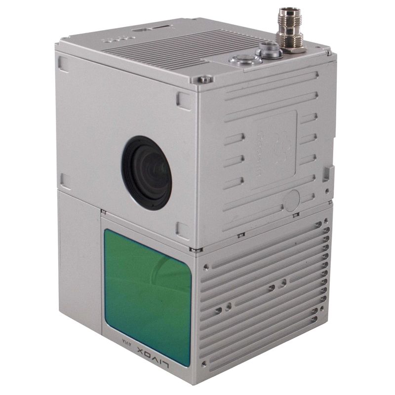
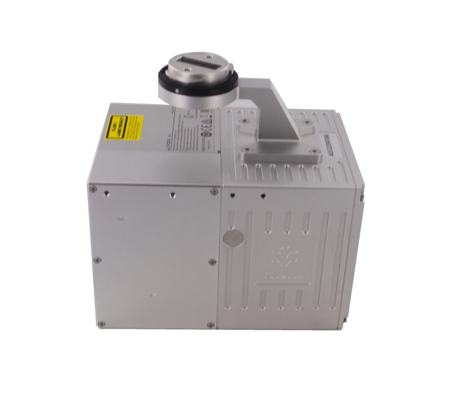
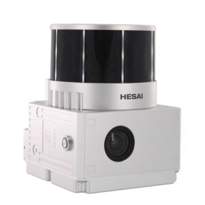
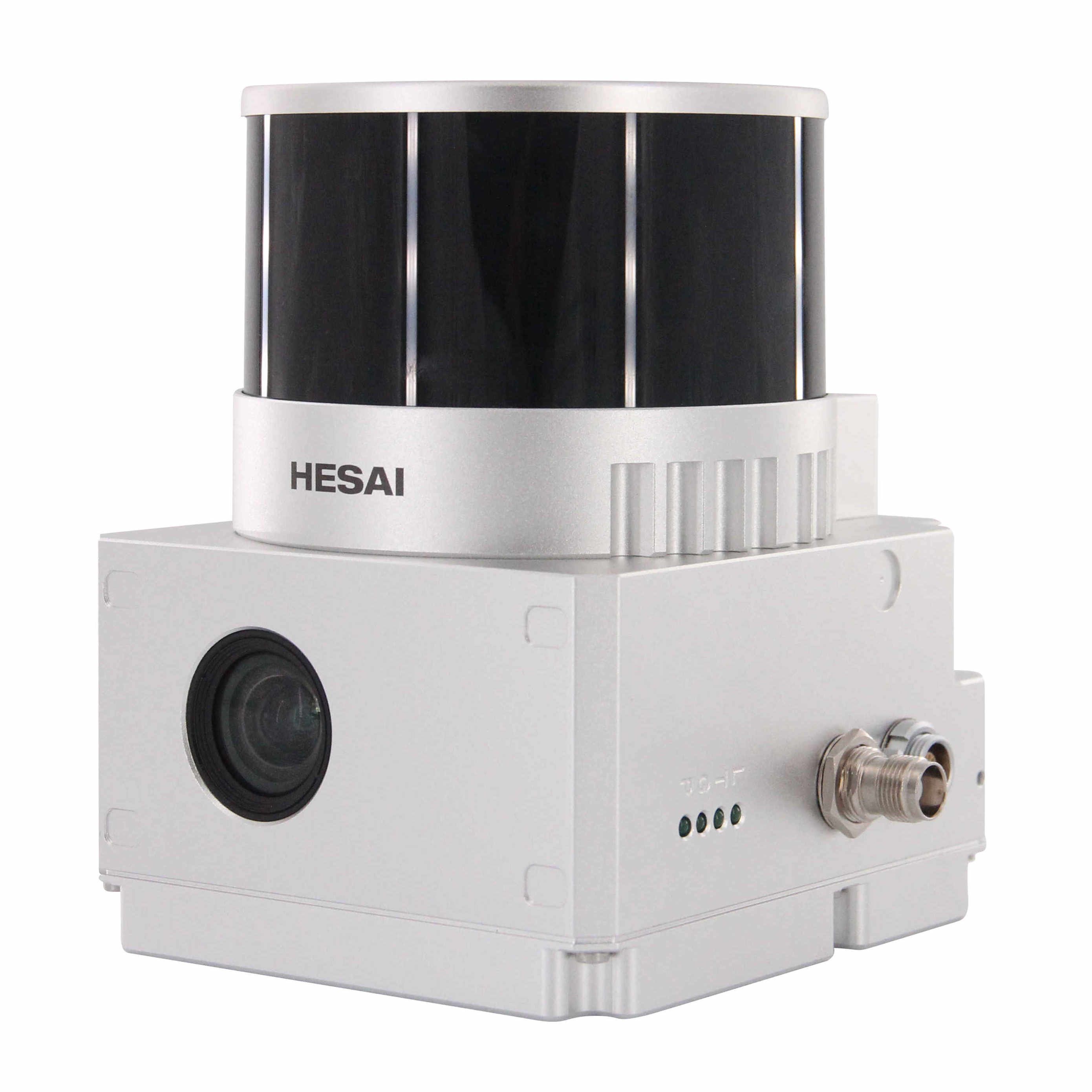
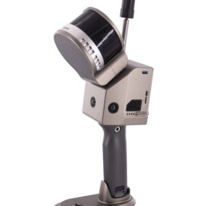
Lidar Unit
|
Laser Model | Livox Avia |
| Measuring Range | 190m@10% Reflectivity | |
| Laser class | 905nm Class1 (IEC 60825-1:2014) | |
| Laser line number | Equivalent to 64-beam | |
| Mix. range | 0.3 M | |
| Range Precision | 2 cm | |
| data | Triple echo, 720,000 Points/Sec | |
| FOV | 70° the circular view | |
| POS Unit | POS type | AGS 302 |
| Update frequency | 200HZ | |
| Heading accuracy | 0.040° | |
| Pitch accuracy | 0.015° | |
| Rolling accuracy | 0.015° | |
| Position accuracy | 0.02 – 0.05m | |
| GNSS signal type | GPSL1/L2/L5 GLONASSL1/L2 BDS B1/B2/B3 GAL E1/E5a/5b | |
| Pre-processing software | POS software | Output information: position, speed, attitude |
| Point cloud software | Output point cloud data format: LAS format, custom TXT format | |
| Build-in Camera | FOV | 83 Degree |
| Effective Pixel | 26 Mega Pixel | |
| Trigger event | Distance or Time trigger | |
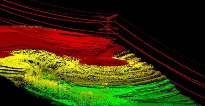
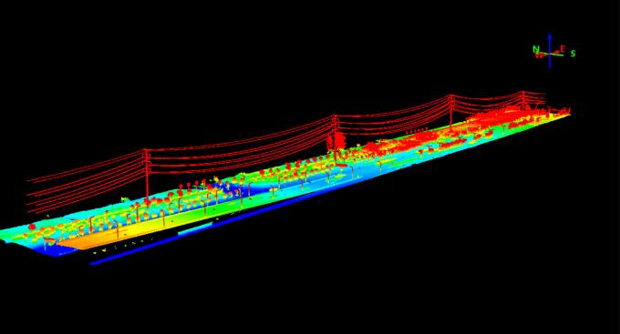
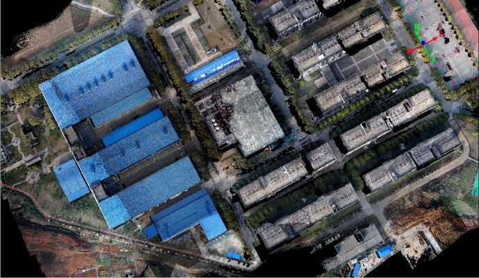
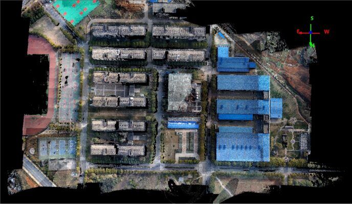
Application for mapping & survey
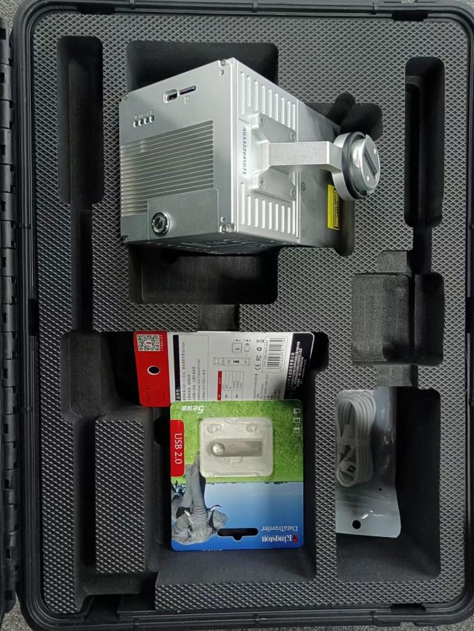
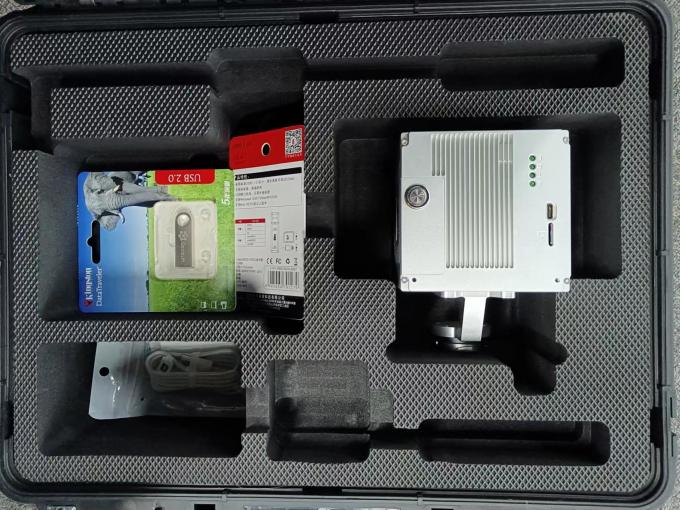
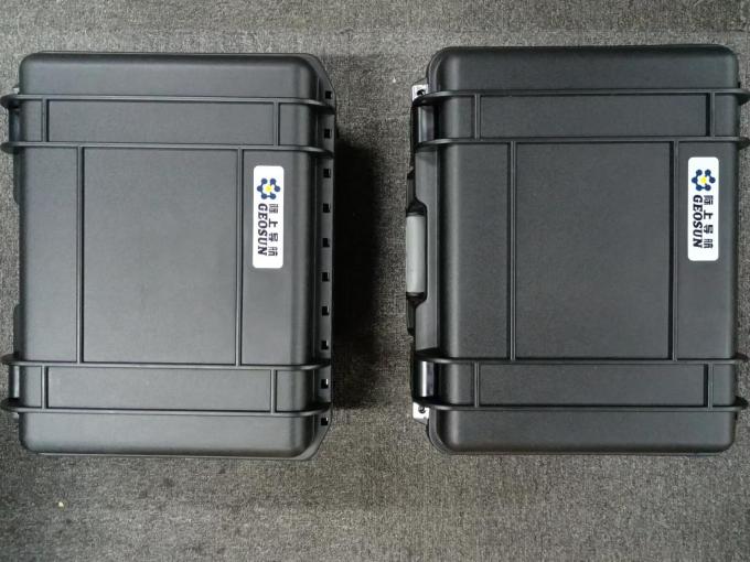
Package
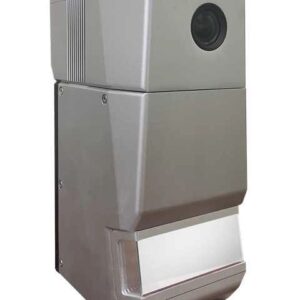
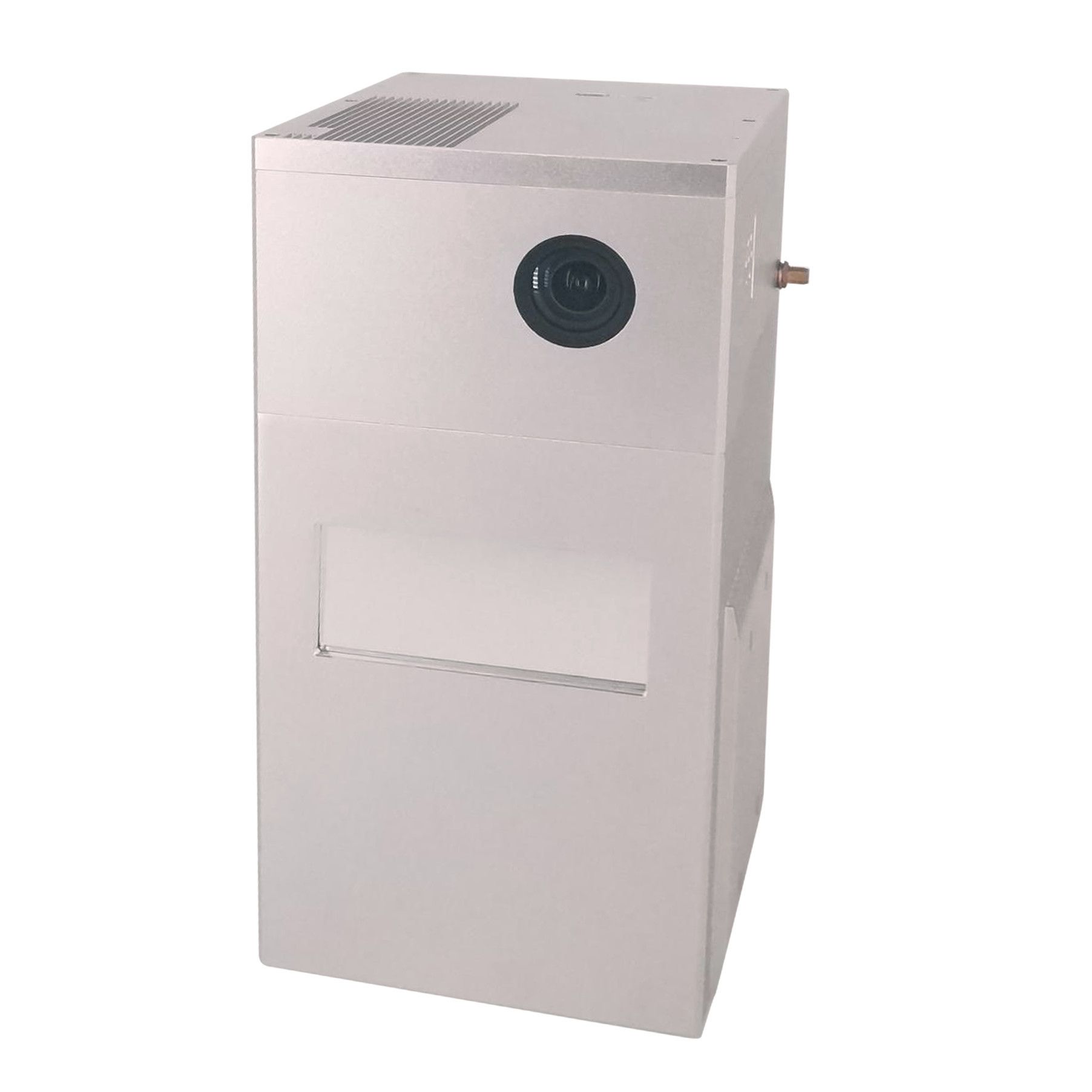
It is packed by suit case with EVA material liner inside, then covered by hard carton box. It is suitable for air shipment and sea shipment.
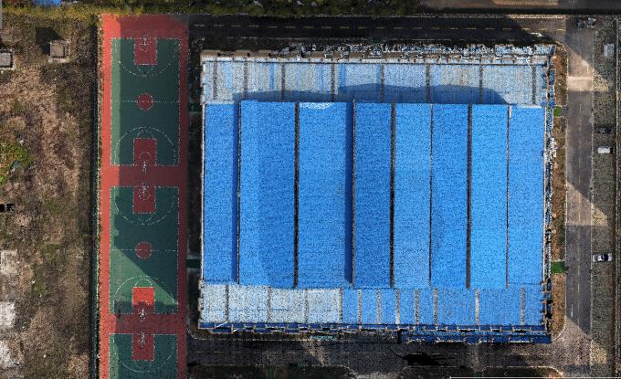
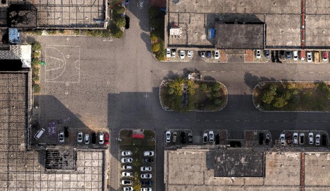
Color Point Cloud
gAirHawk is a lidar scanning system acquisition monitoring and point cloud computing software self-developed by Geosun Navigation. It supports real-time configuration and monitoring of field data acquisition systems, decoding of real-time and post-process laser scanning data, calculation and display of point cloud data, supporting software for Geosun lidar scanning system.


Reviews
There are no reviews yet.