


Key Features and Benefits
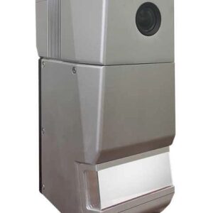
- Compact and Lightweight Design: Weighing in at approximately 1.1 kg and with dimensions around 14.4 × 10.9 × 12 cm, the GS-260H is remarkably compact. This portability maximizes drone flight time and makes it easy to integrate with a wide range of platforms, including popular models like the DJI Matrice series.
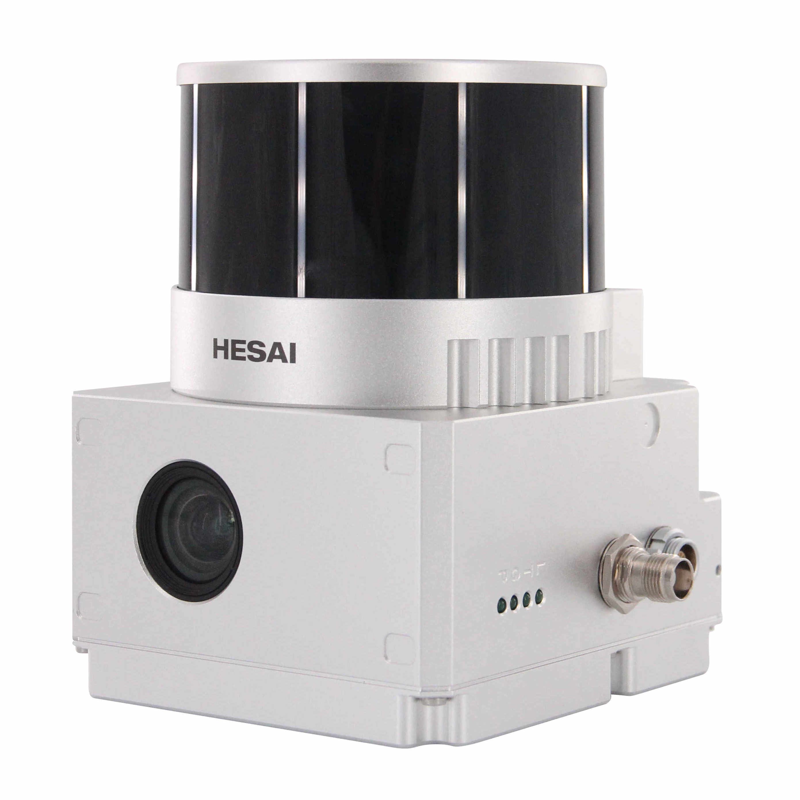
- High-Density Point Cloud Acquisition: The system is capable of capturing up to 1,920,000 points per second with triple returns. This high point rate ensures incredibly dense and detailed point cloud data, which is crucial for intricate modeling and analysis.
- Effective Measuring Range: It boasts a maximum measuring range of 300 meters (at 80% reflectivity) and a typical range of 80m at 10% reflectivity. With a range accuracy of ±1cm (typical value), it delivers reliable measurements for various applications.
- Integrated High-Precision POS System: The GS-260H incorporates a high-performance GNSS (Global Navigation Satellite System) and IMU (Inertial Measurement Unit) with a 200Hz update frequency. This integrated POS system ensures highly accurate positioning and attitude determination (e.g., position accuracy of ), vital for generating precisely geo-referenced point clouds without the need for extensive ground control points.
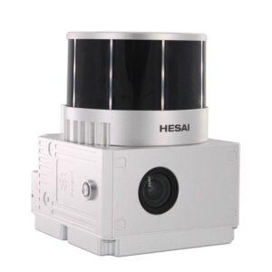
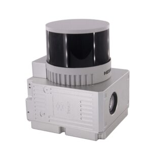
- Built-in 26MP RGB Camera: A high-resolution 26MP full-frame RGB camera is integrated into the system, capturing rich color information. This allows for the automatic coloring of the point cloud, creating visually realistic and highly informative 3D models.
- “One-Key” Workflow and Comprehensive Software: The system is designed for ease of use with a “one-key” workflow for quick start, data acquisition, and automatic pre-processing. It comes with dedicated POS software for trajectory processing and gAirHawk Post-processing software for advanced point cloud processing, classification, and output in standard formats like LAS and TXT.
- Versatile Applications: The GS-260H is a versatile solution applicable across numerous industries:
- Topographic Surveying and Mapping: Creating detailed digital elevation models and topographic maps.
- Infrastructure Inspection: Ideal for power line inspection, road surveys, and monitoring construction sites.
- Forestry: Vegetation monitoring, biomass estimation, and forest inventory.
- Smart City Development: Building accurate 3D models of urban environments for planning and management.
- Agriculture: Precision farming and land planning.
The Geosun GS-260H offers a powerful combination of compact design, high-density data capture, and integrated precision, making it an excellent choice for professionals seeking an efficient and accurate LiDAR solution for UAV-based mapping.


Reviews
There are no reviews yet.