- Easy 3D data capture with LiDAR
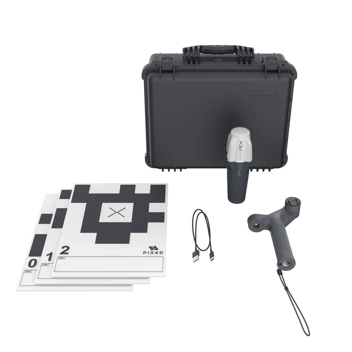
- GPS georeferencing
- Point measurement
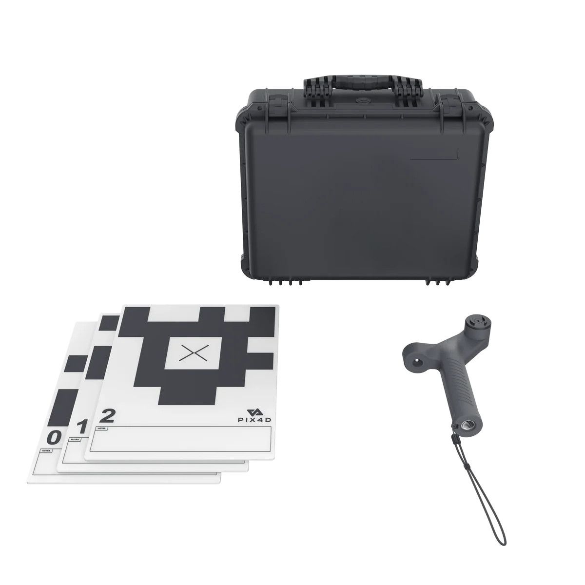
- Create GCPs and marks
- Automatic GCP and tie points detection with Pix4D Autotags
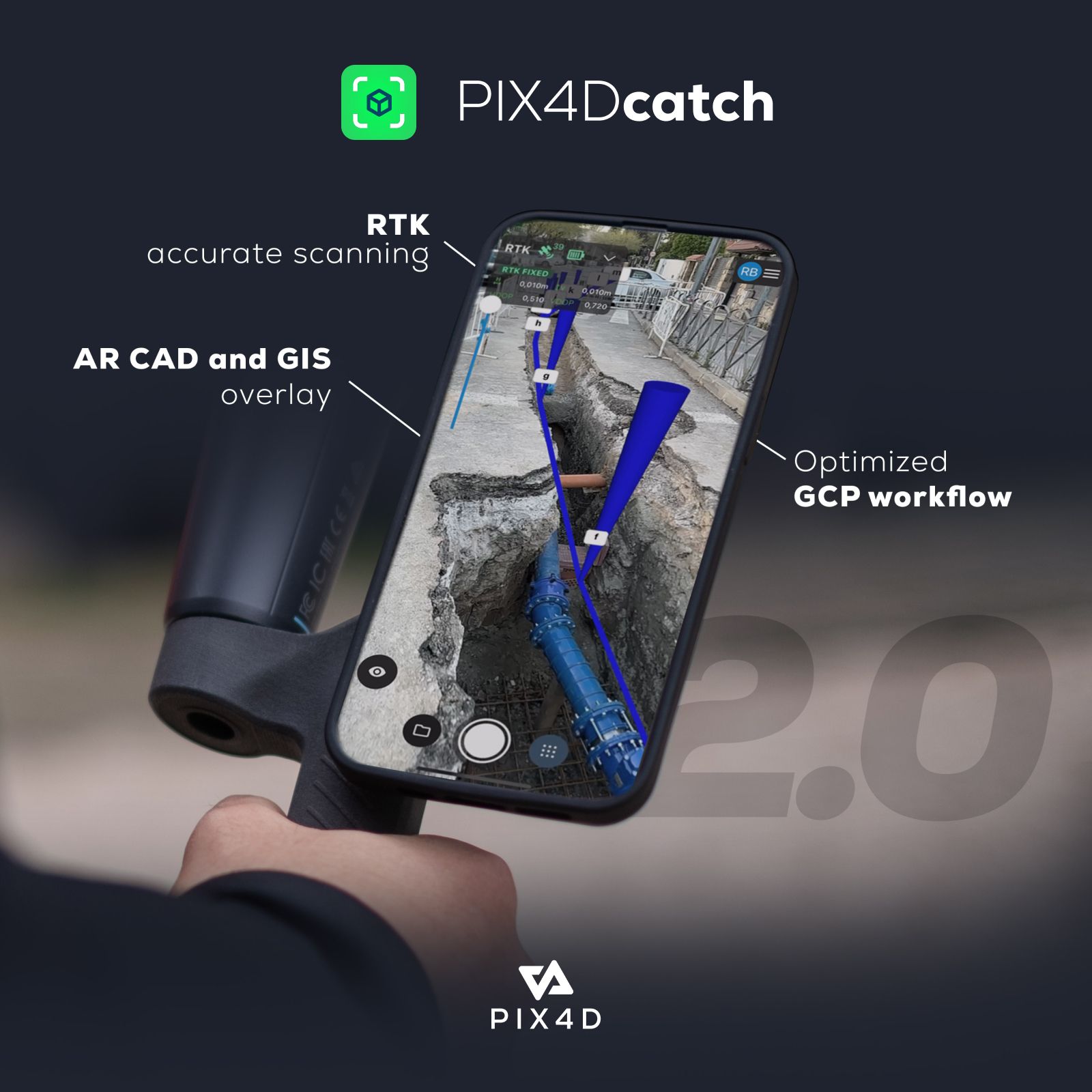
- Augmented reality features:
- AR Points
- Display projects in AR
Key Features
- Creates detailed 3D models: Using photogrammetry and LiDAR technology (on compatible devices), PIX4Dcatch can generate high-quality 3D models.
- Georeferencing: The app can create georeferenced 3D models, which means that the models are accurately positioned in the real world.
- Easy to use: PIX4Dcatch is designed to be easy to use, even for people with no prior experience with 3D modeling. Simply capture a series of images and the app will take care of the rest.
- Versatile processing options: You can process your captured data on either the PIX4Dcloud platform (with a 15-day free trial) or export it to the PIX4Dmatic desktop software for more advanced processing options.
- AR functionalities: PIX4Dcatch also includes some innovative augmented reality (AR) features that allow you to visualize your 3D models in the real world.
Overall, PIX4Dcatch is a powerful tool that can be used for a variety of applications, such as:
- Construction: Creating 3D models of buildings, sites, and infrastructure for documentation and planning purposes.
- Surveying: Capturing accurate measurements of objects and spaces.
- Cultural heritage preservation: Creating 3D models of historical sites and artifacts.
- Real estate: Creating virtual tours of properties.
If you’re looking for a way to easily create 3D models of your surroundings, PIX4Dcatch is a great option to consider.










Reviews
There are no reviews yet.