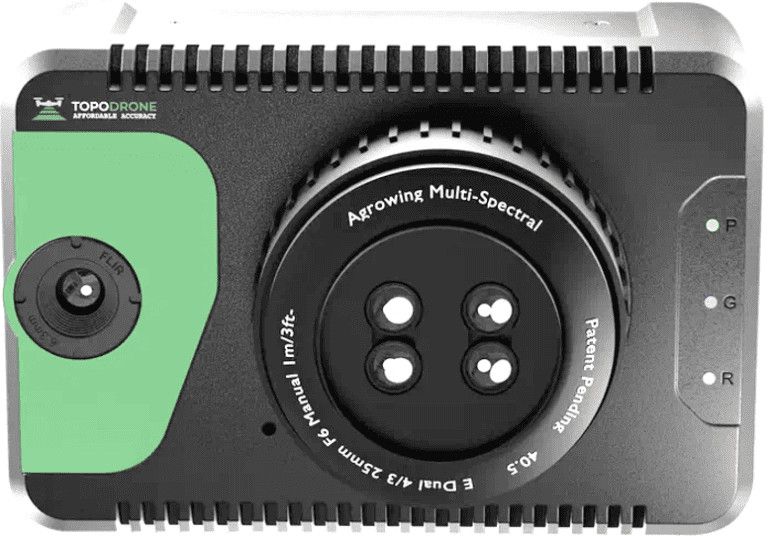
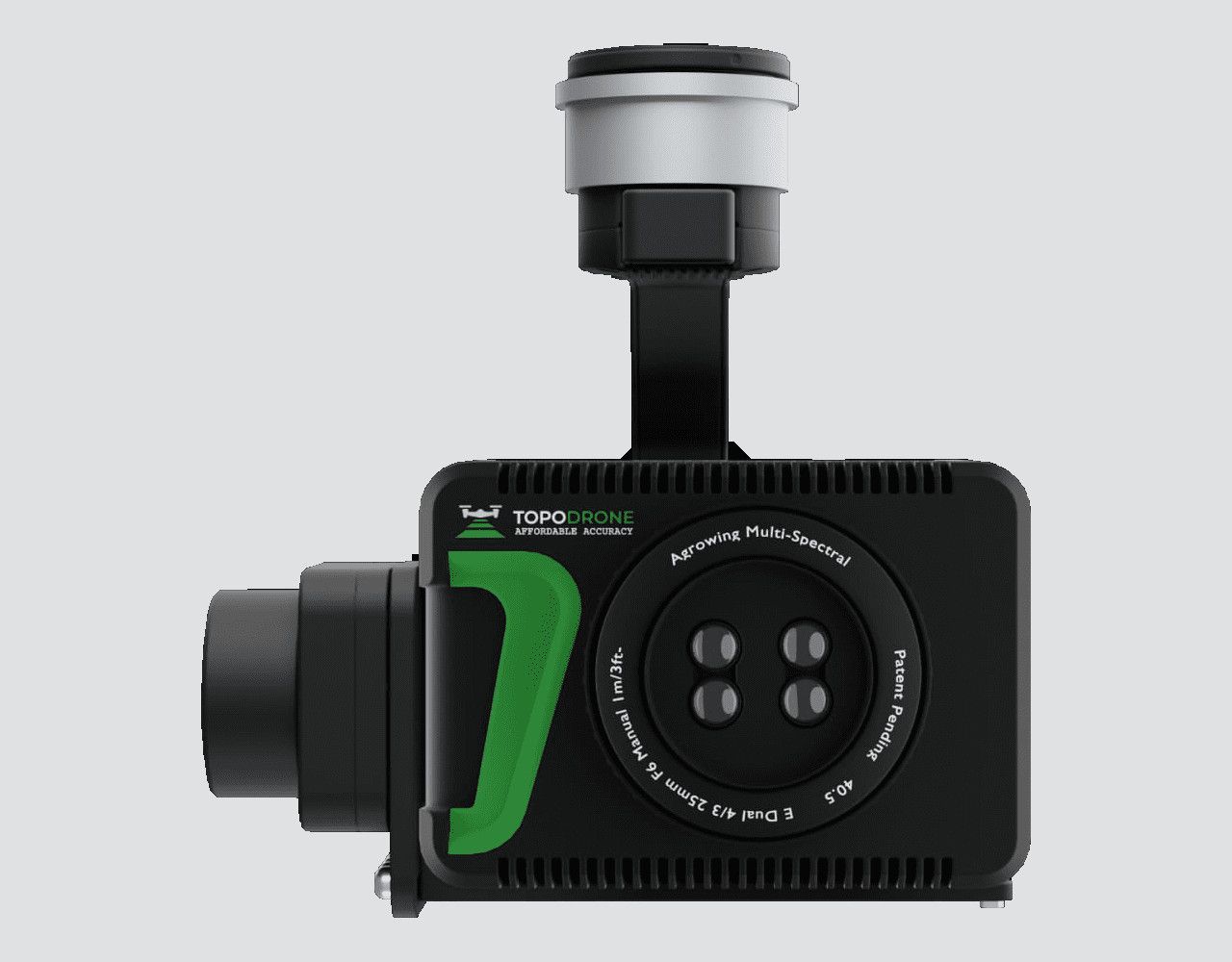
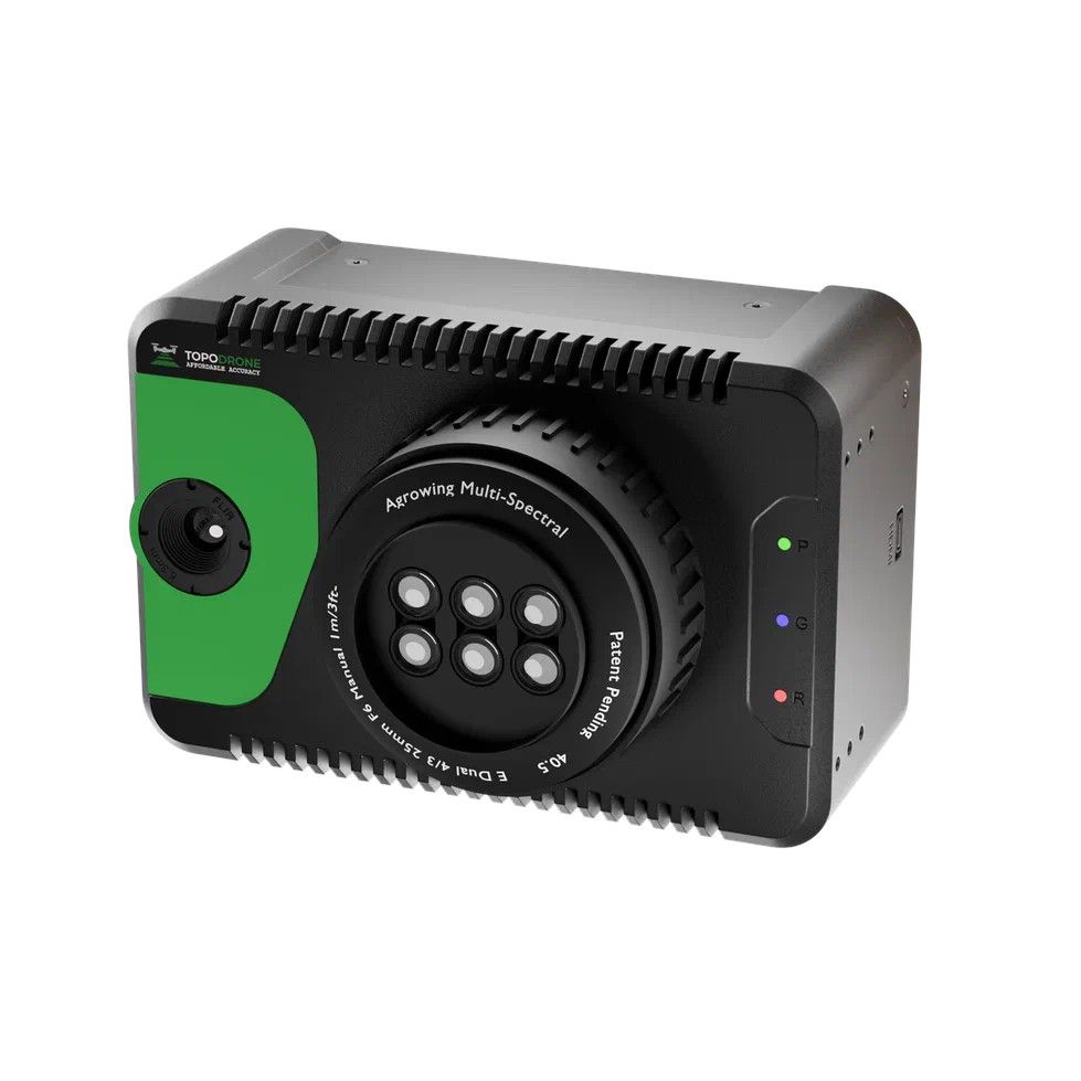
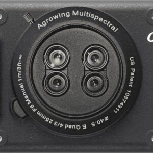
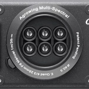
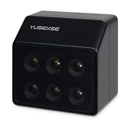
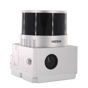
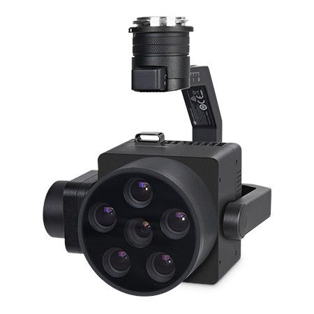
Equipped with state-of-the-art imaging technology, TOPODRONE 61 Sextuple+IR offers unparalleled accuracy and efficiency in capturing aerial imagery for applications such as land surveying, mapping, agriculture, environmental monitoring, and infrastructure inspection. The sextuple camera configuration ensures wide coverage and high-resolution imagery, while the IR capabilities enable thermal imaging for detecting anomalies and assessing thermal profiles of objects and landscapes.
This drone system is engineered for versatility and reliability, featuring advanced flight control systems and durable construction to withstand challenging operating environments. With its ability to capture multi-spectral and thermal data simultaneously, TOPODRONE 61 Sextuple+IR empowers professionals across various industries to gain valuable insights and make informed decisions based on comprehensive aerial intelligence.







Reviews
There are no reviews yet.