

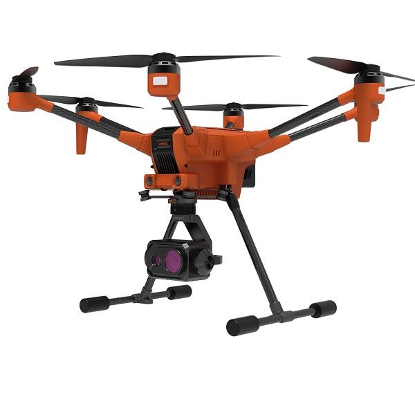
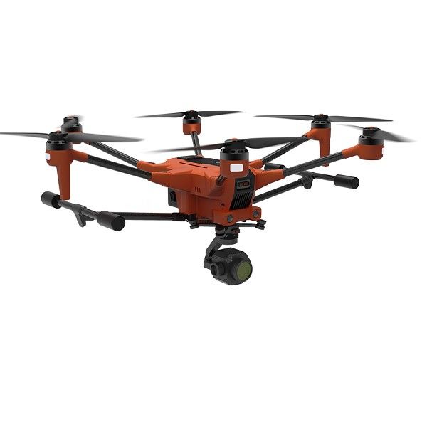
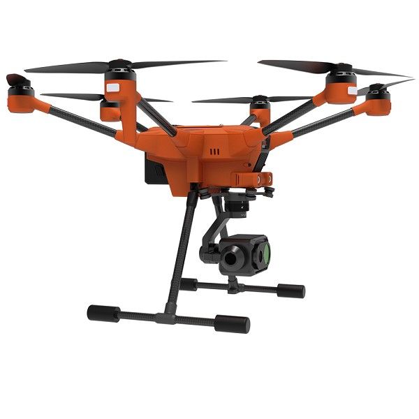
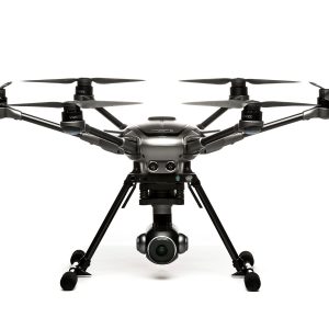
Key Features:
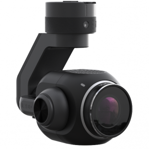
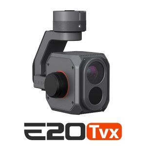
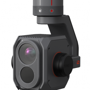
- Modular Design: Compatible with a wide range of payloads, including cameras, LiDAR sensors, and thermal imaging systems.
- RTK Positioning: Real-Time Kinematic positioning for accurate data collection and mapping.
- Long Flight Time: Up to 50 minutes of flight time for extended missions.
- IP44 Weather Resistance: Capable of operating in challenging weather conditions.
- Advanced Flight Modes: Autonomous flight modes for efficient data collection.
- T-One Ground Station: Intuitive remote control with large touchscreen display.
Specifications:
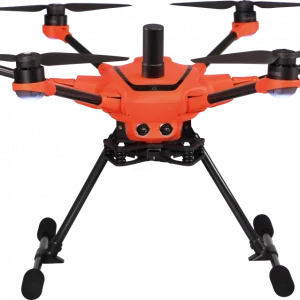
DRONE:
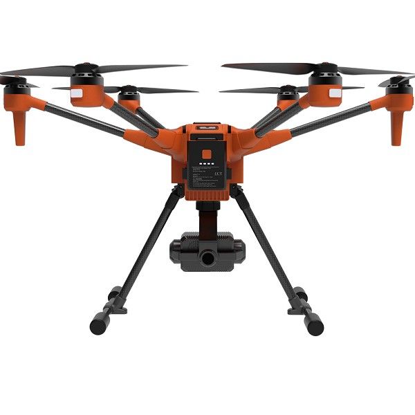
Number of Propellers: 6
Motor Shaft Distance: 610mm
Weight (With Gimbal Bracket, No Battery and Payload) 3.53lbs (1.6kg)
Reserved Expansion Interfaces:
– GPIO
– USB 3.0 Type A
– GMAC 1000MB
– Type-C Port
– PWM
– UART
– XT30 Power Supply Port
Max. Payload Weight: 2.20lbs (1kg)
Max. Take-off Weight: 8.16lbs (3.7kg)
Battery: Single Intelligent Battery
Battery Dimensions: 178×75×72mm
Battery Weight: 2.43lbs (1.1kg)
Battery Capacity: 9800mAh
Drone Unfolded Dimensions: 655×655×382mm
Drone Folded Dimensions: 263×342×382mm
Propellers Diameter: 293mm
Blade Pitch: 5.2 inches
Max. Flight Time: 50 minutes
Max. Remote Control Distance:
FCC: 9.32 miles (15km)
CE: 4.97 miles (8km)
Anti-Wind Capability: 29 mph (13m/s)
IP Rating: IP44
Max. Flight G-Speed:
Sport Mode: 42.5 mph (19m/s)
Angle Mode: 22.36 mph (10m/s)
Max. Flight Altitude: 4000m Above the MSL
Max. Ascend Speed: 11.18 mph (5m/s)
Max. Descent Speed: 8.95 mph (4m/s)
GNSS Positioning System:
All Band Supported Antenna, Optional RTK Module For High-Precision Navigation:
GPS + GLONASS + BeiDou + GALILEO
Or GPS+RTK Mode
(Dual GPS Navigation Antenna) (Optional)
Hovering Accuracy:
Vertical: ±0.5m (GPS)
±0.1m (RTK)
Horizon: ±1.5m(GPS)
±0.1m (RTK)
RTK Positioning Accuracy:
Vertical: 1.5cm + 1ppm
Horizon: 1cm + 1ppm
T-ONE GROUND STATION REMOTE:
Product Name: T-One
Screen Size: 7 inches
Remote Controller Dimensions: 209.6×201.6×109mm
Screen Resolution: 1920×1200
Max. screen brightness: 1000nits
Hardware:
Cortex-A72 + Cortex-A53
ROM 32GB + RAM 4GB
GPS + GLONASS
Battery Life Time:
100% Brightness: Approximate 5 hours
<80% Brightness: More than 7.5 hours
Weight: Less than 2.65 lbs (1.2kg)
Max. Remote Control Distance (At the Best Condition): = 9.32 miles (15km)
Channels: 16 Channels
Video Signal Channel: 2.4/5.8GHz OFDM
IP Rating: IP44
Video Output Port: HDMI
External Ports:
USB 2.0 / USB 3.0 / HDMI / Micro SD / Type-C
Battery Capacity: 7.6V 10000mAh (21700)
Operating Temperature Range: -4°F~122°F (-20°C~ 50°C)
INTELLIGENT BALANCING CHARGER:
Charger Dimensions: 150×87×65mm
Charging Capability: 1 Battery can be charged at a time
Screen: 0.96 inches Dual Color OLED Screen
Power Input: 90 – 264V AC
Operating Temperature Range: 14°F~122°F (-10°C~ 50°C)
Max. Power: 200W
IN THE BOX:
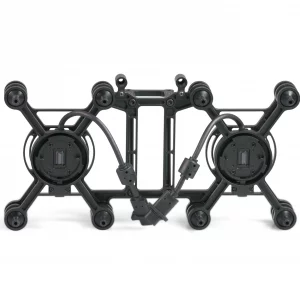
1 x Yuneec H600 Airframe
1 x T-One Remote Controller
5 x Clockwise A Propellers
5 x Counter-Clockwise B Propellers
1 x Neck Strap
1 x USB-C to USB-C Cable
1 x Intelligent Flight Battery
1 x Standard Charger
1 x User Manual
The Yuneec H600 is a versatile and powerful drone platform suitable for industries such as construction, agriculture, surveying, and public safety.


Reviews
There are no reviews yet.