Sensor:
- Full-frame sensor: This captures a much larger image area compared to smaller sensors, resulting in higher resolution photos and better low-light performance.
- 45 megapixel resolution: Enables capturing incredibly detailed images ideal for creating accurate maps and 3D models.
Lens:
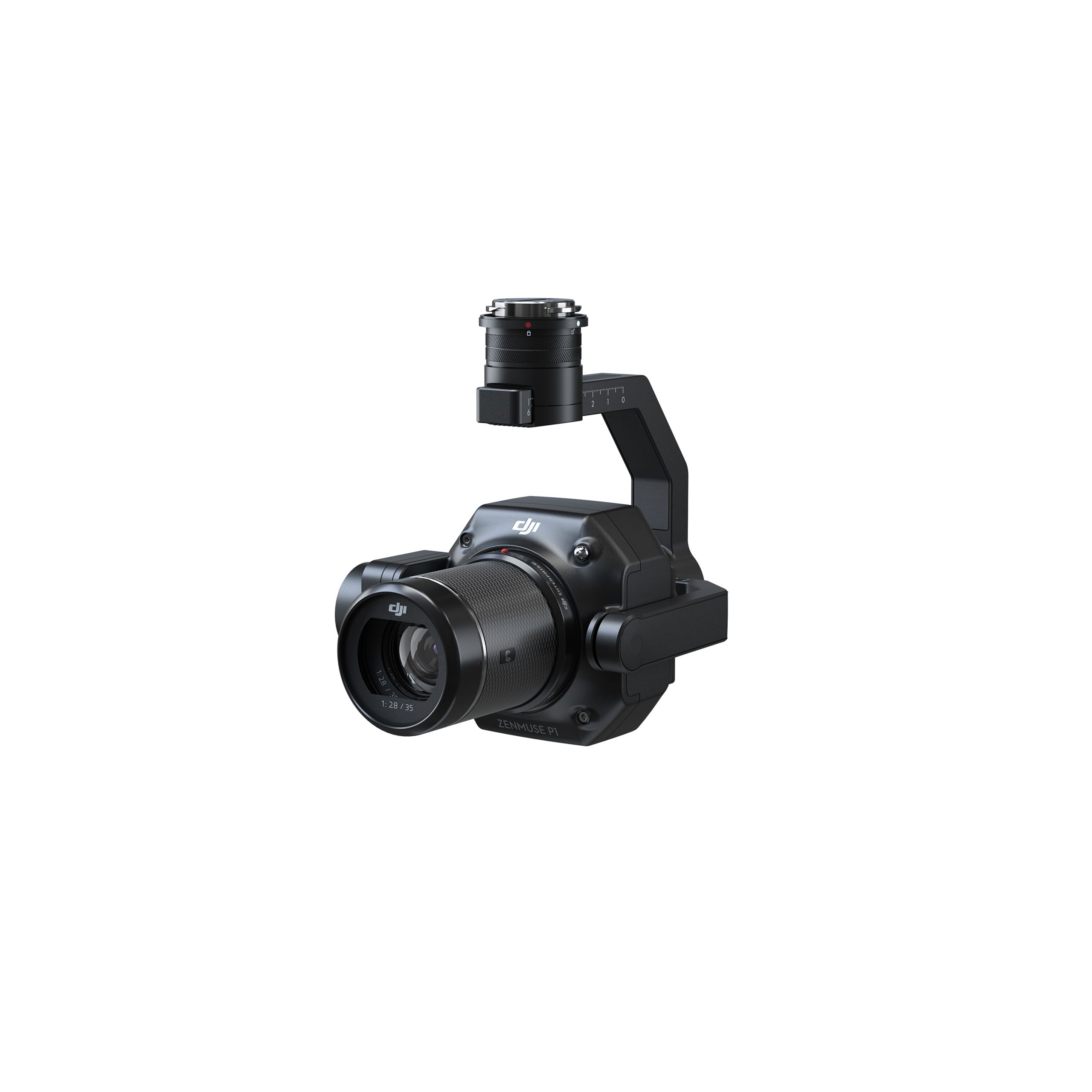
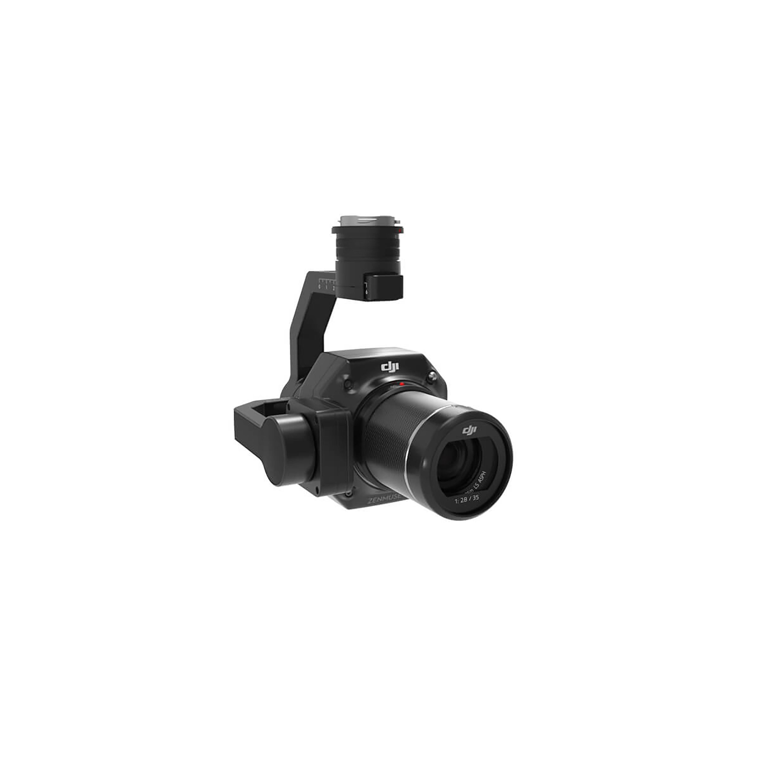
- Interchangeable fixed-focus lenses: The P1 allows swapping between different lenses to suit specific needs.
Gimbal:
- 3-axis stabilized gimbal: Ensures smooth and stable footage even during flight, crucial for capturing clear images for photogrammetry.
Accuracy:
- Achieves high accuracy without ground control points (GCPs) – GCPs are typically physical markers placed on the ground to improve the accuracy of photogrammetry results. The P1’s precision eliminates the need for them in many cases, saving time and resources.
- Stated horizontal accuracy: 3 cm (around 1.18 inches)
- Stated vertical accuracy: 5 cm (around 1.97 inches)
Efficiency:
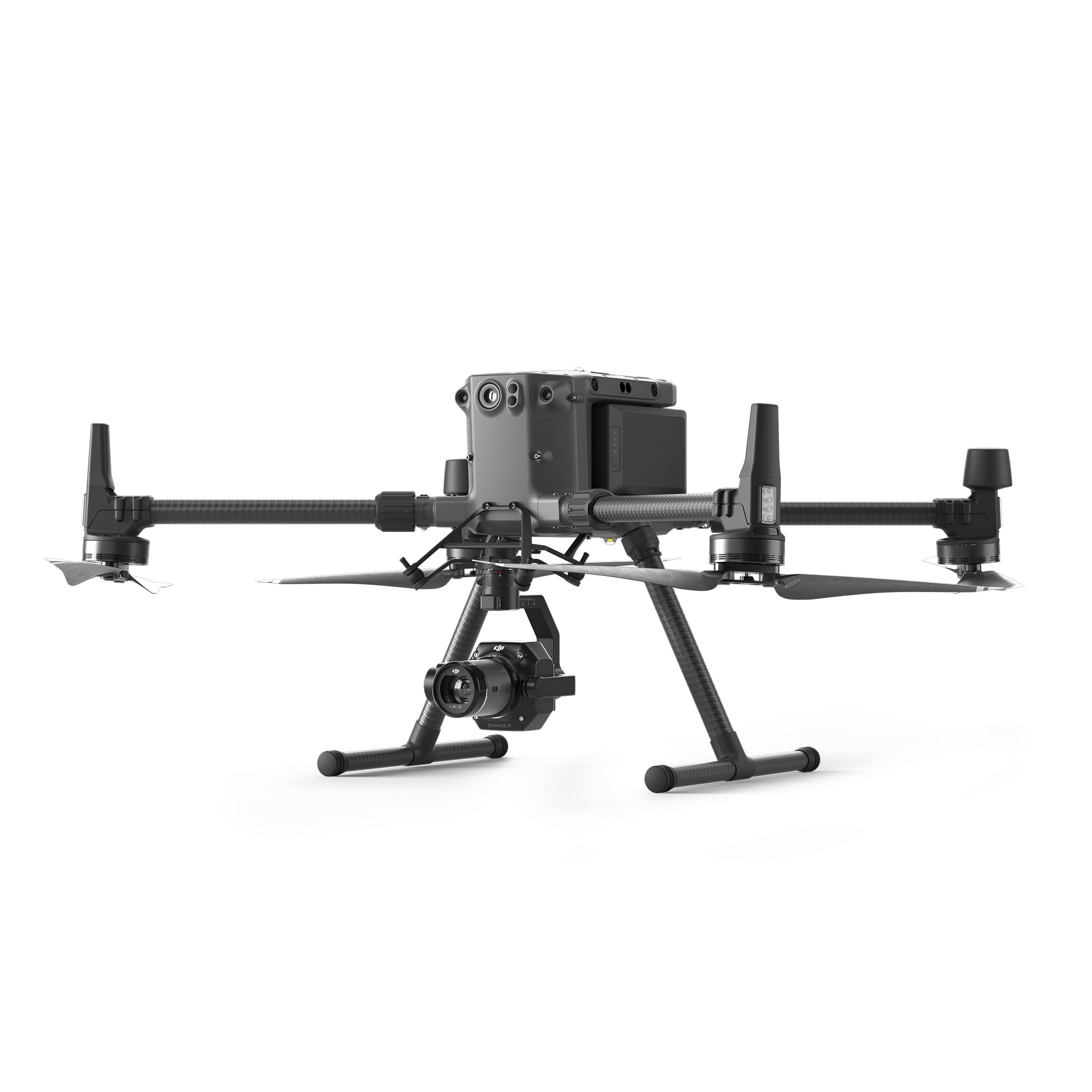
- Capable of covering large areas in a single flight: DJI claims it can cover 3 square kilometers (around 1.16 square miles) in one mission, making it efficient for surveying big terrains.
Other features:
- Mechanical global shutter: Reduces distortion and ensures sharp images, especially important for fast-moving objects.
- TimeSync 2.0: Synchronizes the time between the camera and other drone components at a microsecond level, improving the accuracy of captured data.
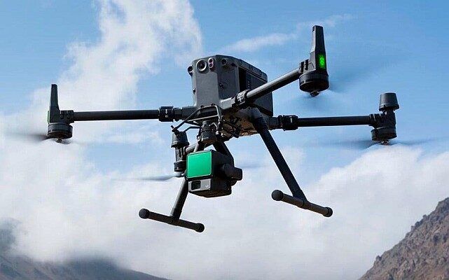
Overall, the DJI Zenmuse P1 is a powerful camera designed for professional applications that require high-resolution, accurate images for tasks like creating detailed maps and 3D models. Its full-frame sensor, interchangeable lenses, stabilized gimbal, and high-precision capabilities make it a standout choice for aerial surveying projects.







Reviews
There are no reviews yet.