


Key Features
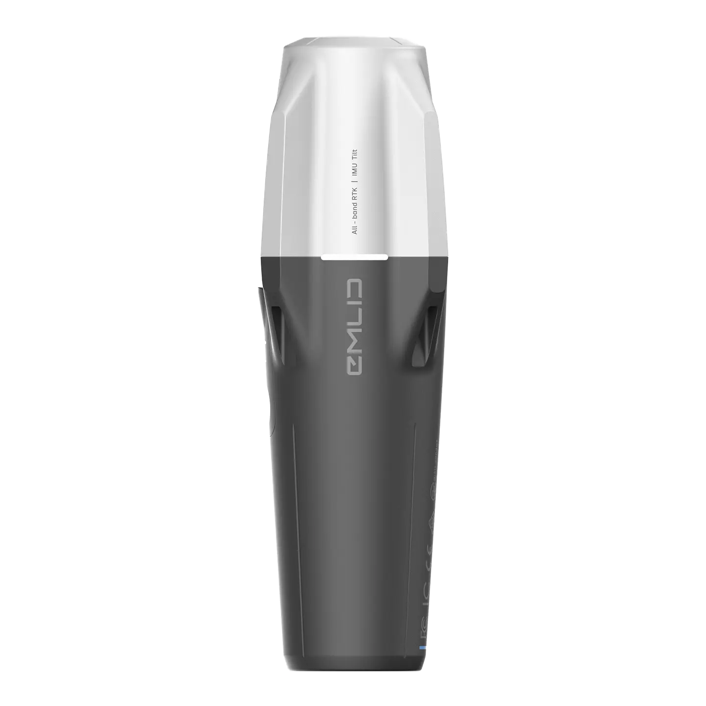
- IMU Tilt Compensation: Measure points accurately without needing to level the pole. Capture shots quickly near walls, slopes, or in tight spaces while maintaining RTK precision.
- Immunity to Magnetic Interference: The IMU does not rely on a magnetometer, ensuring stable, reliable measurements around steel structures and vehicles.
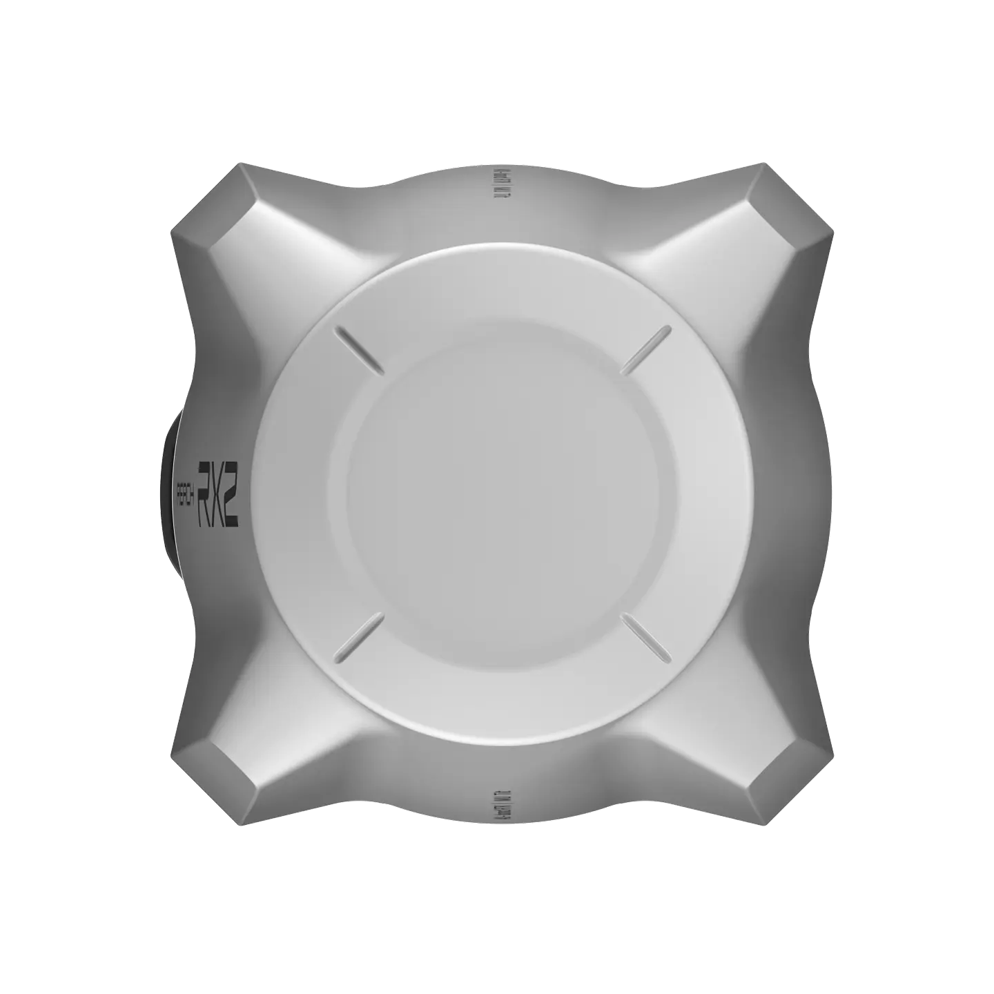
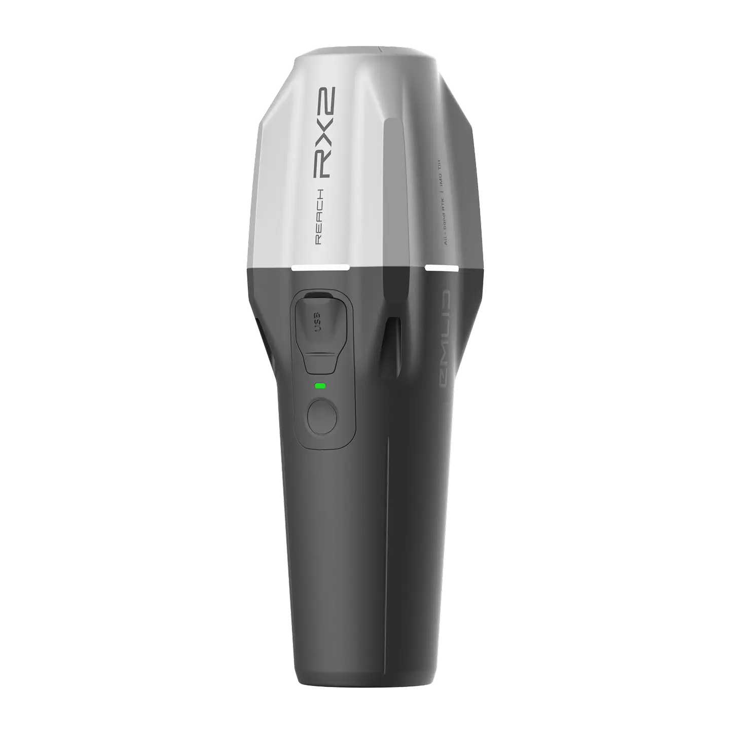
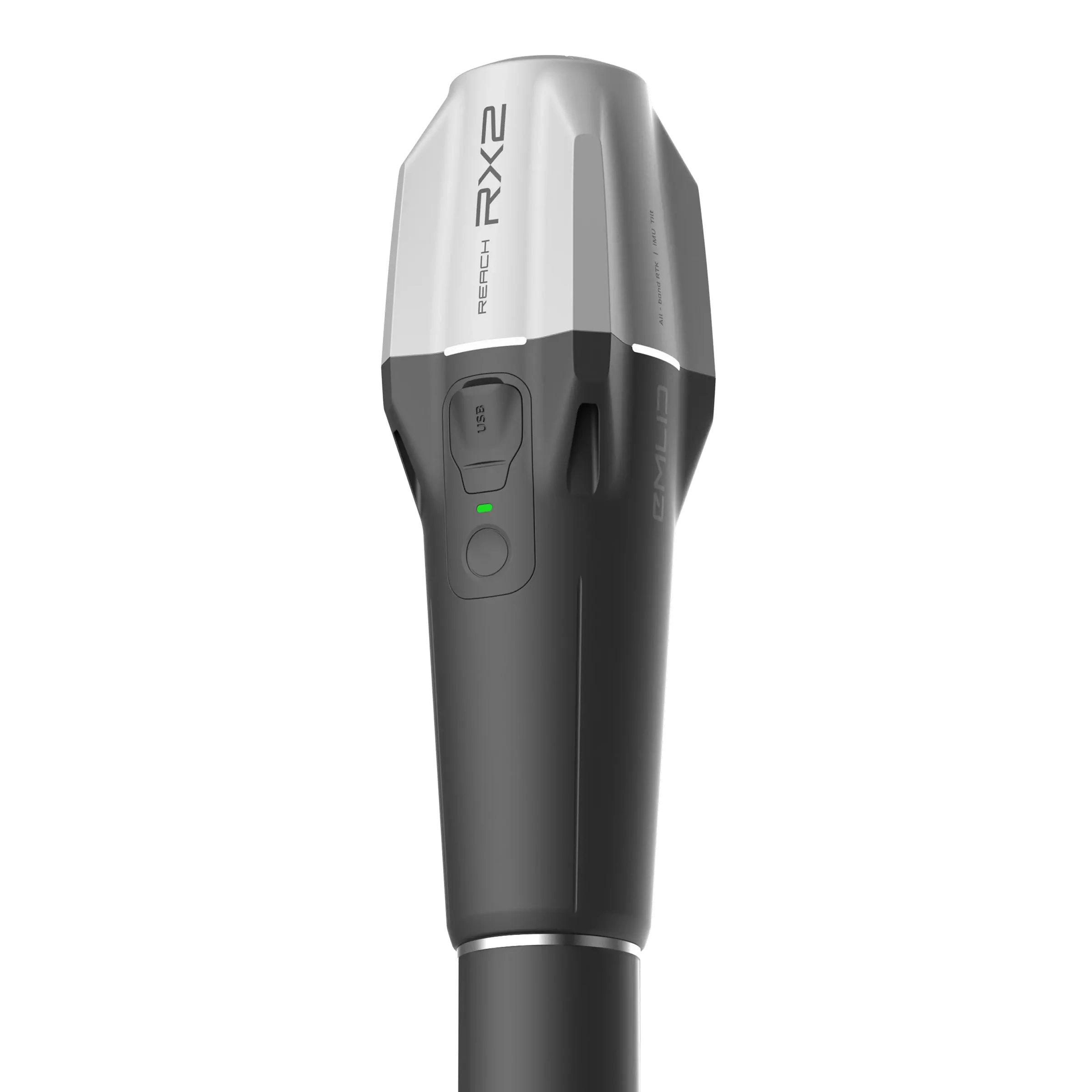
- No User Calibration: Factory-calibrated, the RX2 is ready to survey after a fast, simple initialization on-site.
- All-Band GNSS Engine: With 672 channels, the RX2 tracks all major satellite constellations (GPS, GLONASS, Galileo, BeiDou, QZSS, and NavIC), providing a fast, stable, and reliable fix even in challenging environments like under canopy or in urban areas.
- Pure NTRIP Simplicity: Designed to be the ultimate network rover, it connects to any CORS or NTRIP correction service via your smartphone’s internet connection using the RTCM3 format. No base station setup, no radio modems, just connect and collect.
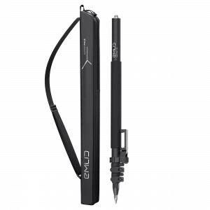
- Pocket-Sized and Lightweight: Weighing only 280 g (0.62 lb), its compact, slim profile fits easily into a pocket or glove compartment, making it the most agile tool for data collection.
- Rugged and Reliable: Built for real-world use with an IP68 ingress protection rating, making it dust-proof and water-resistant (submersible up to for ).
- All-Day Battery Life: Get up to 16 hours of operation on a single charge from its high-capacity battery, which recharges quickly via USB-C.
- Seamless App Integration: Works flawlessly with the Emlid Flow mobile app for easy configuration, data collection, and cloud syncing. It also integrates seamlessly with popular GIS apps like ArcGIS Field Maps, Survey123, QField, and supports high-accuracy terrestrial scanning with apps like PIX4Dcatch.
Technical Specifications
-
Mechanical
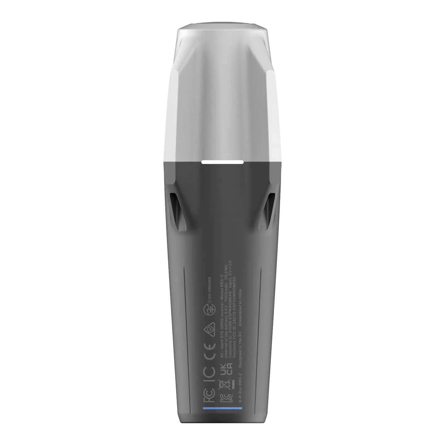
Dimensions: 172 x 51 x 51 mm (6.77 x 2.00 x 2.00 in)
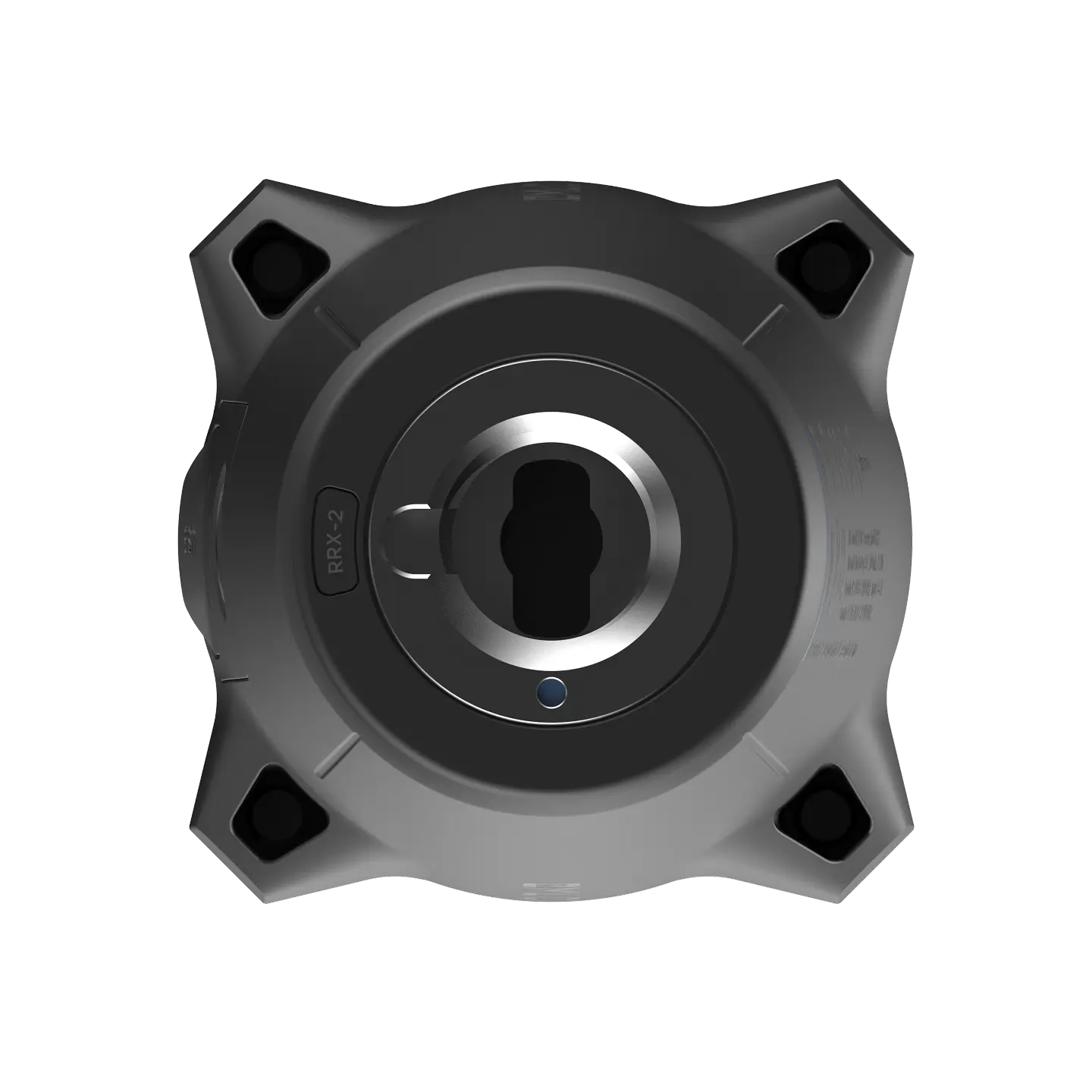
Mount: 5/8”-11 UNC and quick release
Weight: 280 g (0.62 lb)
Operating tº: -20 to +65 °C (-4 to 149 °F)
Ingress protection: IP68 (maximum depth of 1.5 meters up to 30 minutes)
-
Electrical
Autonomy: Up to 16 hrs
Battery: Li-Ion 7000 mAh, 3.6 V, 25.2 Wh
Charging: USB Type-C 5 V 2 A
Certification: FCC, CE, IC, MFi
-
Positioning
RTK: H: 7 mm + 1 ppm | V: 14 mm + 1 ppm
Tilt: RTK + 2 mm + 0.3 mm/°
Convergence time: ~5 s typically
-
Connectivity
Communication interface: Bluetooth 4.2 (BR/EDR + LE)
Ports: USB Type-C port
-
Data
Input data format: RTCM3
Input data protocol: NTRIP
Position data format: NMEA
-
GNSS
Signal tracked: GPS: L1C/A, L2C, L5
GLONASS: L1OF, L2OF
Galileo: E1-B/C, E5a, E6
BeiDou: B1I, B1C, B2a, B3I
QZSS: L1C/A, L1C/B11, L2C, L5
NavIC: L1-SPS Data, L5-SPSNumber of channels: 672
Update rates: 5 Hz
In the box
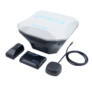
- Reach RX2
- USB Type-C cable


Reviews
There are no reviews yet.