

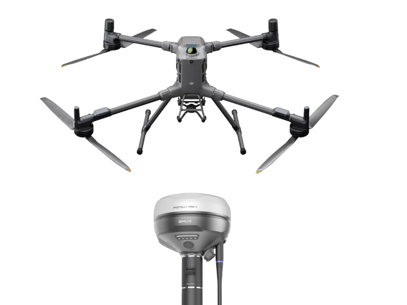
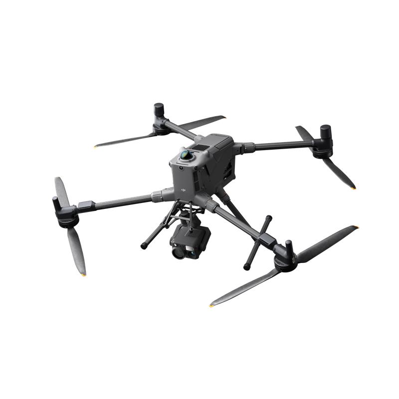

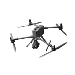


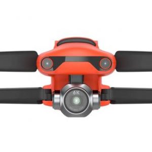
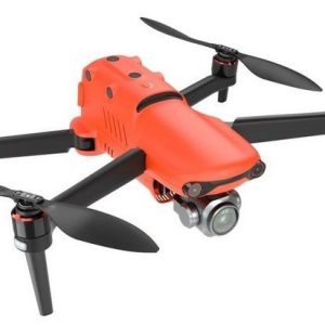
DJI Matrice 400 Worry-Free Plus Combo: The Flagship Flight Platform
The M400 is an evolution of the industrial drone platform, engineered for versatility, intelligence, and extreme endurance.1 The Worry-Free Plus Combo ensures maximum uptime and peace of mind.
- Long-Range, All-Weather Performance: Achieve a maximum flight time of up to 59 minutes (with the H30T payload) and operate reliably in harsh conditions thanks to the IP55 rating and broad operating temperature range (-20ºC to 50ºC).
- Supreme Safety & Obstacle Sensing: Fly with confidence using Power-Line-Level Obstacle Sensing. A fusion of rotating LiDAR, mmWave radar, and omnidirectional vision sensors detects thin wires and obstacles, even in complex, low-light, or mountainous terrain.
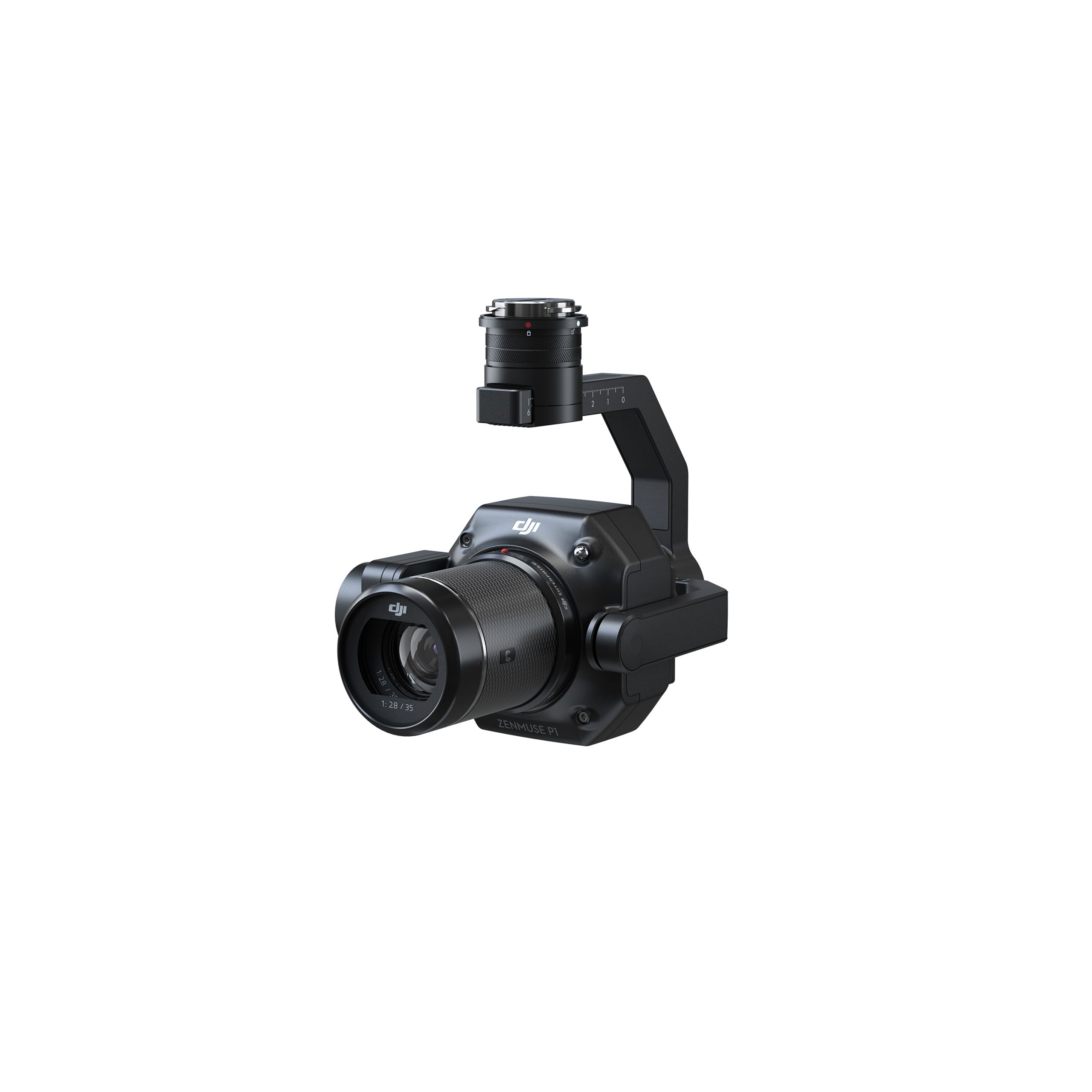
- Massive Payload Versatility: With a maximum payload capacity of 6 kg and support for up to seven simultaneous payloads (via E-Port V2), the M400 is compatible with DJI’s most advanced sensors, including Zenmuse L2 (LiDAR), H30 Series (Thermal/Zoom), and P1 (Photogrammetry), adapting to any task.
- Advanced Intelligence & Automation: Streamline your workflow with features like Real-Time Terrain Follow, Smart AR Projection of waypoints and power lines, and automated mission planning (Geometric and Slope Route) via FlightHub 2.
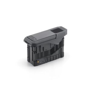
- Worry-Free Protection: The Combo includes a 1-Year Auto-Activated DJI Plus Care Plan, providing repair support and further ensuring the longevity of your investment.
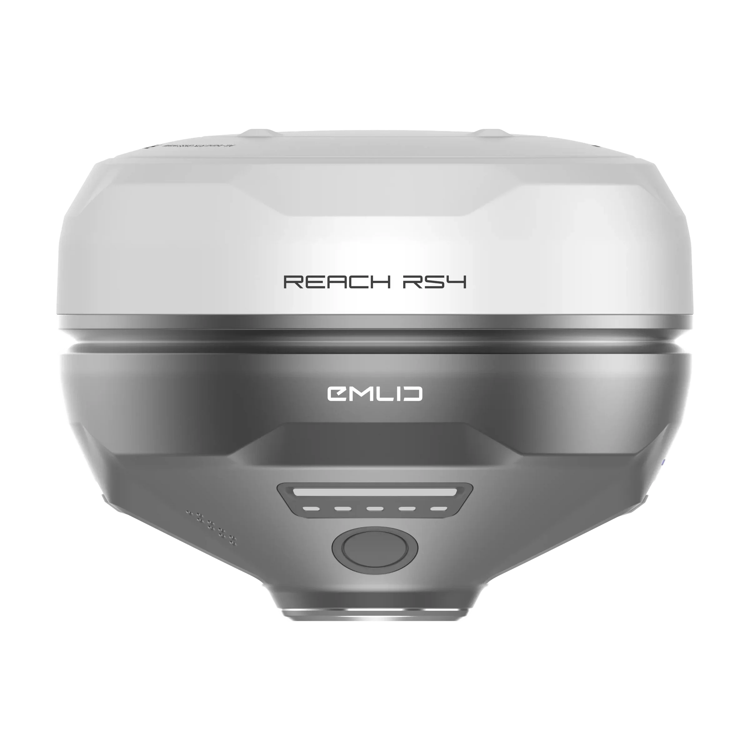
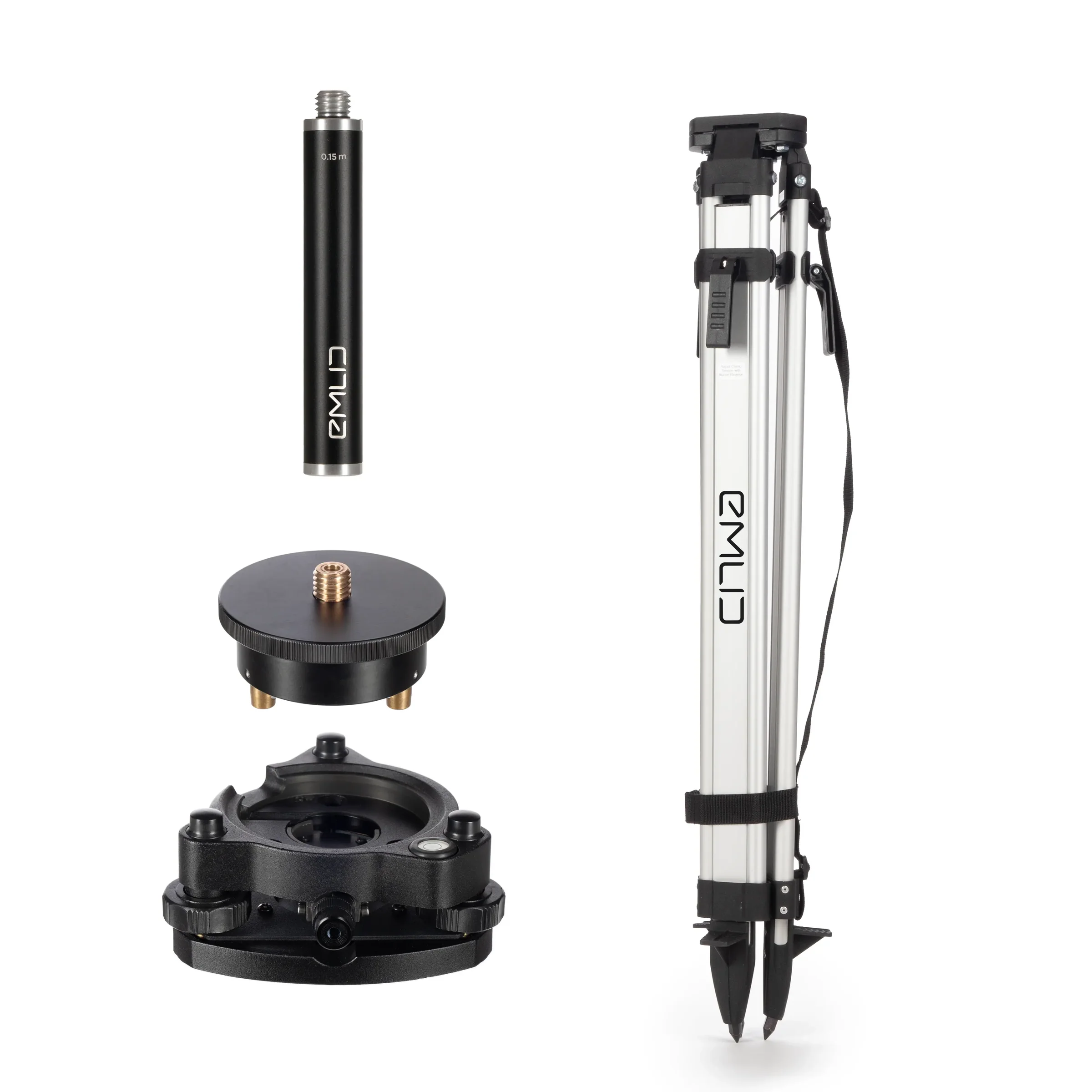
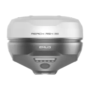
Emlid RS4 Base Kit: Survey-Grade GNSS Accuracy
The Emlid RS4 is a rugged, all-band GNSS receiver designed to provide the static, high-accuracy ground reference (Base Station) essential for professional aerial mapping.
- Centimeter-Level Precision: Achieve exceptional positioning accuracy with an RTK horizontal precision of 7mm + 1ppm. The RS4 tracks all major satellite constellations (GPS, GLONASS, Galileo, BeiDou, etc.) on multiple frequencies.
- Robust Correction Source: The Base Kit is set up to record raw GNSS data for Post-Processing Kinematic (PPK) workflows or transmit real-time corrections via NTRIP over the internet or via its powerful dual-band radio (UHF/LoRa)
- Built for the Field: With a durable magnesium alloy body, an IP68 ingress protection rating, and a wide operating temperature (-40ºC to 65ºC), the RS4 is designed for extended deployment in the toughest environments.
- All-Day Endurance: The internal Li-Ion battery provides up to 16 hours of autonomy, ensuring a full day’s worth of reference data collection.
The Synergistic Workflow: Drone Mapping Redefined
This combination creates the ultimate RTK/PPK drone mapping setup. The M400, when equipped with a mapping payload like the Zenmuse P1 or L2, receives highly accurate positional data, either in real-time (RTK) or via post-processing (PPK) using the Emlid RS4 Base Station’s stationary, highly-accurate log file.
This professional-grade synergy is ideal for:
- High-Accuracy Topographic Surveying & Mapping
- Precision Infrastructure Inspection (Power Lines, Bridges)
- Detailed 3D Modeling and Volumetric Calculations
- Construction Site Monitoring and As-Built Verification
Equip your team with the leading solution for precision aerial data acquisition. The M400’s enterprise-grade reliability, combined with the RS4’s survey-grade accuracy, ensures unparalleled results on every mission.


Reviews
There are no reviews yet.