Advanced functionalities:
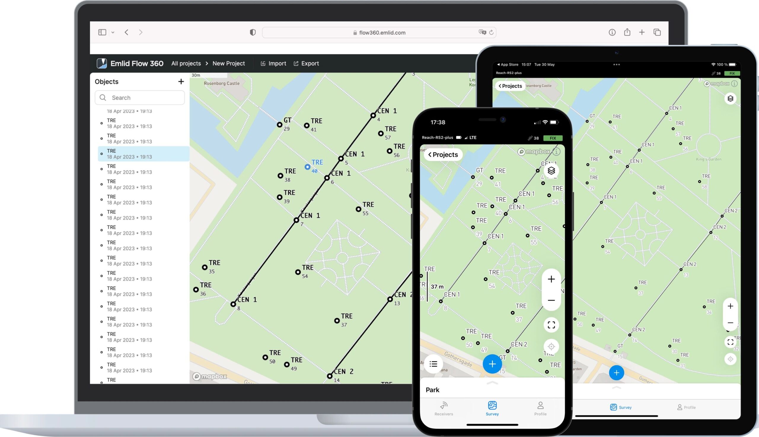
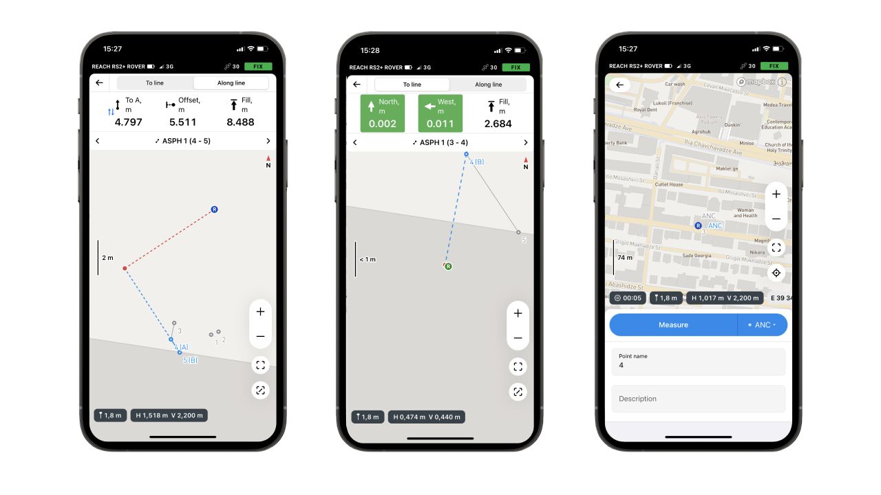
- Collect and stake out points with detailed descriptions: This goes beyond simply capturing a point. You can add descriptions to provide context for each data point.
- Work with different coordinate systems: The plan allows you to handle various coordinate systems, crucial for accurate land surveying projects.
- Coding survey data: Assign codes to your data points to categorize and organize them efficiently.
- Collect and stake out lines: This enables you to define linear features on your survey map, like boundaries or roads.
- Manage code libraries: Create and manage custom code libraries for streamlined data categorization in your projects.
Who should get this plan:
The Emlid Flow Survey Plan is ideal for professional surveyors or individuals who require more than basic data collection for their surveying projects. It provides the tools to collect, manage, and organize complex surveying data effectively.
Additional points to consider:
- The Emlid Flow Survey Plan is a paid subscription service, typically offered annually.
- If you only need to collect basic points for tasks like placing Ground Control Points (GCPs), the free Standard plan might suffice.





Reviews
There are no reviews yet.