


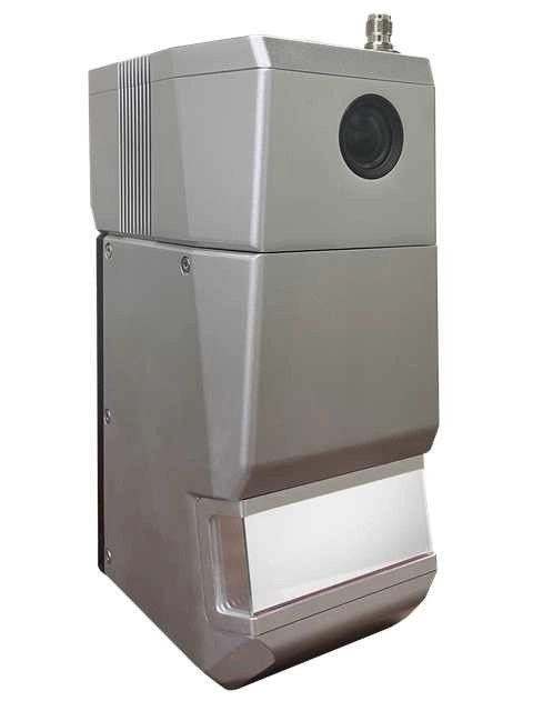
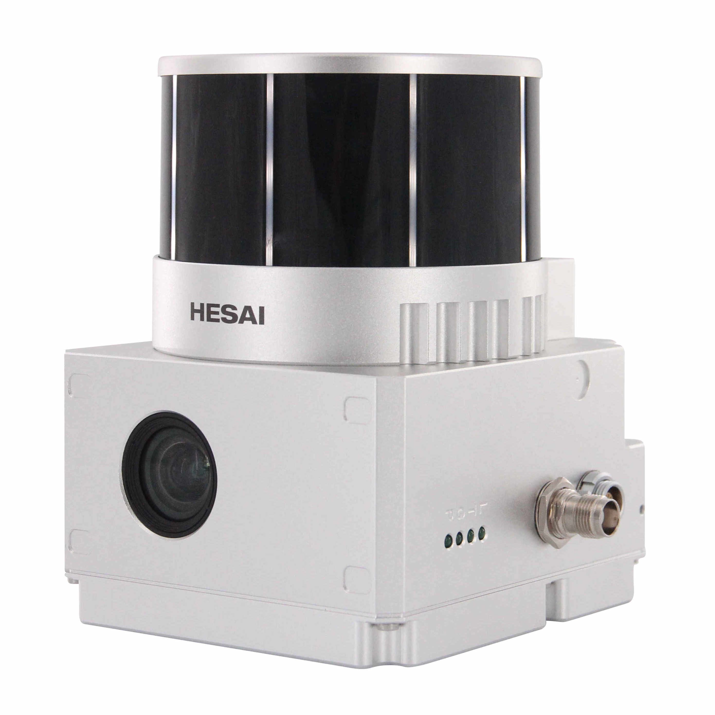
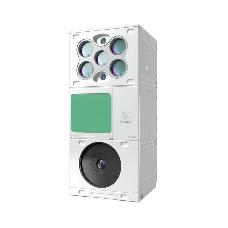
Geosun gAirHawk Series GS-130X UAV LiDAR Scanning System
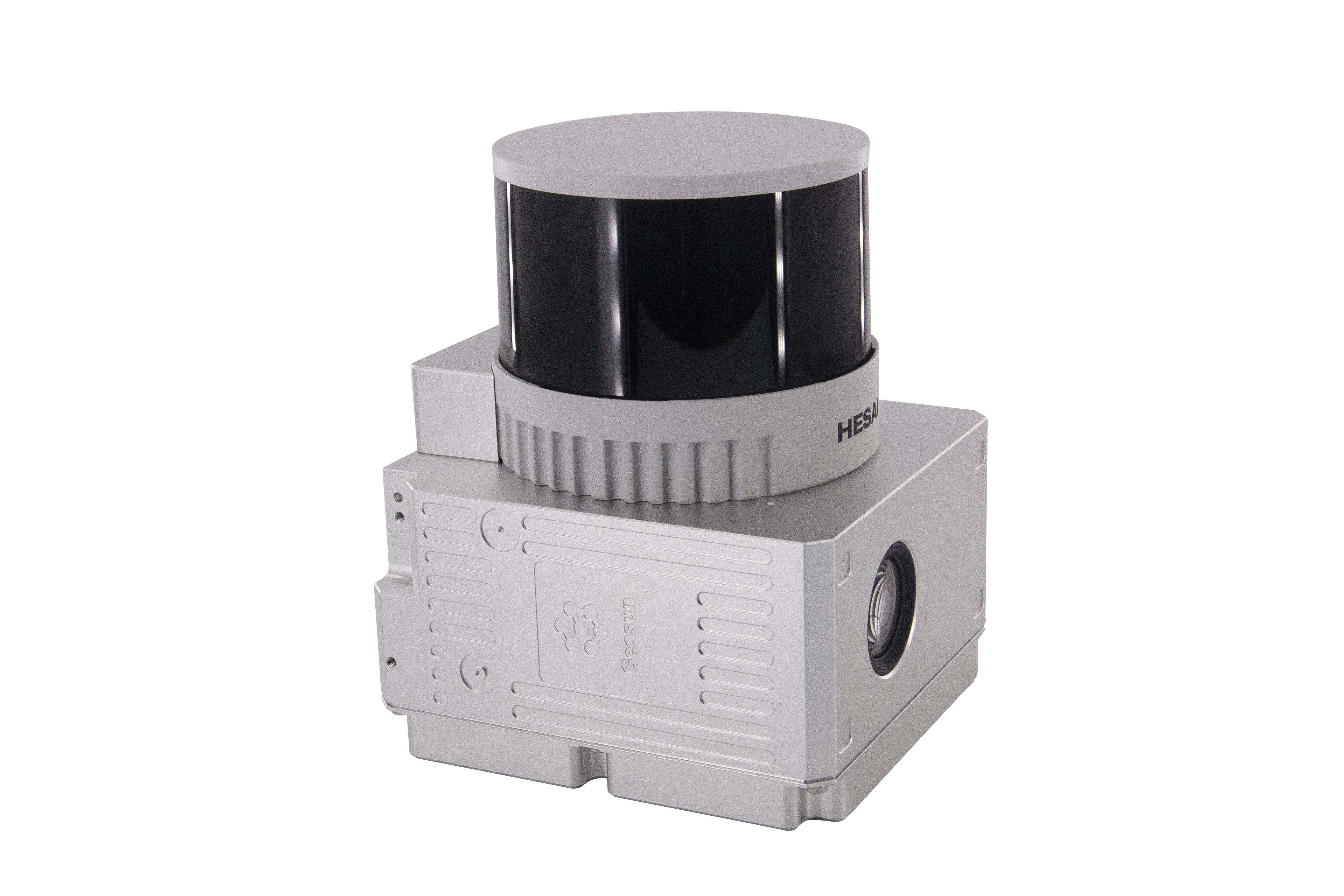
Drone LiDAR Scanning System GS-130X integrates Hesai XT32 laser sensor and all built-in units to create a futuristic look for your diversified LiDAR solution services.Stands out with strong penetration and small beam divergence in same uav lidar scanning system class to deliver a better performance in any vegetation areas.
Specification
|
|||||||||||||||||||||||||||||||||||||||||||||||||||||||||||||||||
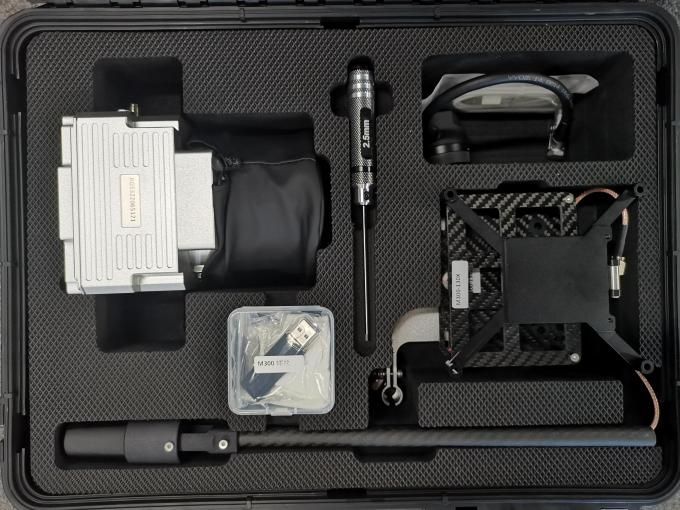
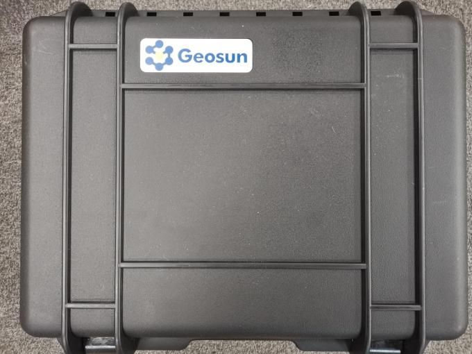
Package
GS-130X UAV LiDAR Scanning System is packed by suit case with EVA material liner inside, then covered by hard carton box.
The package of UAV LiDAR Scanning System is suitable for air shipment and sea shipment.
POS Versions Specifications
| POS Unit 301 | Update frequency | 200HZ |
| Heading accuracy | 0.080° | |
| Pitch accuracy | 0.025° | |
| Rolling accuracy | 0.025° | |
| Position accuracy | ≤0.05m | |
| GNSS signal type | GPSL1/L2 GLONASSL1/L2 BDS B1/B2a/B3 | |
| GNSS Motherboard | Unicorecomm | |
| POS Type | AGS 301 |
| POS Unit 302 | Update frequency | 200HZ |
| Heading accuracy | 0.040° | |
| Pitch accuracy | 0.015° | |
| Rolling accuracy | 0.015° | |
| Position accuracy | ≤0.05m | |
| GNSS signal type | GPSL1/L2 GLONASSL1/L2 BDS B1/B2a/B3 | |
| GNSS Motherboard | OEM 719 | |
| POS Type | AGS 302 |
| POS Unit 303 | Update frequency | 200HZ |
| Heading accuracy | 0.017° | |
| Pitch accuracy | 0.005° | |
| Rolling accuracy | 0.005° | |
| Position accuracy | ≤0.05m | |
| GNSS signal type | GPSL1/L2 GLONASSL1/L2 BDS B1/B2a/B3 | |
| GNSS Motherboard | OEM 719 | |
| POS Type | AGS 303 |


Reviews
There are no reviews yet.