

LiDAR Scanning System Application for 3D Surveying and Mapping
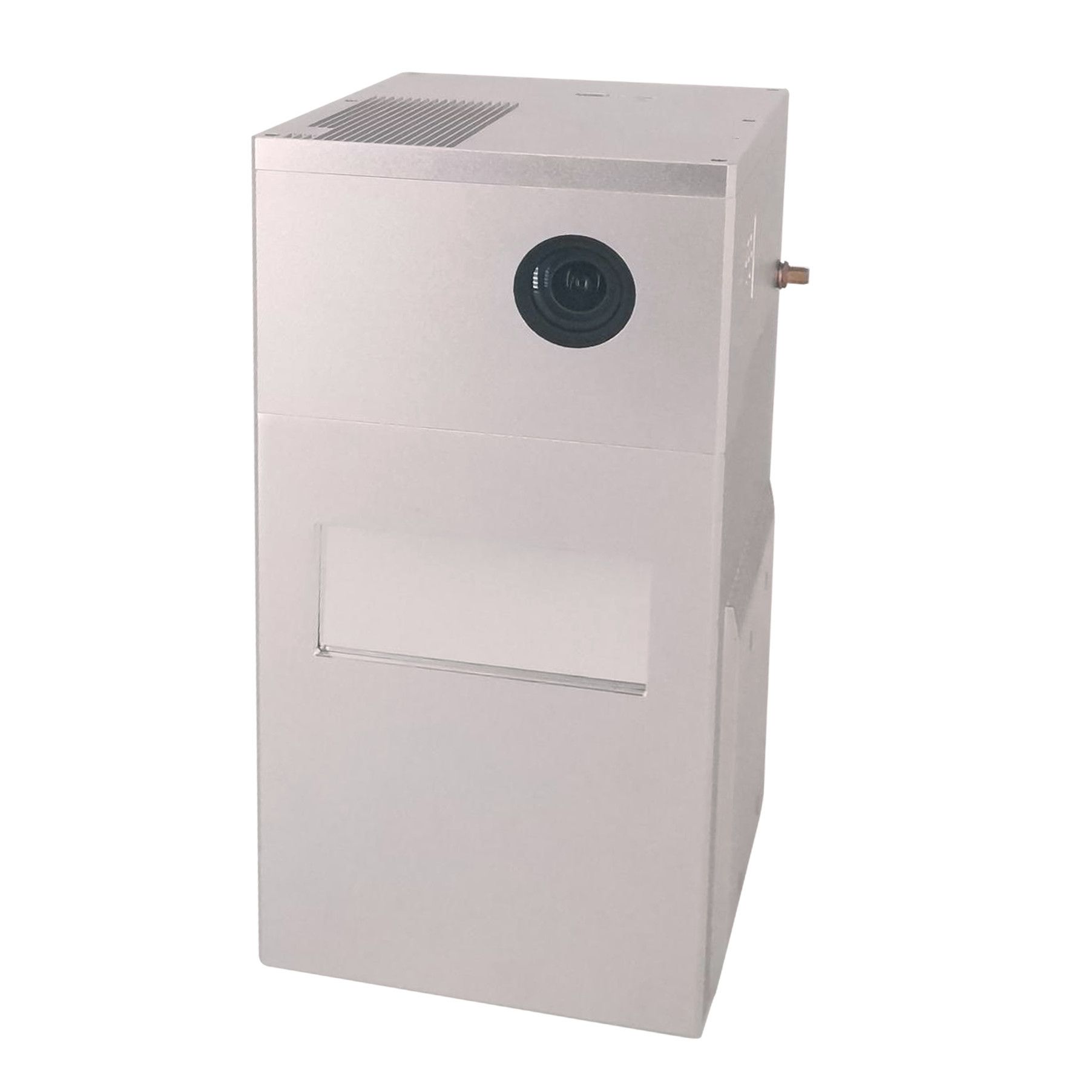
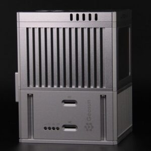
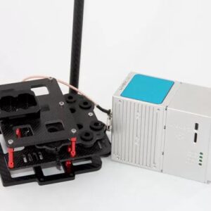
GS-100E is a UAV measurement system independently developed by Geosun Navigation. It highly integrates laser scanner, GNSS satellite positioning system, INS inertial navigation system and multispectral camera, to meet the needs of different industries such as agricultural condition monitoring, water-saving irrigation, resource survey, agricultural condition monitoring, river ecology, disaster level monitoring, target identification, aerial work, regional mapping, etc., especially in the field of agricultural surveys.
Specification
| Item Name | System Parameters | |
| GS-100E | Weight | ~1.75kg |
| Working Temperature | -20-+55° | |
| Power Range | 12 V- 15 V | |
| Consumption | Average 20 W | |
| Carrier | DJI M600 PRO, M300 and other brand | |
| Storage | 64 GB storage, maximum support 128GB TF card | |
| Lidar Unit | Measure Range | 190m@10% Reflectivity, 260m@20% Reflectivity, 450m@80% Reflectivity |
| Laser Class | 905nm Class1 (IEC 60825-1:2014) | |
| Laser Line Number | Equivalent to 64-beam | |
| Range Precision | 2 cm | |
| Data | Triple echo, 720,000 Points/Sec | |
| FOV | 70° the circular view | |
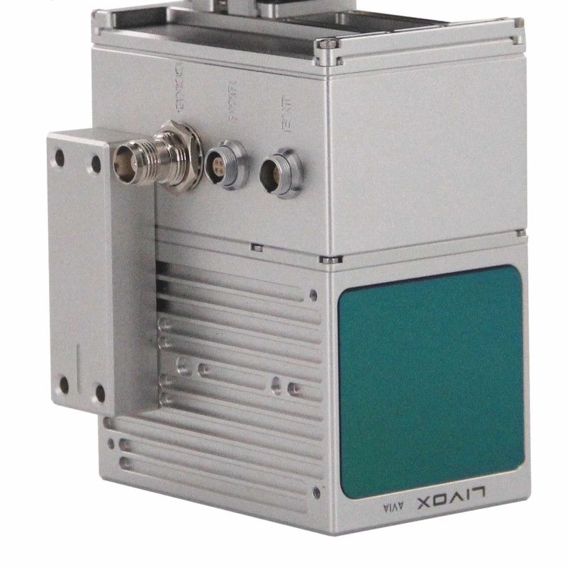
| Laser Model | Livox Avia | |
| Pos Unit | POS Type | AGS 302 |
| Update Frequency | 200HZ | |
| Heading Accuracy | 0.040° | |
| Pitch Accuracy | 0.015° | |
| Rolling Accuracy | 0.015° | |
| Position Accuracy | 0.02 – 0.05m | |
| GNSS Signal Type | GPSL1/L2/L5 GLONASSL1/L2 BDS B1/B2/B3 GAL E1/E5a/5b | |
| Pre-processing software | POS Software | Output information: position, speed, attitude |
| Point Cloud Software | Output point cloud data format: LAS format, custom TXT format | |
| Multispectral Camera | FOV | HFOV 48° VFOV 37° |
| NIR FOV | HFOV 57° VFOV 44° | |
| Focal Length(mm) | 5.2 | |
| Resolution | 2064*1544 | |
| NIR Resolution | 160*120 | |
| Ground Pixel Resolution | GSD: 5.2 cm/pix, AGL:120 M |


Reviews
There are no reviews yet.