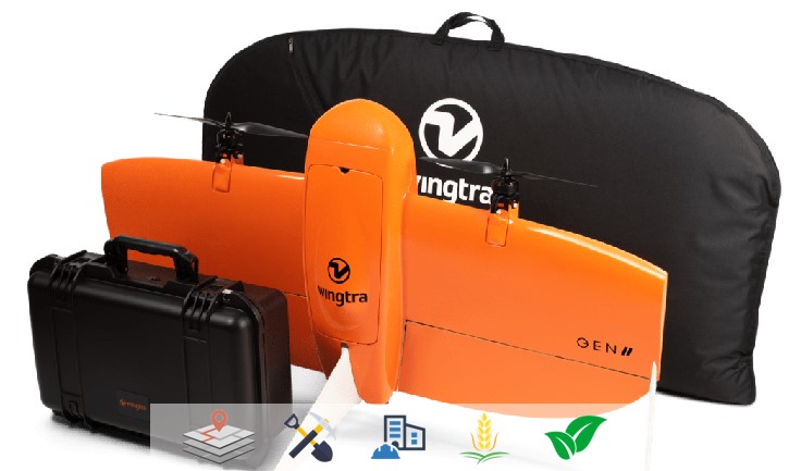
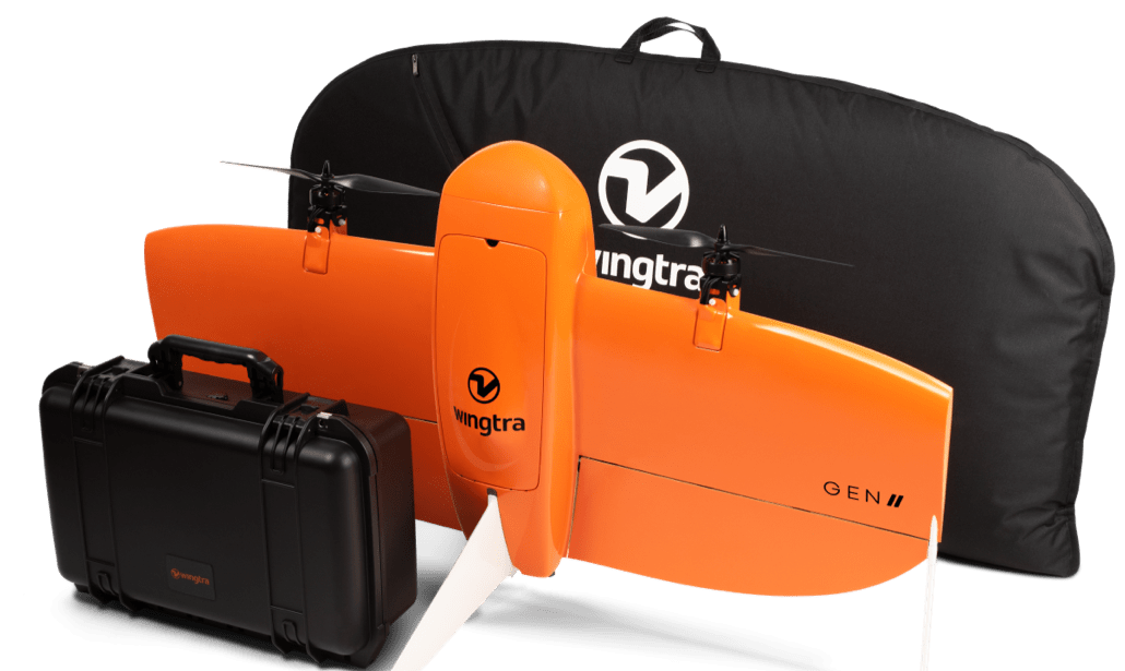
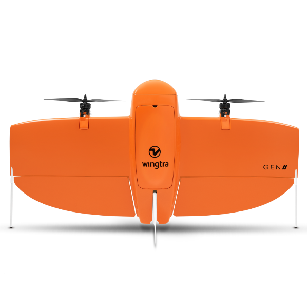
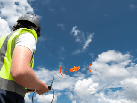
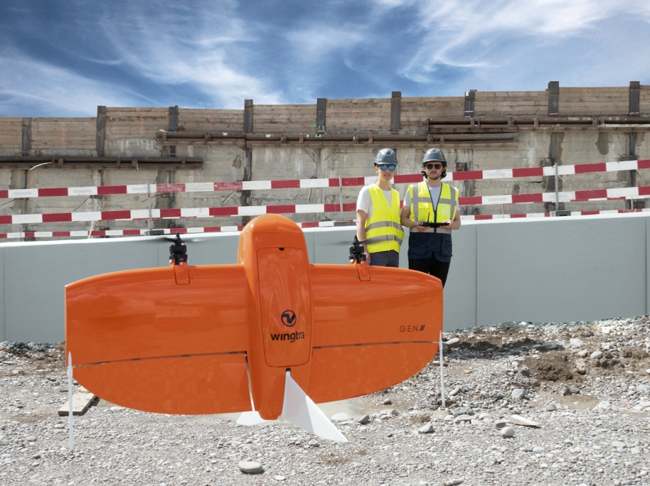
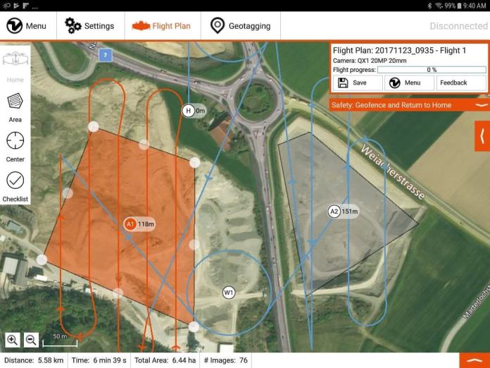
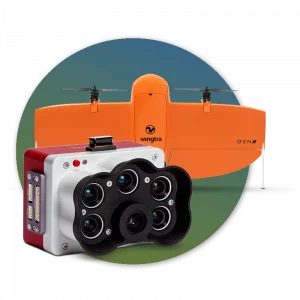
The Wingtra GENII PPK VTOL is a fully autonomous fixed-wing drone designed specifically for long-distance surveying applications. Fully autonomous, the Wingtra allows a flight to be pre-planned via the intelligent WingtraPilot software. With the touch of a button, the Wingtra is up in the air and automatically capturing surveying data.
For example, in a single one-hour flight, the WingtraOne can cover 130 ha (320 ac), which is equal to 240 football fields and deliver maps at GSDs below 1 cm/px (0.4 in/px) with absolute accuracy down to 1 cm (0.4 in).
Unlike other fixed-wing drones available, the WingraOne can take off vertically like a quadcopter, even on difficult terrain. This eliminates the need to hand launch the aircraft or use catapults, making the Wingtra an ideal solution for use in locations with confined takeoff areas.
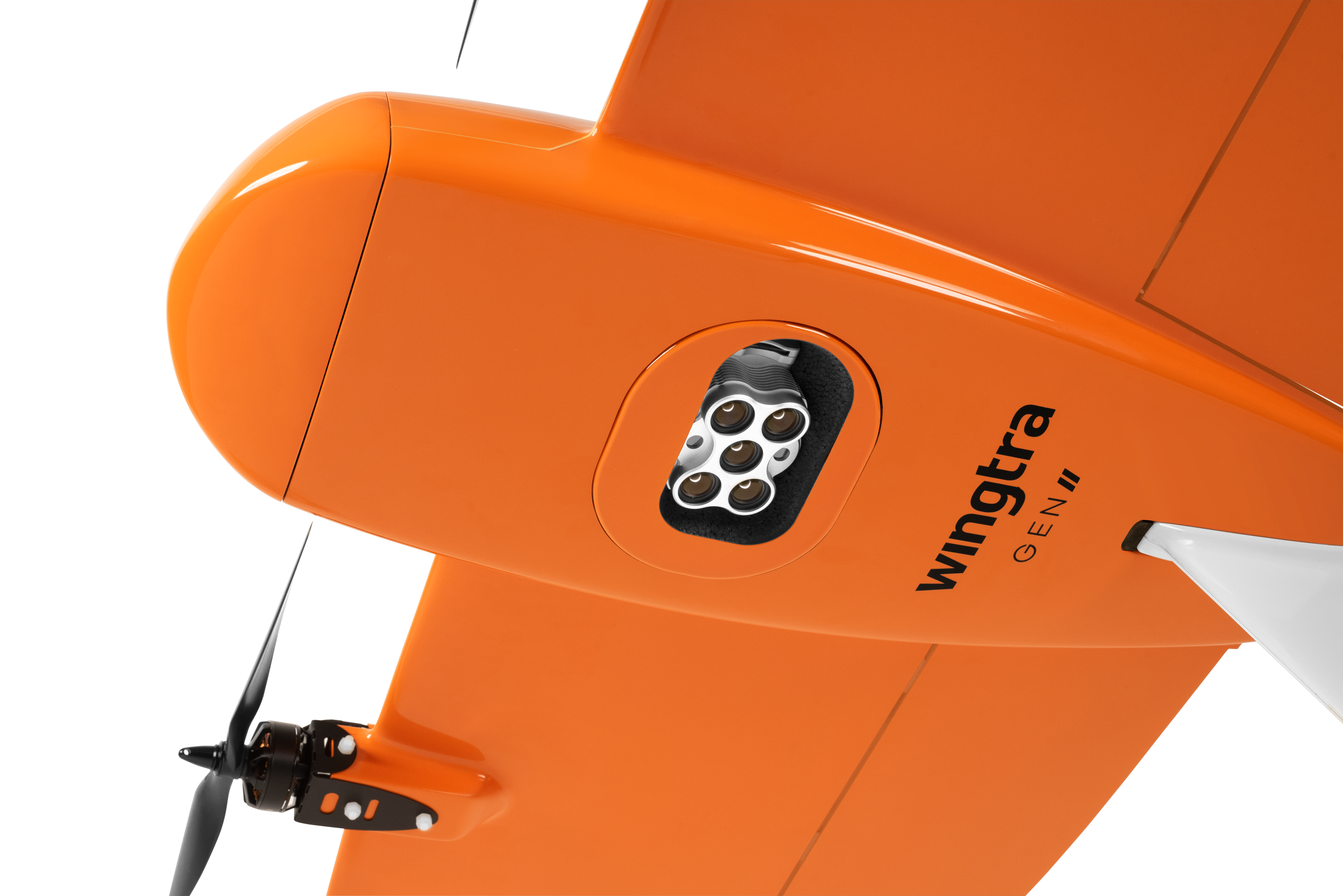
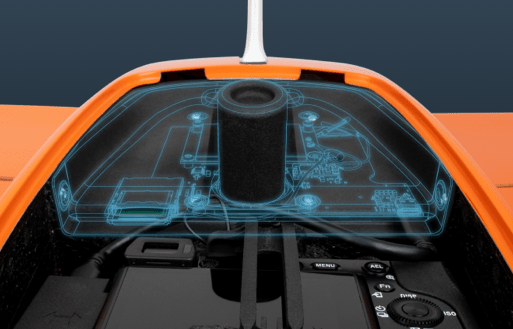
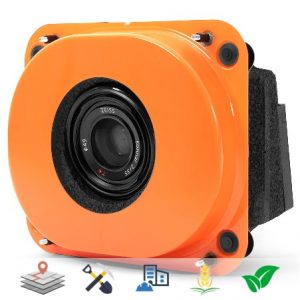
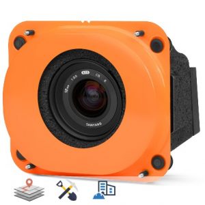
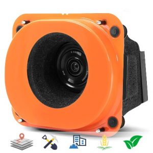
Capable of flying for up to 59 minutes, the Wingtra is tailor-made to cover large distances of up to 400ha at 3cm/px. The Wingtra VTOL is compatible with a variety of payloads including the Sony QX1, Sony RX1RII and the Micasense RedEdge.
Key accuracy stats:
- Down to 0.7 cm/px GSD
- Down to 1 cm absolute accuracy
- Covers 400 ha at 3 cm/px GSD
- Hands-off: truly safe & easy to use
The Wingtra VTOL is suitable for the following applications:
- Surveying
- Precision agriculture
- Infrastructure inspection
Content
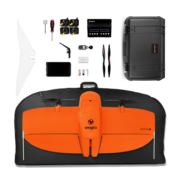
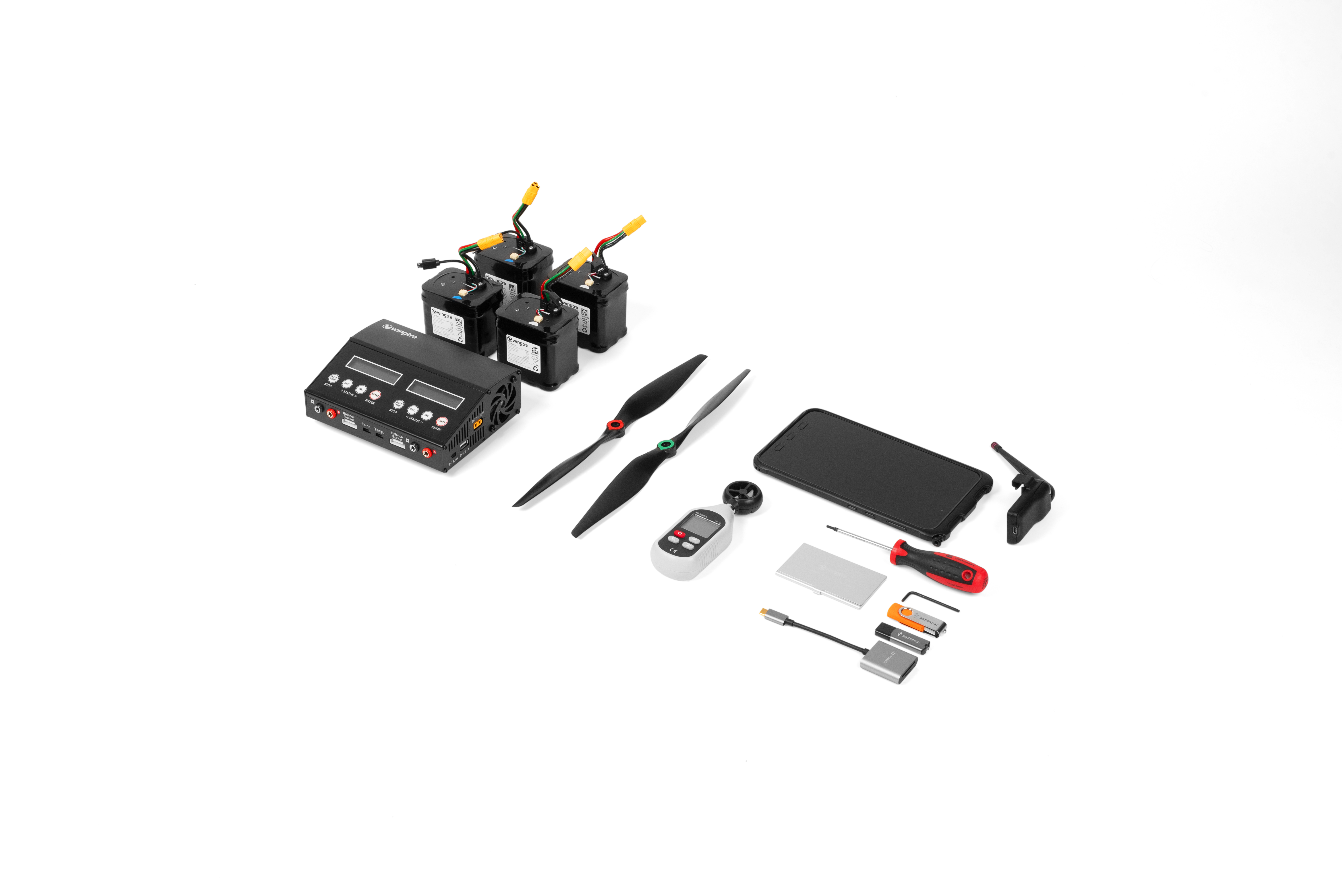
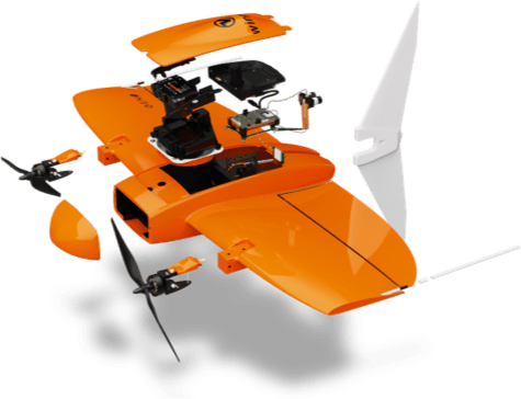
- x1 WingtraOne GEN II drone
- x1 Carrying sleeve
- x1 Carrying case for accessories (pilot box)
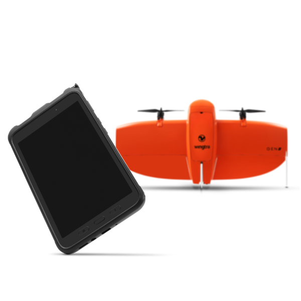
- x1 Tablet including WingtraPilot flight planning software
- x1 Telemetry module (2.4 Ghz)
- x2 pairs of batteries
- x1 Charging station
- x1 Anemometer
- x1 SD card adapter
- x1 Micro SD card reader
- x1 Pair of side stands
- x1 vMiddle stand
- x1 Torx screw driver T10
- x1 Torx T10 key





Reviews
There are no reviews yet.