


![South H6 [Used Grade A]](https://www.ghostysky.com/wp-content/uploads/2022/05/colector-de-datos-south-h6-con-soporte-a-jalon-360x360.png)

![Emlid REACH M2 [Used A]](https://www.ghostysky.com/wp-content/uploads/2024/05/GH_M2_1_GradeA-scaled.jpg)
![Entron 300 - Drone Light Show drone [Used B]](https://www.ghostysky.com/wp-content/uploads/2024/04/Entron300_1_B.jpg)


Solução Perfeita para obtenção de resultados únicos – O seu projeto nunca esteve em melhores mãos!

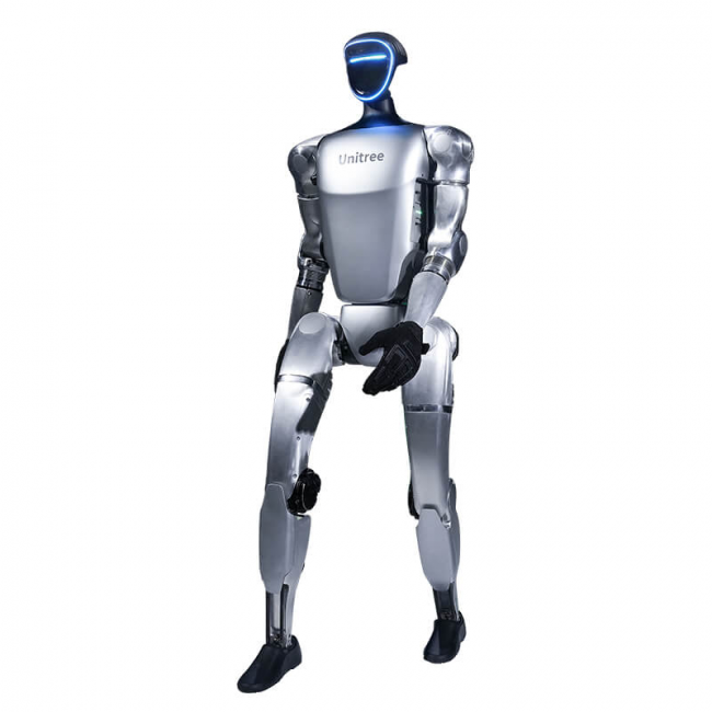
Unitree G1
High-performance, mass-produced humanoid robot designed to bring advanced robotics into a more accessible price bracket


-
 Vista Rápida
DJI Avata 360 Two-Way Charging Hub
47,97 € excl. VAT and shipping costs -
Vista Rápida
DJI Avata 360 Propellers
7,32 € excl. VAT and shipping costs -
Vista Rápida
DJI Avata 360 Fly More Combo (DJI RC 2)
779,67 € excl. VAT and shipping costs -
Vista Rápida
DJI Avata 360 Intelligent Flight Battery
64,23 € excl. VAT and shipping costs -
Vista Rápida
DJI RC Motion 3
72,36 € excl. VAT and shipping costs -
Vista Rápida
DJI Goggles N3
218,70 € excl. VAT and shipping costs -
Vista Rápida
DJI Avata 360 (DJI RC 2)
592,68 € excl. VAT and shipping costs -
Vista Rápida
DJI Avata 360 Motion Fly More Combo (DJI Goggles N3)
779,67 € excl. VAT and shipping costs -
Vista Rápida
GDU S400 Li-ion Polymer Battery
1.099,00 € excl. VAT and shipping costs -
Vista Rápida
GDU APA01 FlyPort V1 Ecosystem Adapter Ring
80,00 € excl. VAT and shipping costs

-
Vista Rápida
Hesai JT128
1.175,00 € excl. VAT and shipping costs -
Vista Rápida
AgiBot D1 MaxPro
(Price on request) -
Vista Rápida
Noetix BUMI Pro Humanoid Robot
6.490,00 € excl. VAT and shipping costs -
Vista Rápida
Noetix BUMI EDU-Pro Humanoid Robot
10.490,00 € excl. VAT and shipping costs -
Vista Rápida
Unitre G1 EDU Professional F (U14)
34.300,00 € excl. VAT and shipping costs -
Vista Rápida
Unitre G1 EDU Professional E (U13)
31.250,00 € excl. VAT and shipping costs -
Vista Rápida
Unitree G1 EDU Professional A (U9)
33.150,00 € excl. VAT and shipping costs -
Vista Rápida
Unitre G1 EDU Professional B (U10)
34.999,00 € excl. VAT and shipping costs -
Vista Rápida
Unitree G1 EDU Ultimate F (U8)
39.900,00 € excl. VAT and shipping costs -
Vista Rápida
Unitree G1 EDU Ultimate E (U7)
36.800,00 € excl. VAT and shipping costs