

Core Features & Benefits
-
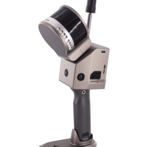
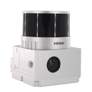
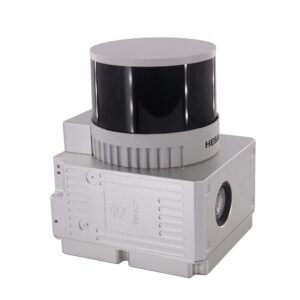
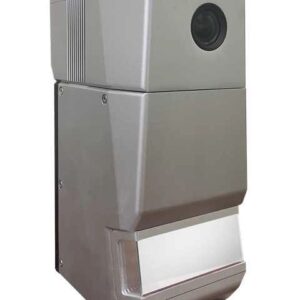
Multi-Platform Versatility: Whether mounted on a UAV (Drone), a vehicle, or used as a handheld/backpack unit, the M302 adapts to your project’s terrain and scale.
-
High-Accuracy Positioning: Equipped with a tactical-grade IMU and a high-end GNSS receiver, ensuring centimeter-level accuracy even in complex environments.
-
Triple Return Technology: Superior penetration through dense vegetation, making it an ideal choice for forestry, topographic surveying, and power line inspections.
-
Real-Time Data Visualization: Compatible with Geosun’s proprietary software suite, allowing operators to monitor point cloud quality and coverage during the mission.
-
Integrated Imaging: Supports external camera integration for producing true-color 3D point clouds, adding a layer of visual context to your digital twins.
Technical Specifications
| Component | Specification |
|---|---|
| gCollector Parameters | |
| CPU/RAM | 13th Intel i9 / 96GB DDR5 |
| Processor Unit | Max Support Nvidia RTX 4090 |
| Camera Interface | Max Support 16 * 8MP GMSL |
| LiDAR Interface | Max 10-Way 1000 Mbps |
| Serial Port | 2-Way RS232/422/485 |
| CAN/CANfd | 8-Way 8 Mbps |
| USB | 6-Way USB3.2 |
| LiDAR Unit | |
| Measuring Range | Max 300m Detection Range |
| Range Accuracy | 1 cm |
| Laser Class | 950nm Class1 (IEC 60825-1:2014) |
| Return | 3 Echos |
| Data Rate | 1,920,000.00 pts/s |
| FOV | 360°/40.3° |
| POS Unit | |
| Update Frequency | 200Hz |
| Heading Accuracy | 0.008° |
| Pitch Accuracy | 0.003° |
| Rolling Accuracy | 0.003° |
| Position Accuracy | Horizontal: 0.02m, Vertical: 0.03m |
| GNSS Signal Type | GPS L1/L2/L5, GLONASS L1/L2, BDS B1/B2/B3, GAL E1/E5a/E5b |
| Model | gSpin 510 |
| Camera | |
| Effective Pixel | 7* 5 Mega Pixel |
| Exposure Time | 25μs~2.5sec |
| Max Frame Rate | 30 fps |
Primary Applications
“The gCollector-M302 transforms hours of traditional surveying into minutes of digital capture.”
-
Topographic Mapping: Quickly generate Digital Elevation Models (DEM) and Digital Surface Models (DSM).
-
Infrastructure Inspection: Detailed 3D modeling of bridges, highways, and tunnels for maintenance and BIM workflows.
-
Power Line Surveying: Automatic extraction of power line wires and clearance analysis.
-
Forestry Management: Measure tree heights, canopy density, and biomass with high-penetration laser pulses.
-
Urban Planning: Rapidly capture “as-built” data for Smart City initiatives and street-view mapping.
Why Choose the M302?
The Geosun gCollector-M302 stands out for its balance of weight and range. While many lightweight scanners sacrifice distance, the M302 maintains a long-range capability that allows for higher flight altitudes (increasing safety and coverage area) without compromising the density of the point cloud. It is a true “workhorse” for surveyors who need a reliable, all-in-one tool for diverse environmental challenges.


Reviews
There are no reviews yet.