
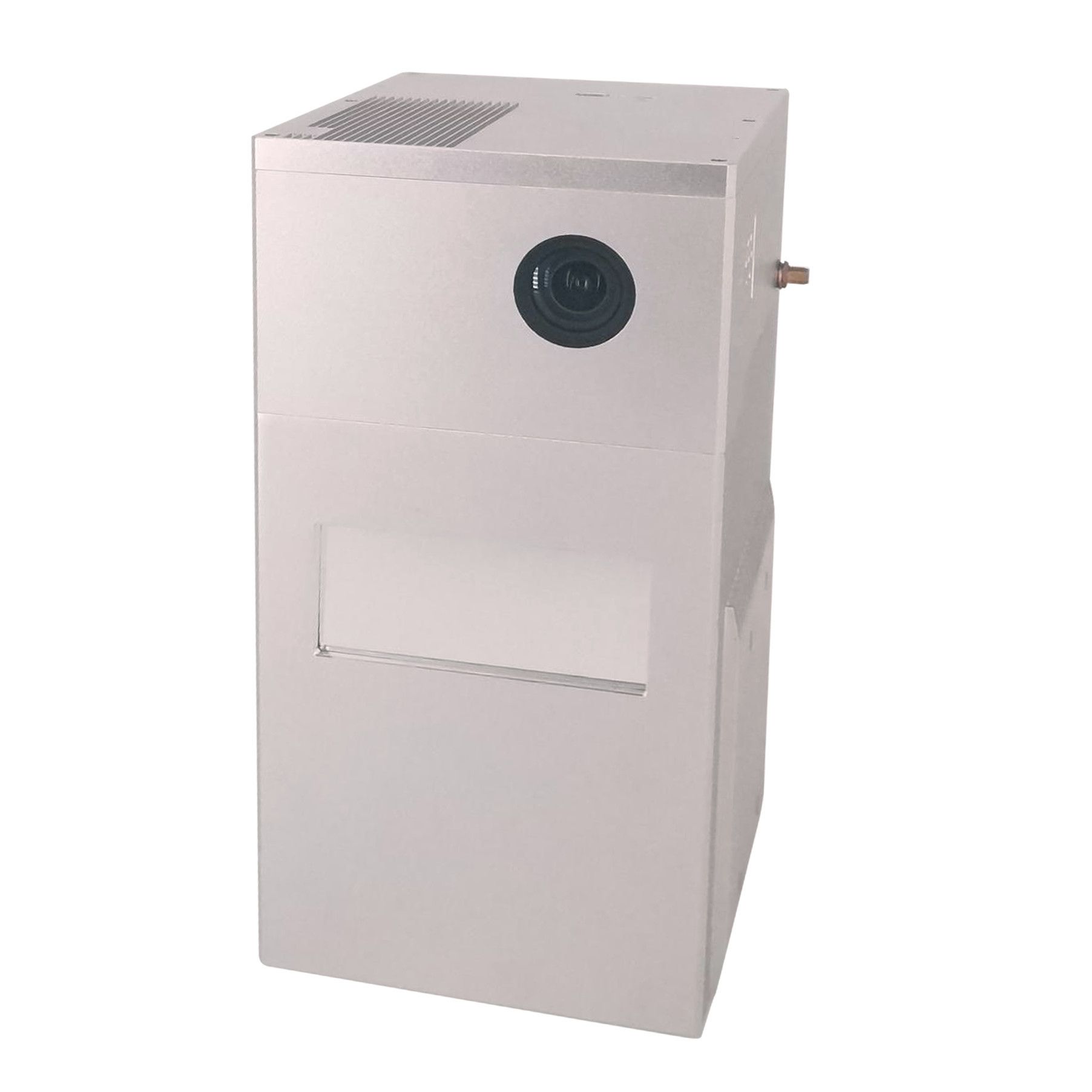
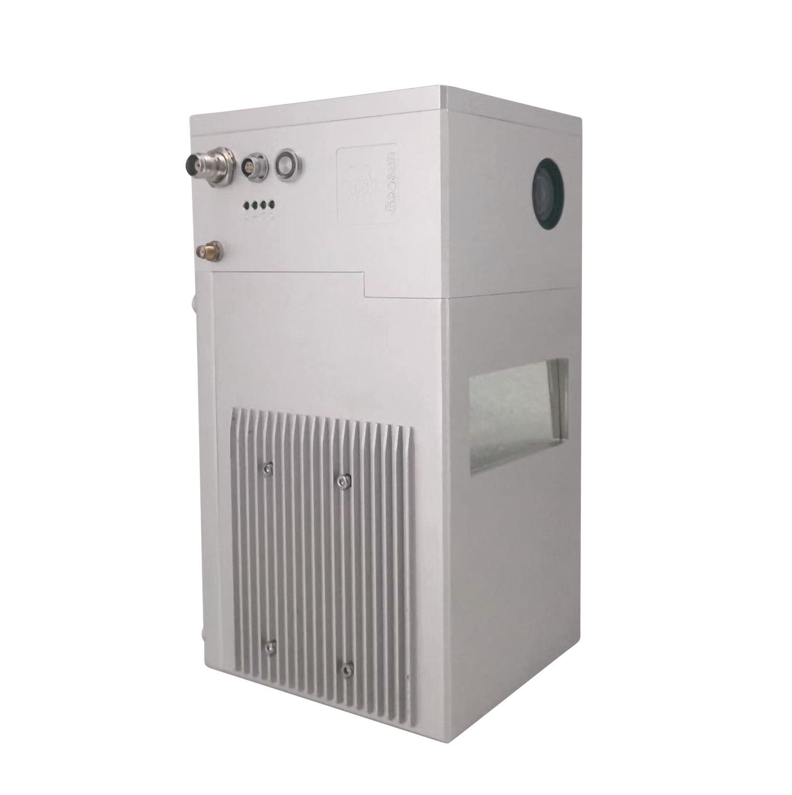
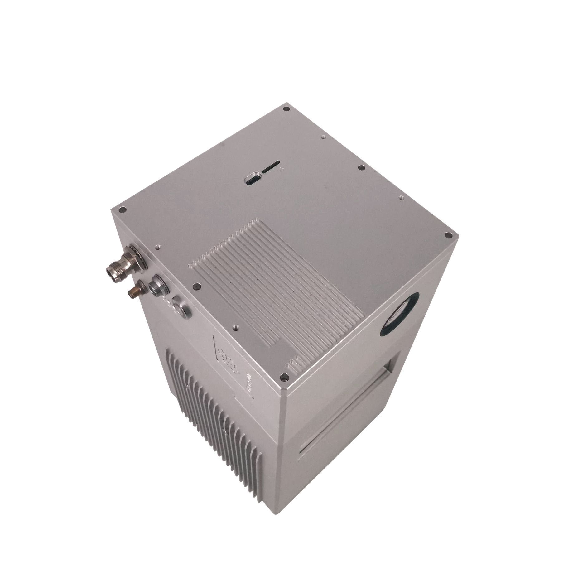
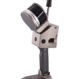
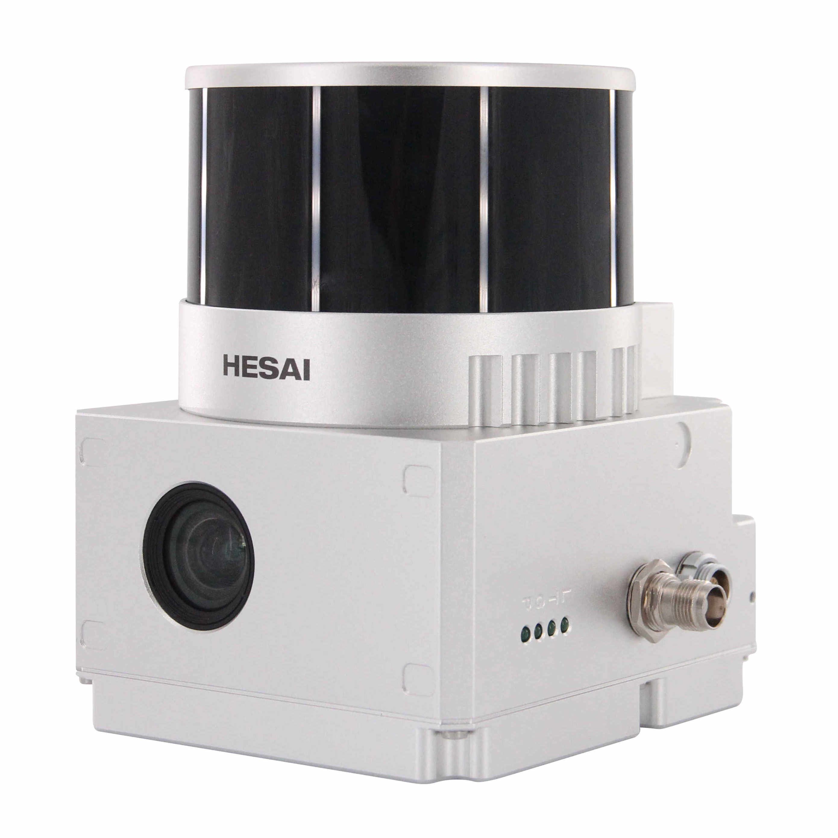
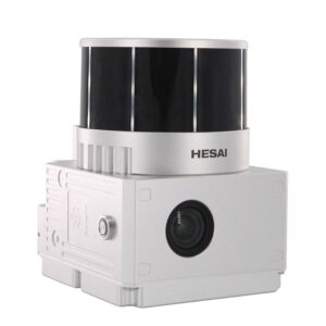
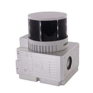
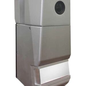
Geosun gAirHawk Series GS-2000N LiDAR Scanning System
UAV LiDAR Scanning System gAirHawk GS-2000N is a kind of long range, compact LiDAR point cloud data acquisition system, integrated FT-1500H long range laser scanner, GNSS and IMU positioning and attitude determination system, and storage control unit, is able to real-time, dynamically, massively collect high-precision point cloud data and rich image information. It is widely used in the acquisition of 3D spatial information in surveying, electricity, forestry, agriculture, land planning.
Specification
| LiDAR scanning system gAirHawk GS-2000N | ||
| Item Name | System Parameters | |
| GS-2000N
Parameters |
Weight | 3.2kg |
| Working temperature | -20℃~+60℃ | |
| Power range | 12 V- 24 V | |
| Consumption | 65 W | |
| Carrying Platform | 6 Aixs Multi Rotor Drone | |
| Storage | 64 GB storage, maximum support 128GB TF card | |
| Lidar Unit
|
Measuring Range | 2000m@80% |
| Laser class | 1550 nm Class1 (IEC 60825-1:2014) | |
| Laser line number | FT-1500H Single-Beam | |
| Measuring accuracy | 3mm@100m | |
| Max. range | 2000m | |
| Return | Seven echos | |
| Scanning frequency | 10HZ-200HZ | |
| Beam Divergence | 0.3mrad | |
| FOV | 75°-90°, adjustable | |
| POS Unit | Update frequency | 200HZ |
| Heading accuracy | 0.010° | |
| Pitch accuracy | 0.003° | |
| Rolling accuracy | 0.003° | |
| Position accuracy | Horizontal: 0.02m, Vertical: 0.03m | |
| GNSS signal type | GPSL1/L2/L5 GLONASSL1/L2 BDS B1/B2/B3 GAL E1/E5a/5b | |
| IMU | gSpin 410 | |
| Pre-processing software | POS software | Output information: position, speed, attitude |
| Point cloud software | Output point cloud data format: LAS format, custom TXT format | |
| Camera (built-in) | FOV | 48 * 33 Degree |
| Effective Pixel | 45 MP (Full-frame Camera) | |
| focal Length(mm) | 16 | |
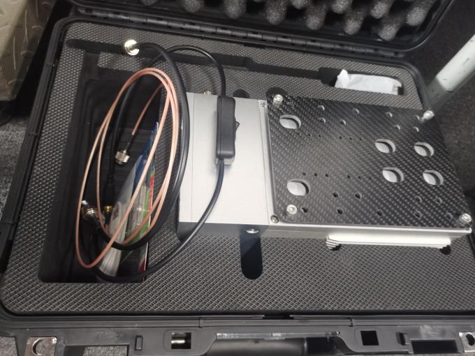
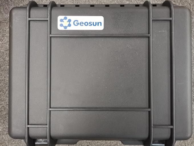
Package
LiDAR Scanning System is packed by suit case with EVA material liner inside, then covered by hard carton box.
The pacakge of uav LiDAR scanning system is suitable for air shipment and sea shipment.


Reviews
There are no reviews yet.