


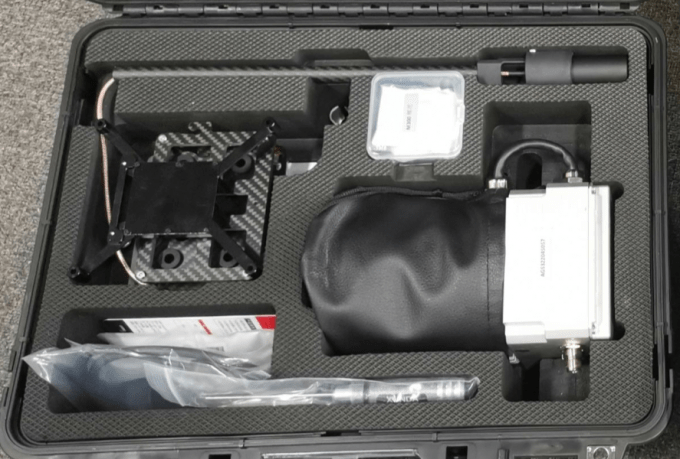
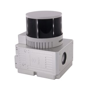
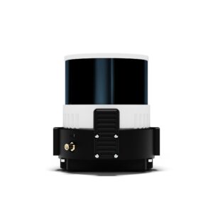
Geosun gAirHawk Series GS-260F Drone LiDAR Scanning System
gAirHawk GS-260F is a kind of Mid-range, compact LiDAR point cloud data acquisition system, integrated HESAI Pandar 40P laser scanner, GNSS and IMU positioning and attitude determination system, and storage control unit, is able to real-time, dynamically, massively collect high-precision point cloud data and rich image information. It is widely used in the acquisition of 3D spatial information in surveying, electricity, forestry, agriculture, land planning.
Specification
| gAirHawk GS-260F gAirHawk Series GS-260F Drone LiDAR Scanning System | ||
| Item Name | System Parameters | |
| GS-260FParameters | Weight | 2.1 kg |
| Measuring accuracy | Less than 0.1m/0.05m(@150m) | |
| Working temperature | -20℃~+60℃ | |
| Power range | 12 V- 24 V | |
| Consumption | 20 W | |
| Carrying Platform | GS-800 Multi Rotor, DJI M300, DJI M600 Pro | |
| Storage | 64 GB storage, maximum support 128GB TF card | |
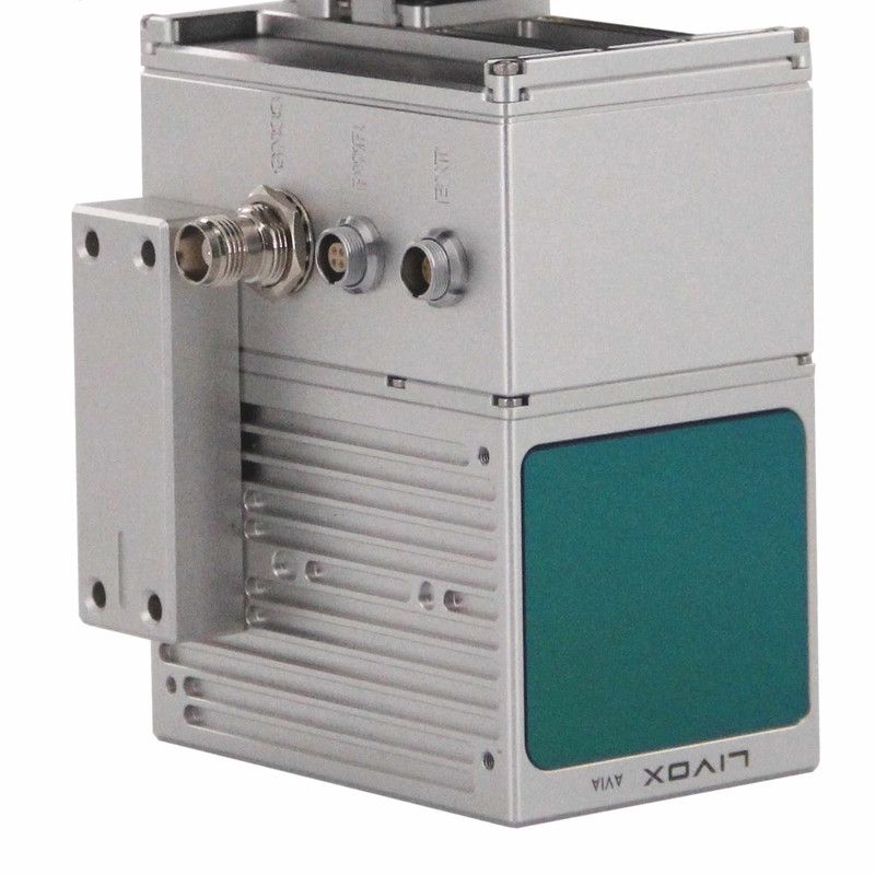
| Lidar Unit
|
Measuring Range | 0.3m-200m@20% Reflectivity |
| Laser class | 905nm Class1 (IEC 60825-1:2014) | |
| Laser line number | 40-Channel | |
| Max. range | 200 m | |
| Mix. range | 0.3 m | |
| Range accuracy | ±5cm (@0.3m~5m), ±2cm (@0.5m~200m) | |
| Scanning frequency | 10HZ, 20HZ | |
| data | Double echo 720,000 Points/Sec | |
| FOV | 360°, adjustable | |
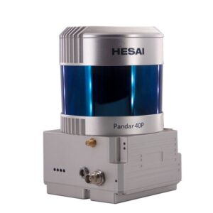
| Laser sensor | HESAI Pandar 40P | |
| POS Unit | Update frequency | 200HZ |
| Heading accuracy | 0.017° | |
| Pitch accuracy | 0.005° | |
| Rolling accuracy | 0.005° | |
| Position accuracy | ≤0.05m | |
| GNSS signal type | GPSL1/L2/L5 GLONASSL1/L2 BDS B1/B2/B3 GAL E1/E5a/5b | |
| Pre-processing software | POS software | Output information: position, speed, attitude |
| Point cloud software | Output point cloud data format: LAS format, custom TXT format | |
| Camera | FOV | 83 Degree |
| Effective Pixel | 26 Mega Pixel | |
| Trigger event | Distance or Time trigger | |


Reviews
There are no reviews yet.