
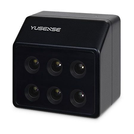
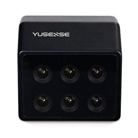
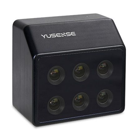
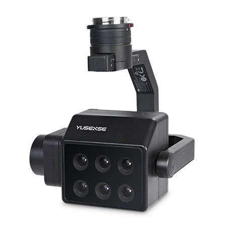
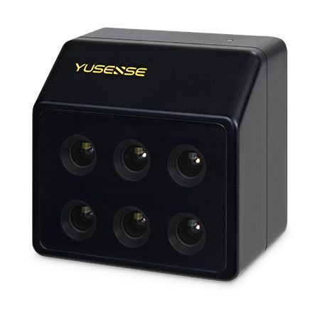
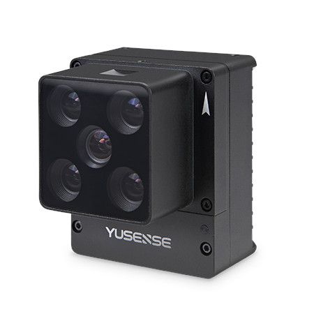
Key features:
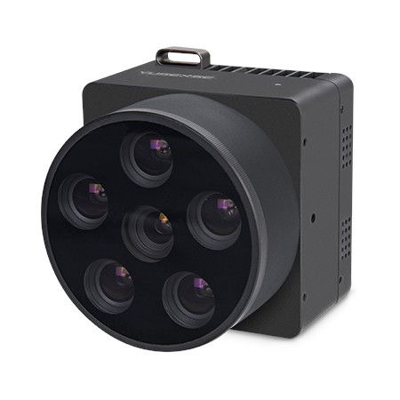
- Six spectral bands: 450nm, 555nm, 660nm, 720nm, 750nm, and 840nm
- 1.2 megapixel resolution per band
- Global shutter sensor for capturing clear images even in fast-moving scenarios
- Downwelling light sensor (DLS) for accurate data correction under varying light conditions
- Built-in GPS module for geotagging images
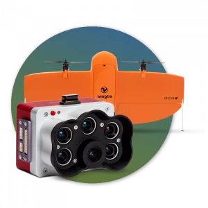
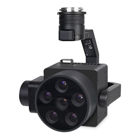
- DJI SkyPort interface for seamless integration with DJI M300 and M350 drones
- Compact and lightweight design for easy integration with various platforms
Applications:
- Precision agriculture: Crop health monitoring, pest and disease detection, yield estimation, fertilizer and water management
- Forestry monitoring: Tree health assessment, deforestation detection, forest resource management
- Environmental monitoring: Water quality monitoring, pollution level tracking, land cover change analysis
- Geological mapping: Mineral exploration, soil analysis, resource identification
Benefits:
- Enhanced data collection: Capture information beyond the visible spectrum for more comprehensive analysis
- Improved decision-making: Gain valuable insights from data to optimize practices and resource management
- Increased efficiency: Automate data collection and analysis workflows
- Reduced costs: Save time and money by using targeted interventions based on accurate data
Overall, the Yusense MS600 Advanced V2 is a versatile and powerful multispectral camera that can be a valuable tool for professionals in various industries.
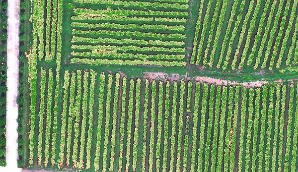
Applications
Vegetation growth assessment
Using NDVI, LAI and other vegetation factors, we quantitatively describe the consistency of the vegetation canopy state at different spatial scales, assist the characteristic spectra of vegetation in different health states, quantitatively assess the vegetation’s longevity, and provide data support for irrigation, fertilizer application, plant protection, and yield assessment.
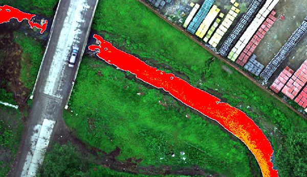
Monitoring of black-odor water bodies
With reference to the evaluation standard of surface black smelly water bodies, we use characteristic spectra to construct classification indexes, realize graded inversion and spatial information statistics of black smelly water bodies, assist in analyzing the impact of domestic sewage and industrial wastewater on the surrounding water bodies, and help in the investigation of pollution sources and assessment of the water environment.
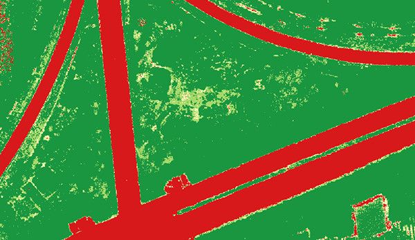
Coverage Assessment
Based on the fingerprint spectrum of vegetation to construct vegetation index, complete the spatial distribution and area statistics of the target vegetation in the designated area, and provide quantitative data on vegetation cover for scientific research and production in agriculture, forestry and grassland, ecology and other fields.
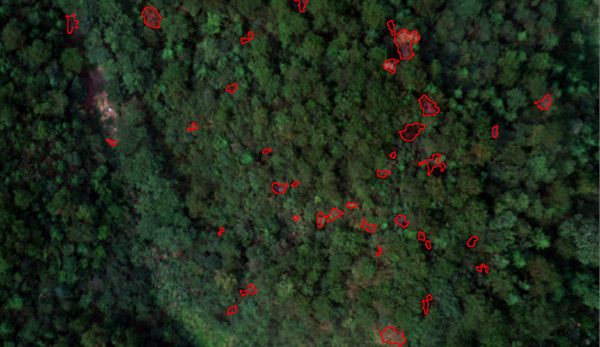
Monitoring of pine discolored standing trees
Comprehensively utilizing spectral and texture information to realize efficient suppression of environmental backgrounds such as soil, dead grass and high-precision identification of discolored standing trees, accurately extracting information on the location, spatial distribution and canopy area of the discolored standing trees, and providing data support for the management of infected trees.


Reviews
There are no reviews yet.