

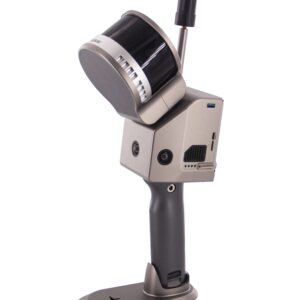
Core Capabilities
-
Centimeter-Level Precision: By combining GNSS, IMU, and wheel sensors (odometers), the system maintains horizontal accuracy of 0.02m and vertical accuracy of 0.03m, even in challenging urban “canyons.”
-
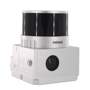
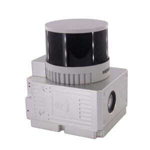
360° Vision & Scanning: It features a surveying-grade panoramic camera system (typically 7×5 MP) and a LiDAR unit with a 360° horizontal field of view, ensuring no blind spots during collection.
-
GNSS-Denied Performance: It utilizes SLAM (Simultaneous Localization and Mapping) technology and intelligent algorithms to continue accurate data collection in tunnels, underground garages, or under heavy tree cover.
-
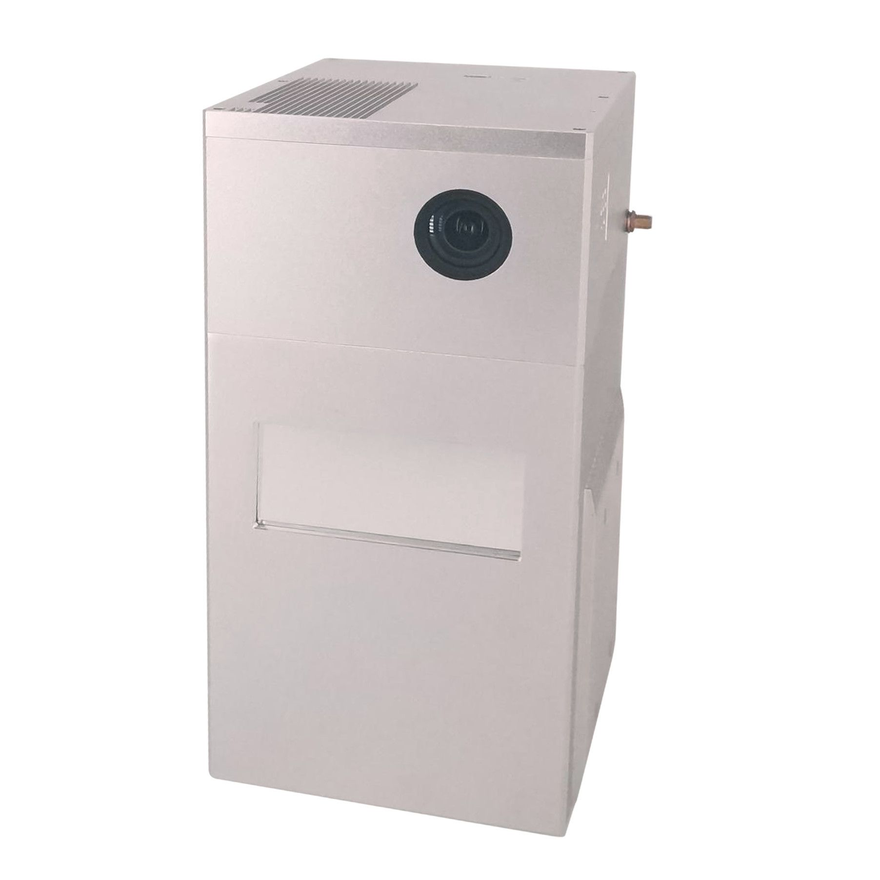
High-End Processing Power: Unlike many entry-level units, it carries an onboard 13th Gen Intel i9 processor and supports high-end GPUs (like the RTX 4090) for real-time data handling.
Technical Specifications
| Component | Specification |
|---|---|
| gCollector Parameters | |
| CPU/RAM | 13th Intel i9 / 96GB DDR5 |
| Processor Unit | Max Support Nvidia RTX 4090 |
| Camera Interface | Max Support 16 * 8MP GMSL |
| LiDAR Interface | Max 10-Way 1000 Mbps |
| Serial Port | 2-Way RS232/422/485 |
| CAN/CANfd | 8-Way 8 Mbps |
| USB | 6-Way USB3.2 |
| LiDAR Unit | |
| Measuring Range | Max 300m Detection Range |
| Range Accuracy | 1 cm |
| Laser Class | 950nm Class1 (IEC 60825-1:2014) |
| Return | 3 Echos |
| Data Rate | 1,920,000.00 pts/s |
| FOV | 360°/40.3° |
| POS Unit | |
| Update Frequency | 200Hz |
| Heading Accuracy | 0.008° |
| Pitch Accuracy | 0.003° |
| Rolling Accuracy | 0.003° |
| Position Accuracy | Horizontal: 0.02m, Vertical: 0.03m |
| GNSS Signal Type | GPS L1/L2/L5, GLONASS L1/L2, BDS B1/B2/B3, GAL E1/E5a/E5b |
| Model | gSpin 510 |
| Camera | |
| Effective Pixel | 7* 5 Mega Pixel |
| Exposure Time | 25μs~2.5sec |
| Max Frame Rate | 30 fps |
Typical Applications
The M502 is built for industrial-scale projects where speed and accuracy are non-negotiable:
-
Urban 3D Modeling: Creating high-fidelity digital twins of entire city blocks.
-
Road Asset Census: Automatically identifying and mapping road signs, lamp posts, and manhole covers.
-
Highway & Railway Inspection: Monitoring track/road conditions and detecting deformations or maintenance needs.
-
Infrastructure Assessment: High-speed surveys of bridges, tunnels, and large-scale utilities.
Software Workflow
The system comes paired with Geosun’s proprietary software suite:
-
POS Software: For calculating precise trajectories and attitude.
-
PointCloudCreater: For generating and colorizing the raw point clouds (supporting standard formats like .LAS).


Reviews
There are no reviews yet.