

Key Features
-
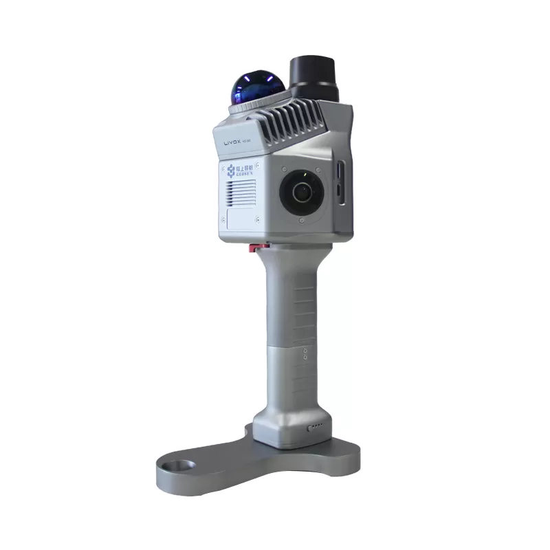
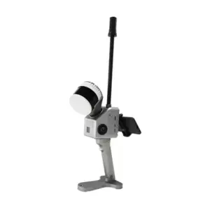
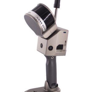
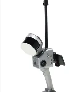
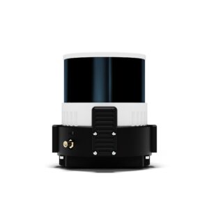
Ultra-Lightweight & Portable: Weighing only 1.0 kg, its compact size makes it exceptionally easy to handle for extended periods and deploy in hard-to-reach areas.
-
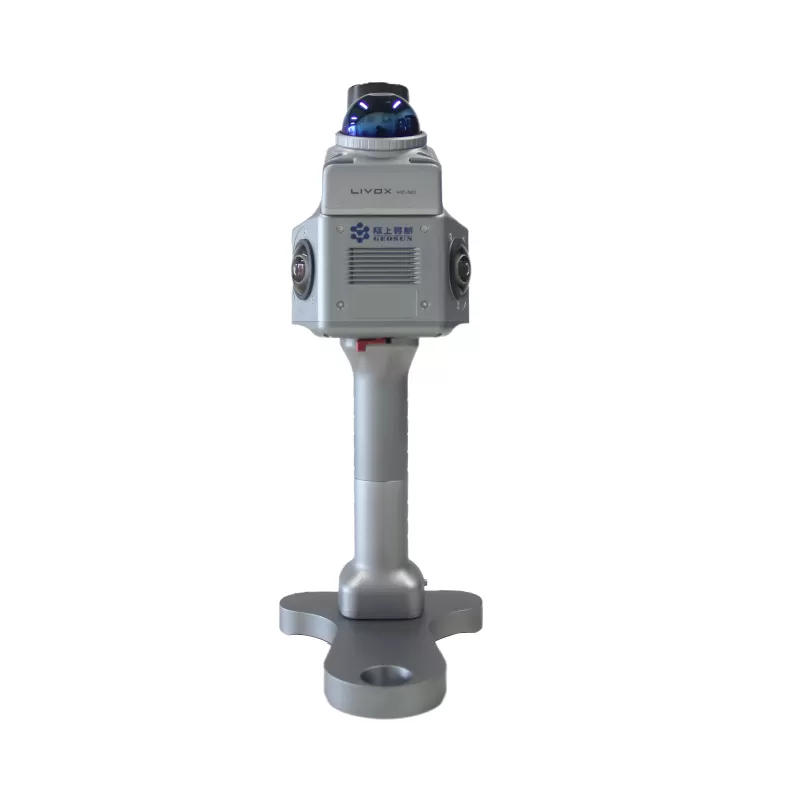
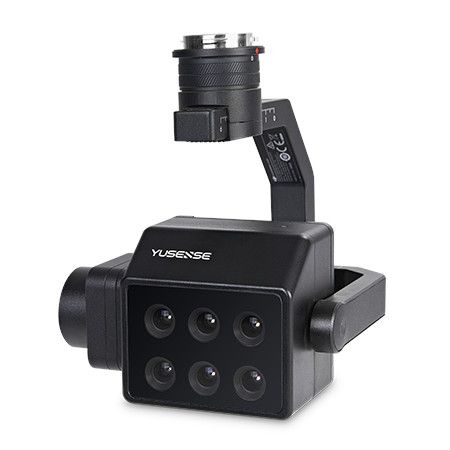
High-Precision SLAM Technology: Powered by advanced SLAM (Simultaneous Localization and Mapping) algorithms and the Livox Mid-360 laser sensor, it captures full-coverage 3D point clouds with high stability and precision.
-
Indoor & Outdoor Versatility: It delivers reliable and accurate data acquisition in both GNSS-available (GPS, GLONASS, Galileo, BDS) and GNSS-denied environments, such as indoors, underground parking lots, and dense urban canyons.
-
High Accuracy: Achieve outstanding measurement quality with a relative accuracy of 1 cm and an absolute accuracy of 5 cm.
-
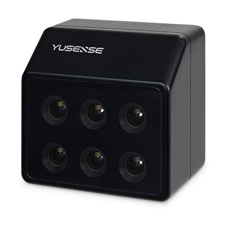
Integrated Imaging: Equipped with two 20 MP cameras that capture time-synchronized imagery with a 200º Field of View (FOV) to create colorized point clouds.
-
Flexible Mapping Modes: Supports multiple operating modes including SLAM, RTK-SLAM, and PPK-SLAM for maximum flexibility and efficiency.
-
Multi-Platform Support: While designed as a handheld system, it can also be mounted on a backpack or other DIY platforms to suit various project needs.
Technical Specifications Highlights
| Attribute | Detail |
| Weight | 1.0 kg |
| Dimensions | 16.5 x 12.0 x 32.4 cm |
| Relative Accuracy | +- 1 cm |
| Absolute Accuracy | +- 5 cm |
| Point Rate | 200,000 points/sec (Single echo) |
| Scanning Method | Non-repetitive Scanning |
| Horizontal FOV | 360 º |
| Camera Pixels | 2 x 20 MP |
| Storage | 128 GB MicroSD Card |
| Operation Temp. | -20 ºC to + 55 ºC |
Ideal Applications
The GS-200G is engineered for a wide range of professional applications, including:
-
Urban Surveying and Mapping
-
Infrastructure Inspection (Bridges, Tunnels, Roads)
-
Digital Twin Modeling and Asset Management
-
Indoor Mapping (Factories, Buildings, Warehouses)
-
Topographic Survey and Earthwork Measurement
-
Cave and Underground Surveying
The Geosun GS-200G offers an exceptional balance of cost, performance, and portability, making it the perfect entry-level or secondary system for modern 3D surveying and mapping professionals.


Reviews
There are no reviews yet.