


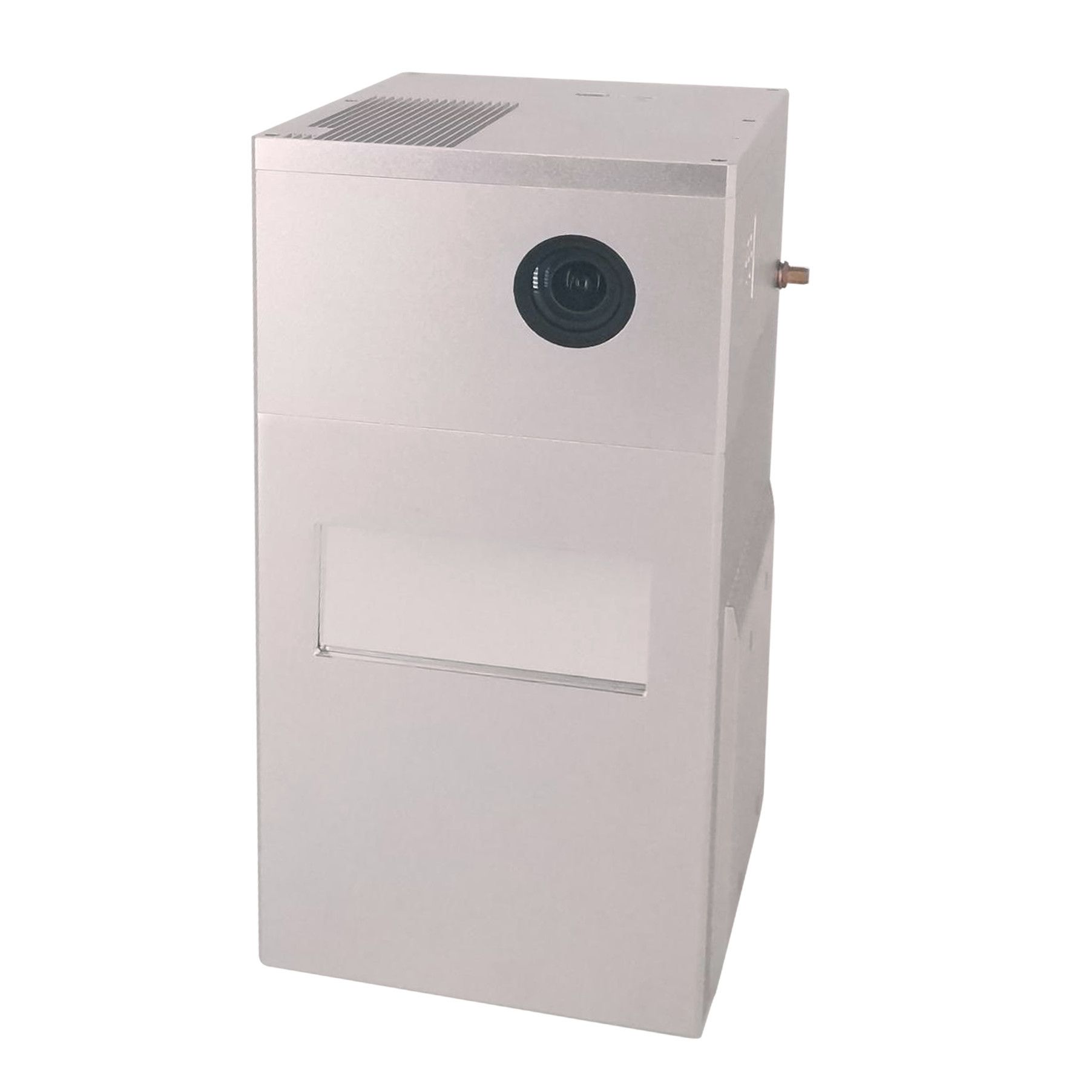
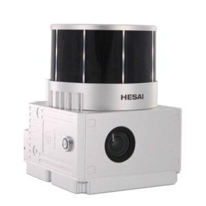
Drone LiDAR Scanning System
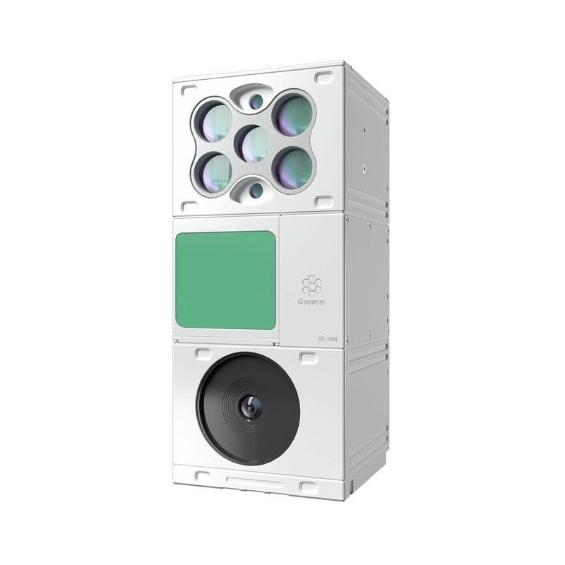
gAirHawk GS-130H New Designed is a kind of short range, compact LiDAR point cloud data acquisition system, integrated Livox horizon laser scanner, GNSS and IMU positioning and attitude determination system, and storage control unit, is able to real-time, dynamically, massively collect high-precision point cloud data and rich image information. It is widely used in the acquisition of 3D spatial information in surveying, electricity, forestry, agriculture, land planning.
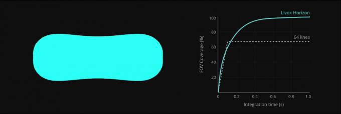
Non-repetitive Horizontal Scanning Patterns
Livox Horizon features non-repetitive horizontal scanning patterns which differ significantly from the repetitive linear scanning offered by traditional LiDAR sensors. The areas scanned inside the FOV of a Horizon sensor grow the longer the integration time, increasing the likelihood of objects and other details within the FOV being detected. The point cloud density can easily surpass that of 64-line LiDAR sensors, resulting in safer, more reliable. The coverage ratio of the point cloud will increase gradually over integration time to nearly 100%.
Specfication
| gAirHawk GS-130H | ||
| Item Name | System Parameters | |
|
GS-130H Parameters |
Weight | 1.2kg (without camera) |
| Measuring accuracy | 12 cm | |
| Working temperature | -40℃~+85℃ | |
| Power range | 12 V- 15 V | |
| Consumption | Average 15 W | |
| Carrying Platform | DJI M600 PRO, DJI M300/M350, Yuneec H850 RTK | |
| Storage | 64 GB storage, maximum support 128GB TF card | |
|
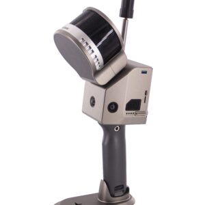
Lidar Unit
|
Measuring Range | 90m@10% Reflectivity, 130m@20% Reflectivity |
| Laser class | 905nm Class1 (IEC 60825-1:2014) | |
| Laser line number | Equivalent to 64-line | |
| Max. range | 260 m | |
| Mix. range | 0.3 m | |
| Range accuracy | 2cm (@1m~200m) | |
| data | Double echo 480,000 Points/Sec | |
| FOV | 81.7°× 25.1° | |
| POS Unit | POS type | AGS 302 |
| Update frequency | 200HZ | |
| Heading accuracy | 0.04° | |
| Pitch accuracy | 0.015° | |
| Rolling accuracy | 0.015° | |
| Position accuracy | 0.02 – 0.05m | |
| GNSS signal type | GPSL1/L2 GLONASSL1/L2 BDS B1/B2a/B3 | |
| Pre-processing software | POS software | Output information: position, speed, attitude |
| Point cloud software | Output point cloud data format: LAS format, custom TXT format | |
| Camera (option) | Camera Model | Sony RX1 RM2 |
| Effective Pixel | 42 Mega Pixel | |
| Trigger event | Distance or Time trigger | |
| Weight (g) | Less than 600 | |
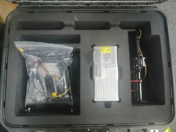
Package
It is packed by suit case with EVA material liner inside, then covered by hard carton box. It is suitable for air shipment and sea shipment.


Reviews
There are no reviews yet.