


Solução Perfeita para obtenção de resultados únicos – O seu projeto nunca esteve em melhores mãos!

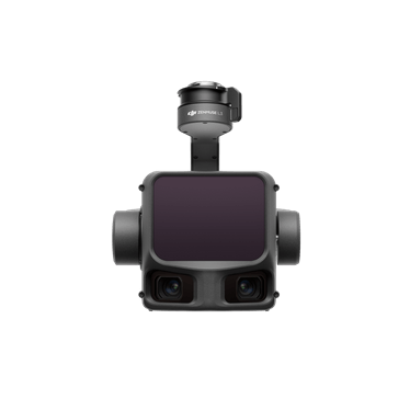
New DJI Zenmuse L3
Long-range, high-accuracy aerial LiDAR system that combines a powerful 1,535 nm LiDAR module with dual 100MP RGB cameras for professional-grade surveying, mapping, and 3D modeling.
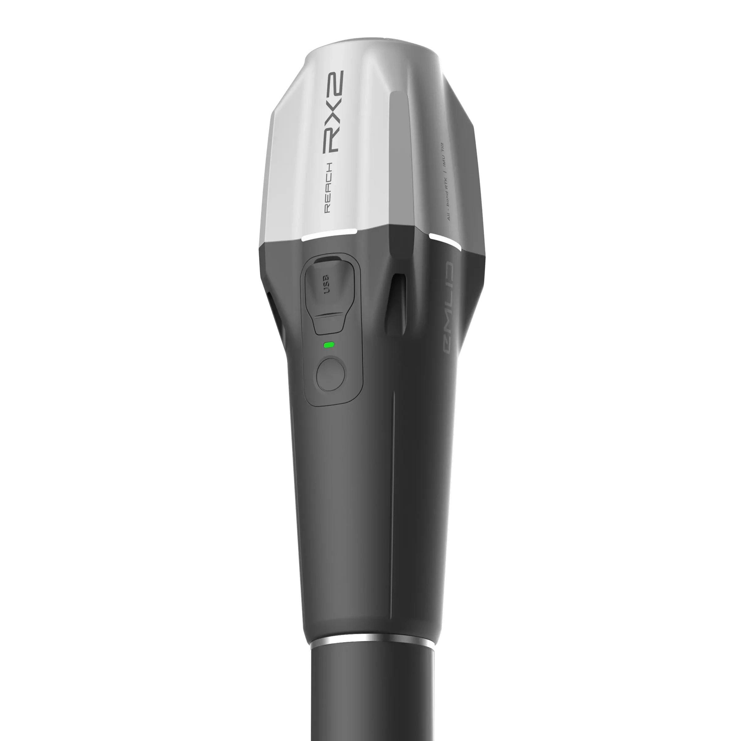
New Emlid RX2
Ultra-portable, all-band RTK GNSS rover featuring IMU tilt compensation for simple, centimeter-accurate surveying and GIS data collection without needing to level the pole.
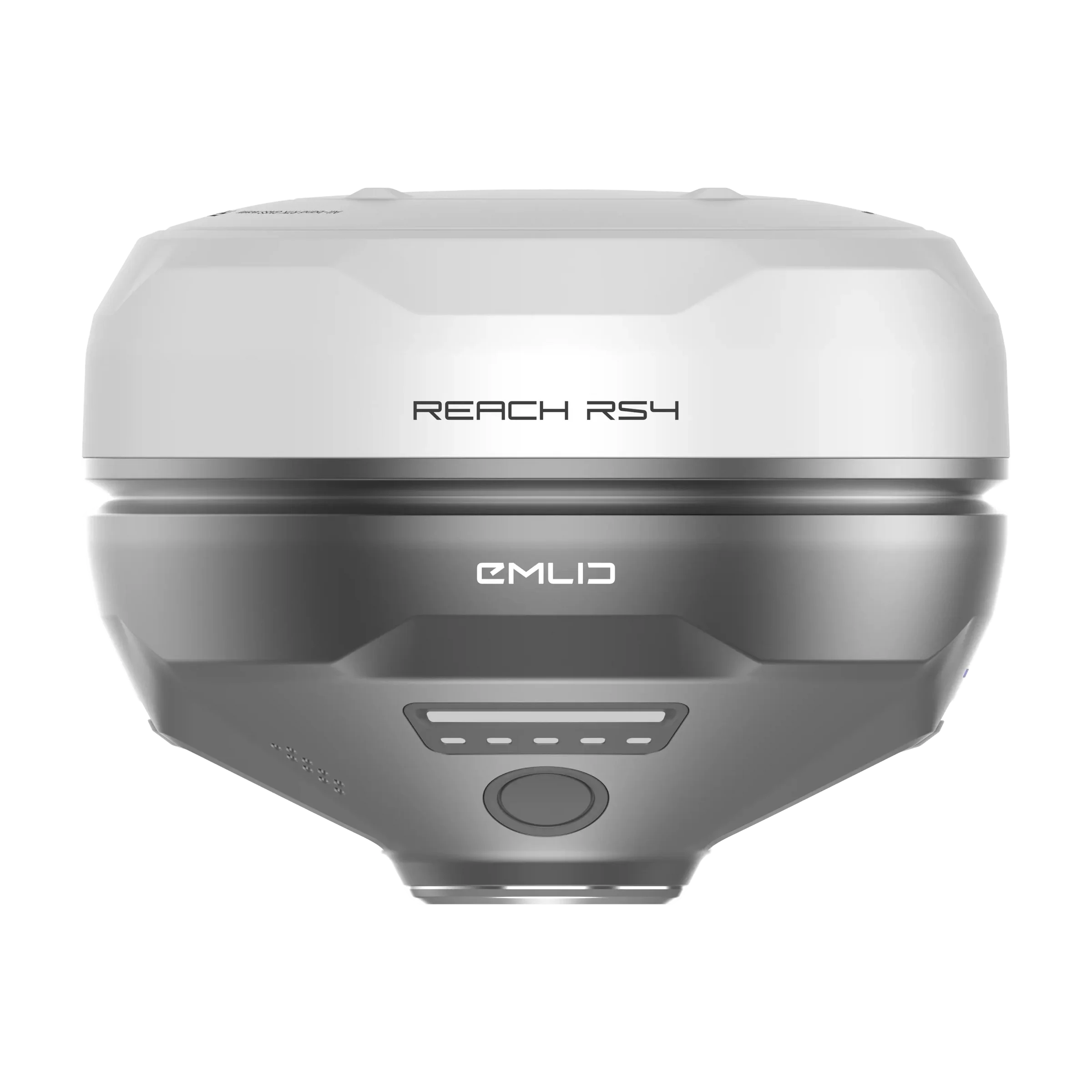
New Emlid RS4
New all-band RTK GNSS receiver designed for professional surveying that provides centimeter-level accuracy with faster tilt compensation and robust performance as both a base and rover.

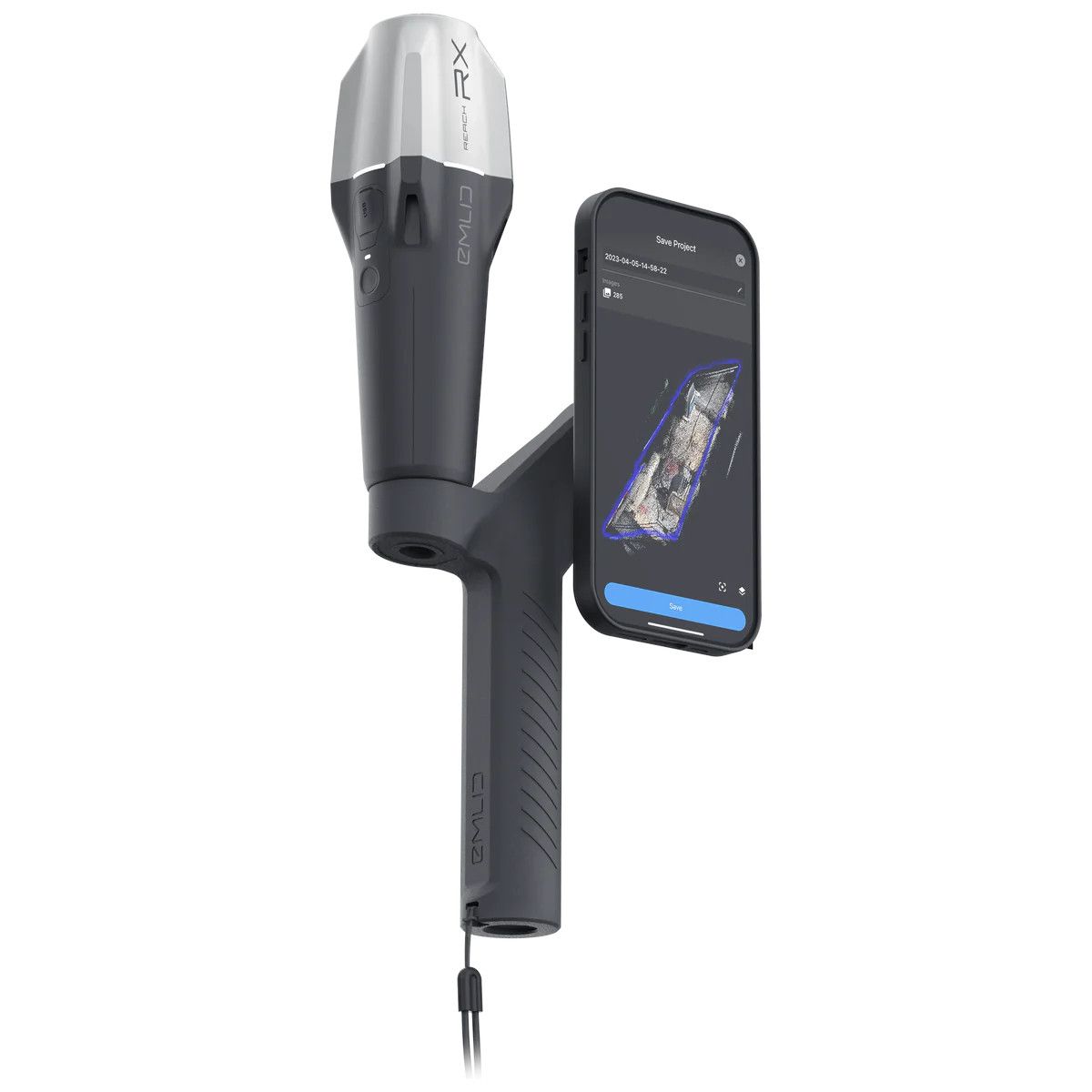
New Emlid RS4 Pro
High-precision RTK GNSS receiver featuring all-band tracking, next-gen IMU tilt compensation, and dual cameras for augmented reality (AR) stakeout and measuring inaccessible points from images.


PIX4D & Emlid scanning kit
Solution for combining terrestrial and aerial scanning with RTK accuracy
New Wingtra LIDAR
Perfectly integrated with the WingtraOne GEN II drone to ensure a streamlined workflow.


New Emlid Reach RS3
Multi-band base and rover
IMU tilt compensation
LTE modem
Dual-band radio
IMU tilt compensation
LTE modem
Dual-band radio


-
 Vista Rápida
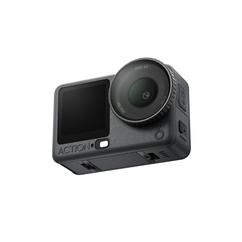
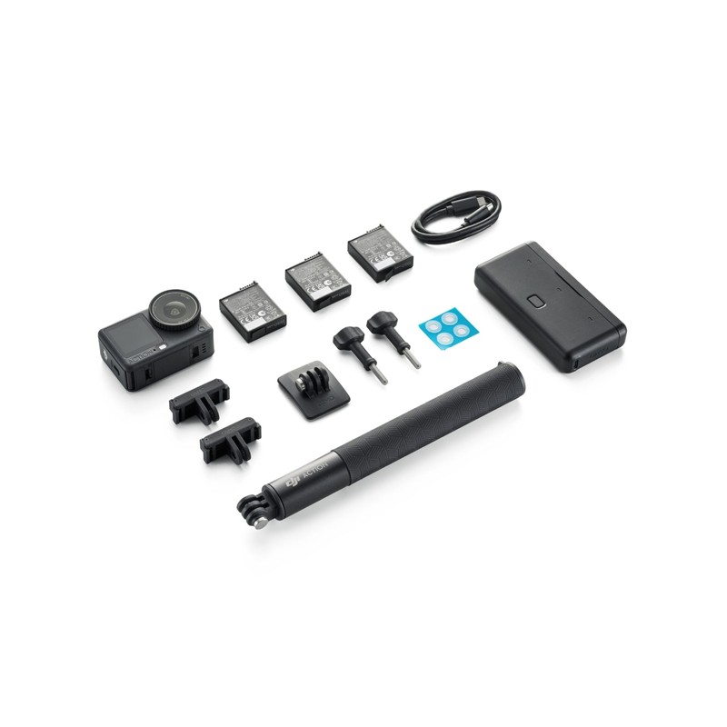
DJI Osmo Action 6 Adventure Combo
397,56 € Exc.VAT (397,56 € Inc.VAT) -
 Vista Rápida
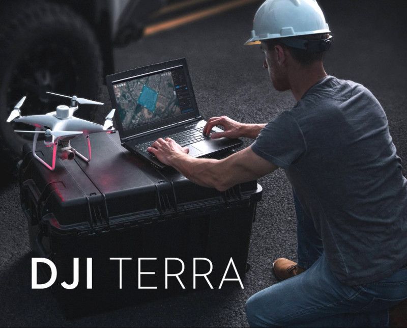
DJI Terra Agriculture 1 Year – 3 Devices
280,49 € Exc.VAT (280,49 € Inc.VAT) -
 Vista Rápida
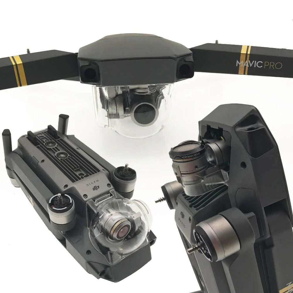
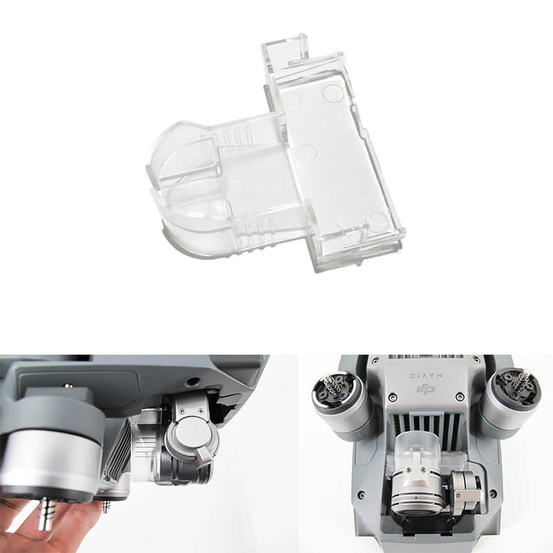
DJI camera protective cover and gimbal lock for Mavic Pro/Platinum
15,00 € Exc.VAT (15,00 € Inc.VAT) -
 Vista Rápida
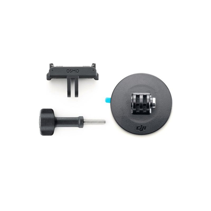
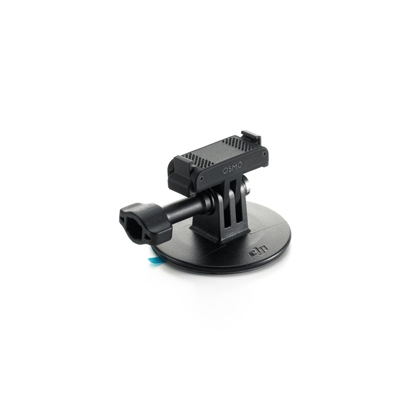
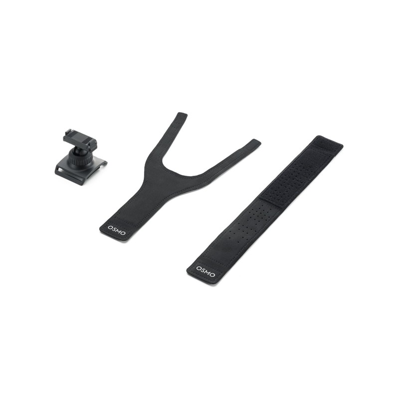
DJI Osmo Adhesive Base Kit (Dual Quick Release)
15,45 € Exc.VAT (15,45 € Inc.VAT) -
 Vista Rápida
DJI Osmo Action 6 Glass Lens Cover
15,45 € Exc.VAT (15,45 € Inc.VAT) -
 Vista Rápida
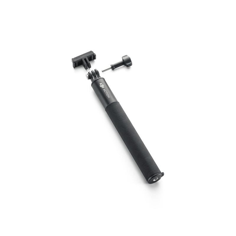
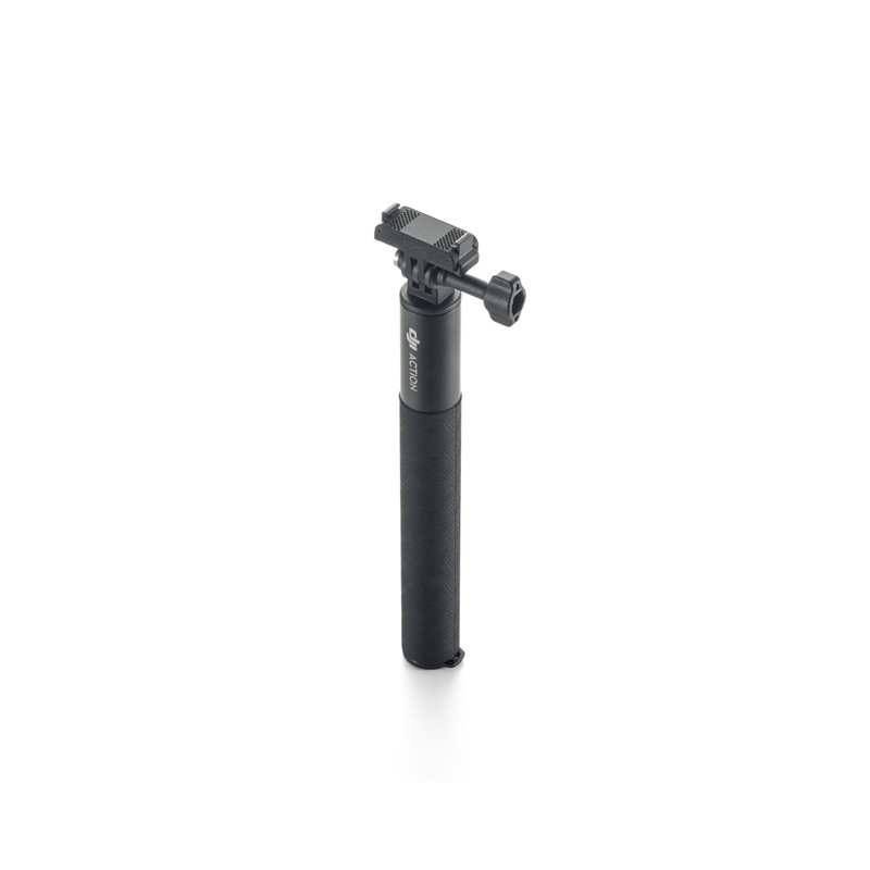
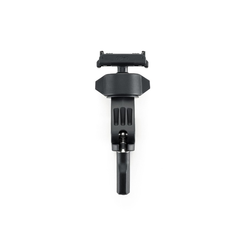
DJI Osmo 1.5m Extension Rod Kit (Dual Quick-Release)
31,71 € Exc.VAT (31,71 € Inc.VAT) -
 Vista Rápida
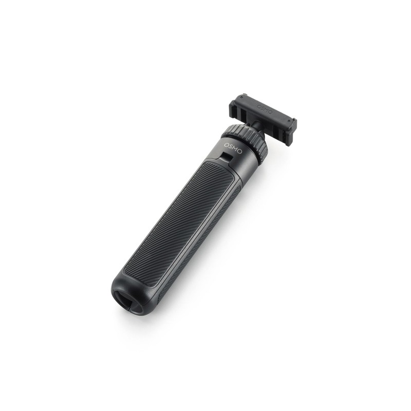
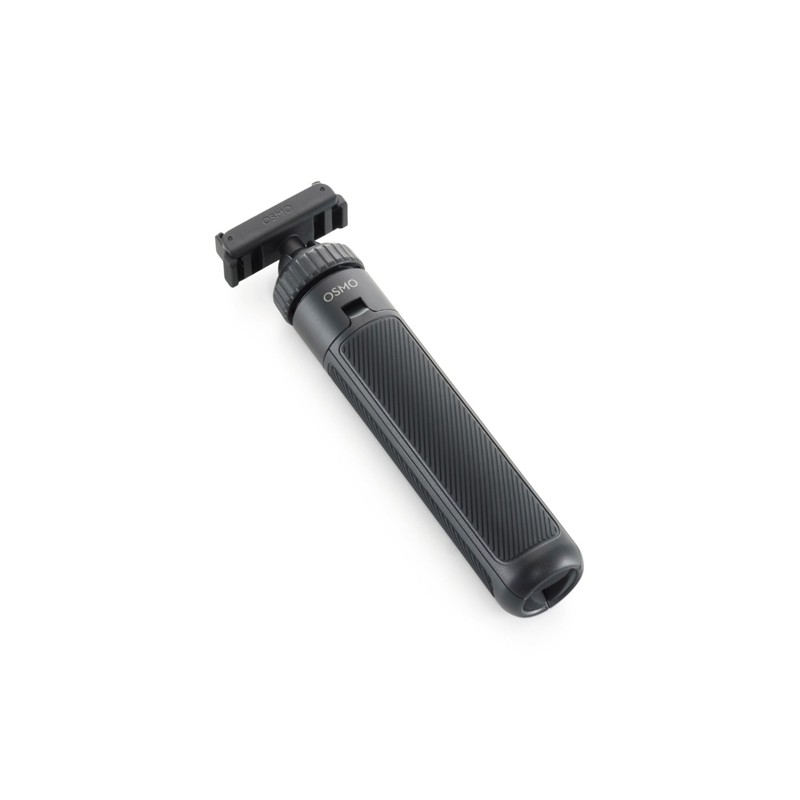
DJI Osmo Action Dual-Direction Mini Extension Rod
31,71 € Exc.VAT (31,71 € Inc.VAT) -
 Vista Rápida
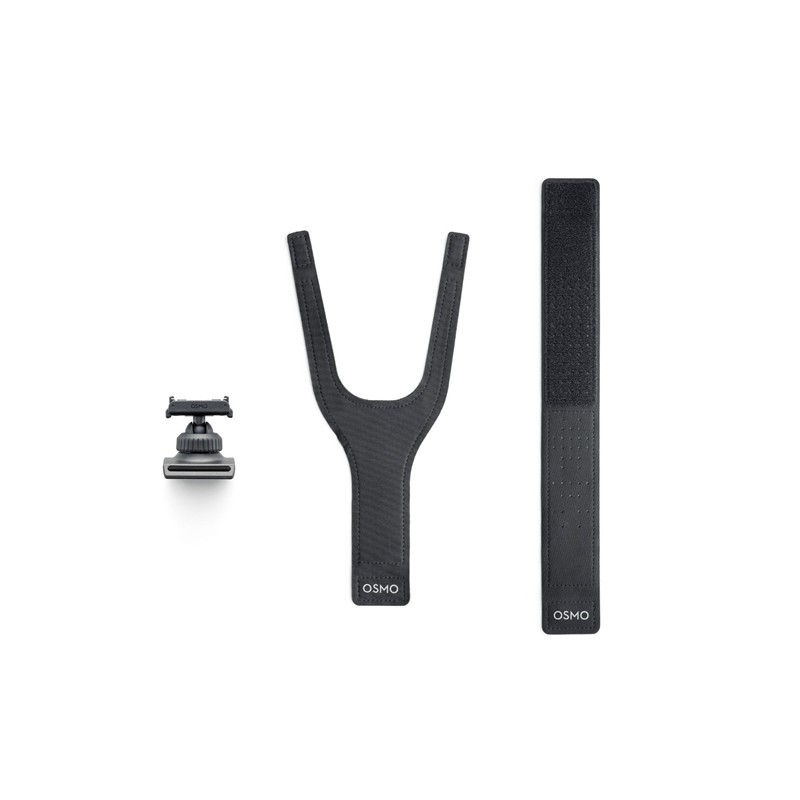
DJI Osmo Action Dual-Direction 360° Wrist Strap
31,71 € Exc.VAT (31,71 € Inc.VAT) -
 Vista Rápida
DJI Osmo Action Dual-Direction Mini Handlebar Mount
31,71 € Exc.VAT (31,71 € Inc.VAT) -
 Vista Rápida
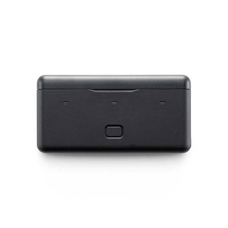
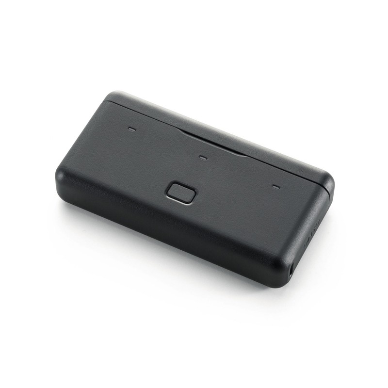
DJI Osmo Multifunctional Battery Case 3
47,97 € Exc.VAT (47,97 € Inc.VAT) -
 Vista Rápida
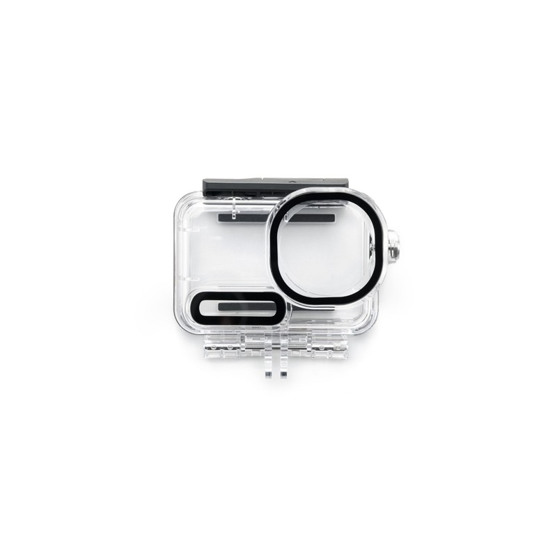
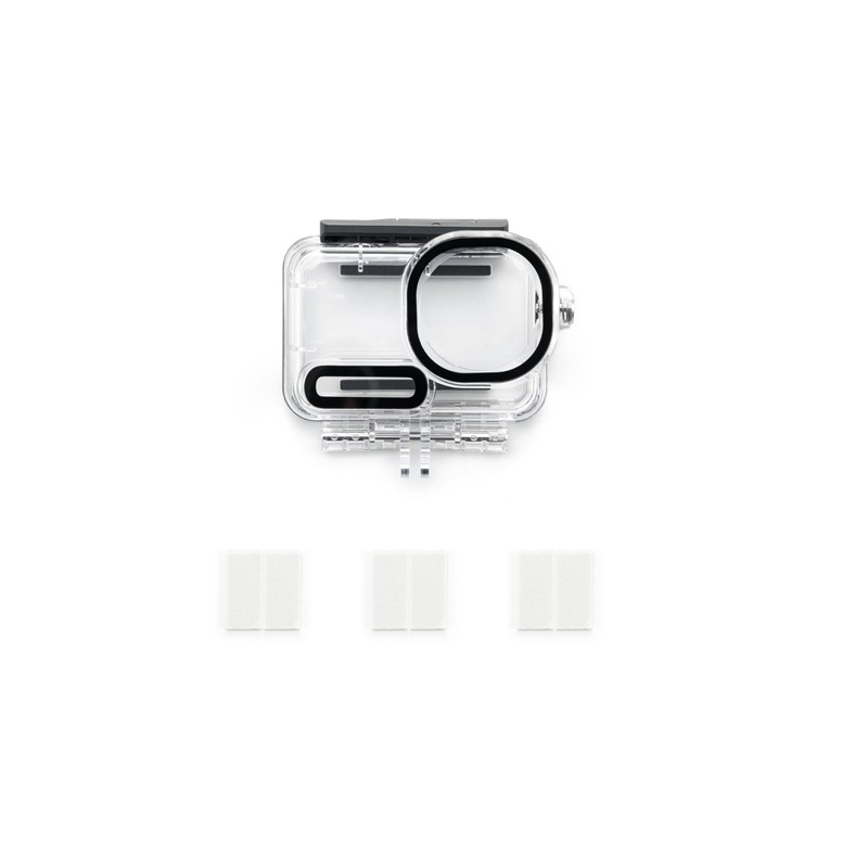
DJI Osmo Action 6 Waterproof Case
47,97 € Exc.VAT (47,97 € Inc.VAT) -
 Vista Rápida
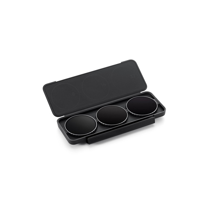
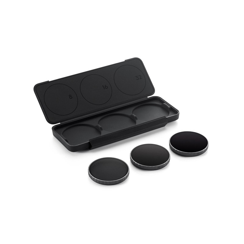
DJI Osmo Action 6 ND Filter Set
47,97 € Exc.VAT (47,97 € Inc.VAT) -
 Vista Rápida
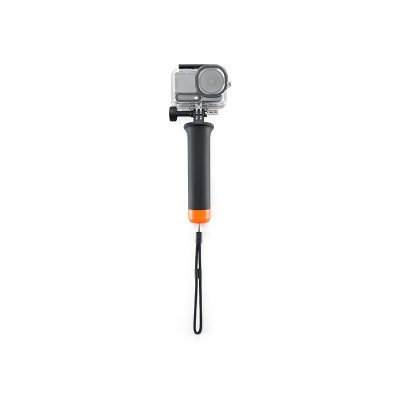
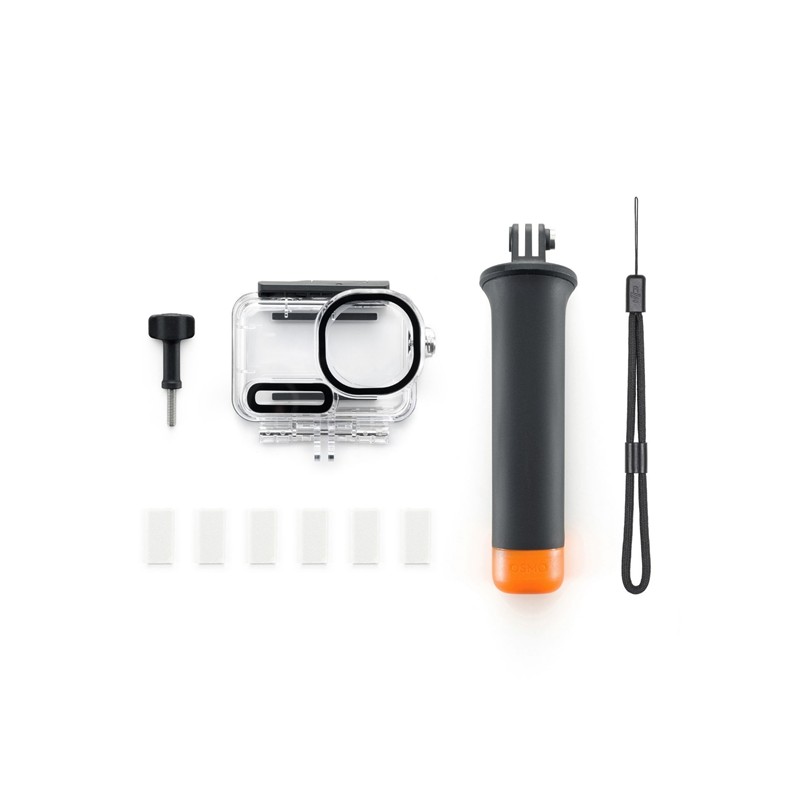
DJI Osmo Action 6 Diving Accessory Kit
64,23 € Exc.VAT (64,23 € Inc.VAT) -

 Vista Rápida
DJI Osmo Road Cycling Accessory Kit (Dual Quick-Release)
64,23 € Exc.VAT (64,23 € Inc.VAT) -
 Vista Rápida
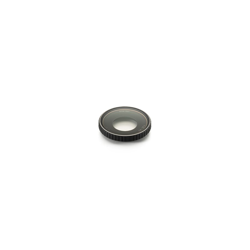
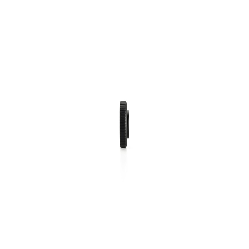
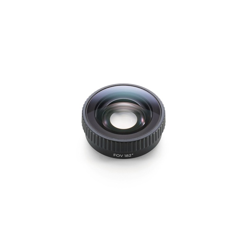
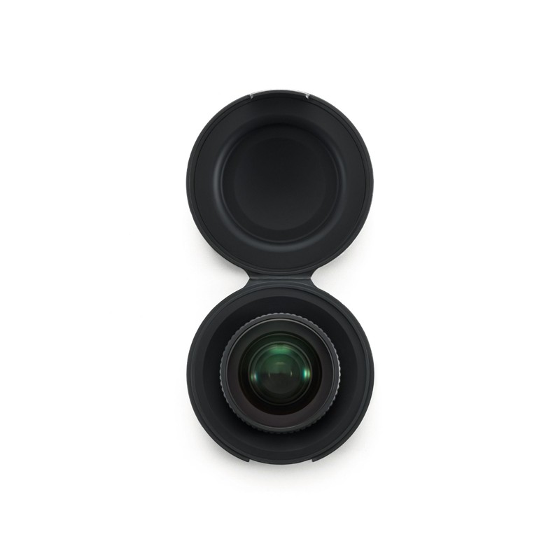
DJI Osmo Action 6 FOV Boost Lens
72,36 € Exc.VAT (72,36 € Inc.VAT)
-
 Vista Rápida
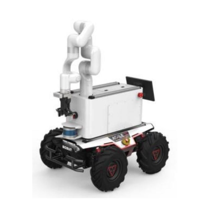
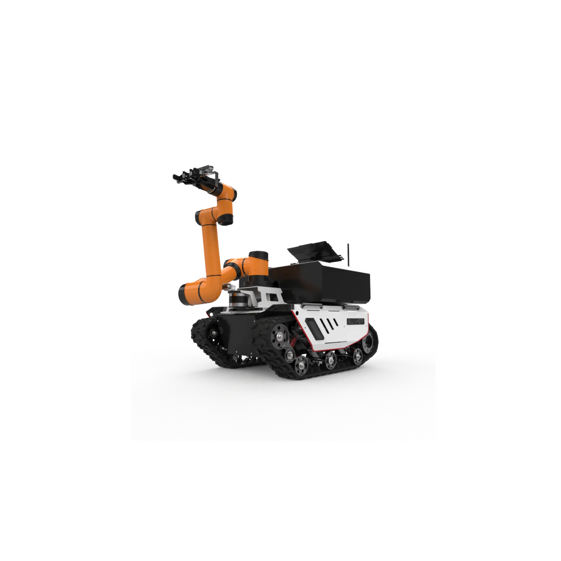
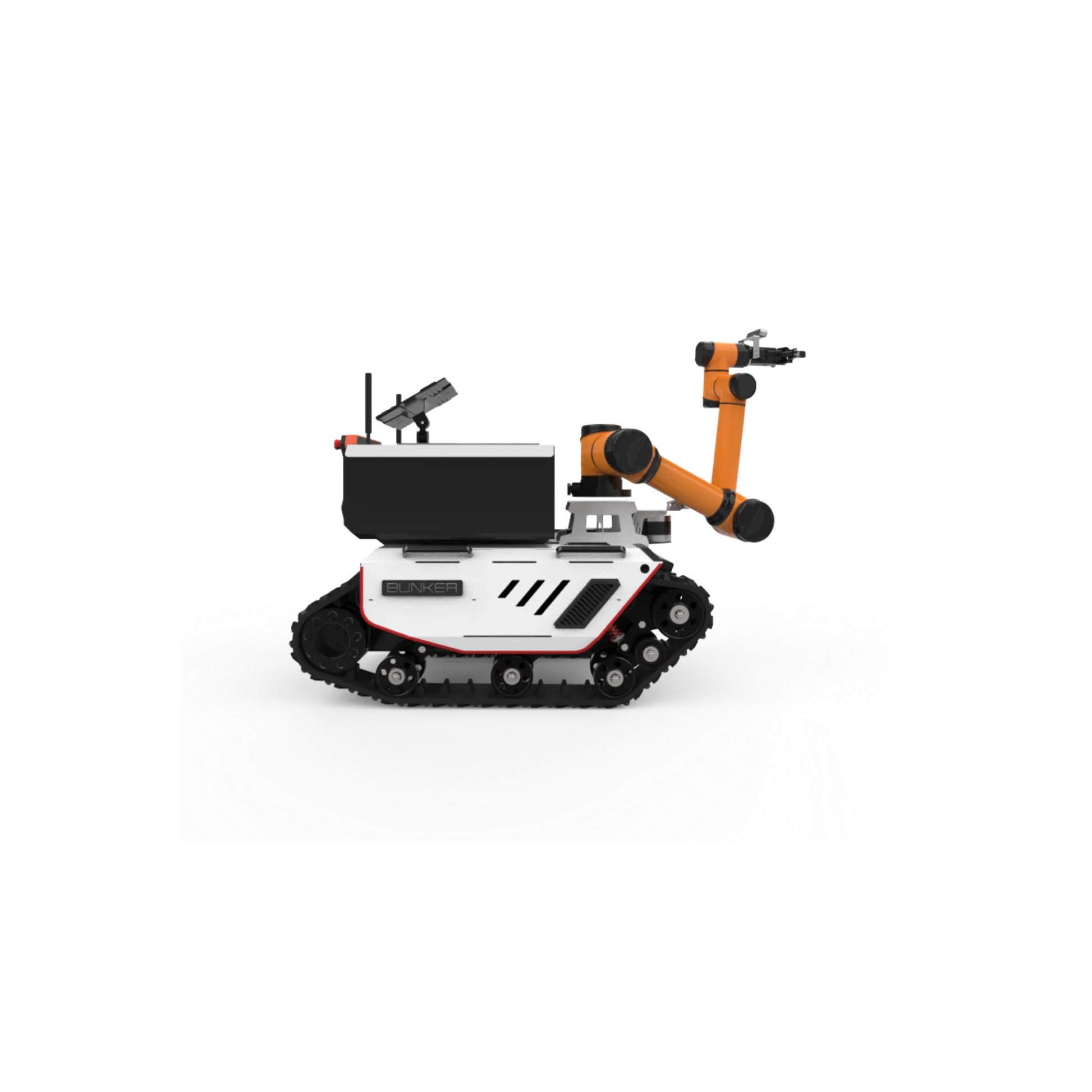
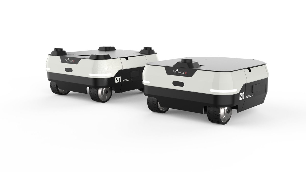
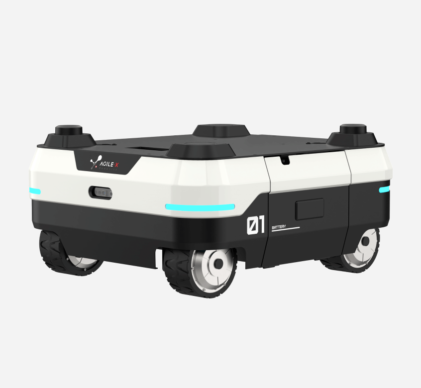
AgileX Ranger Series (Air & Delta)
3.400,00 € Exc.VAT (3.400,00 € Inc.VAT) -
 Vista Rápida
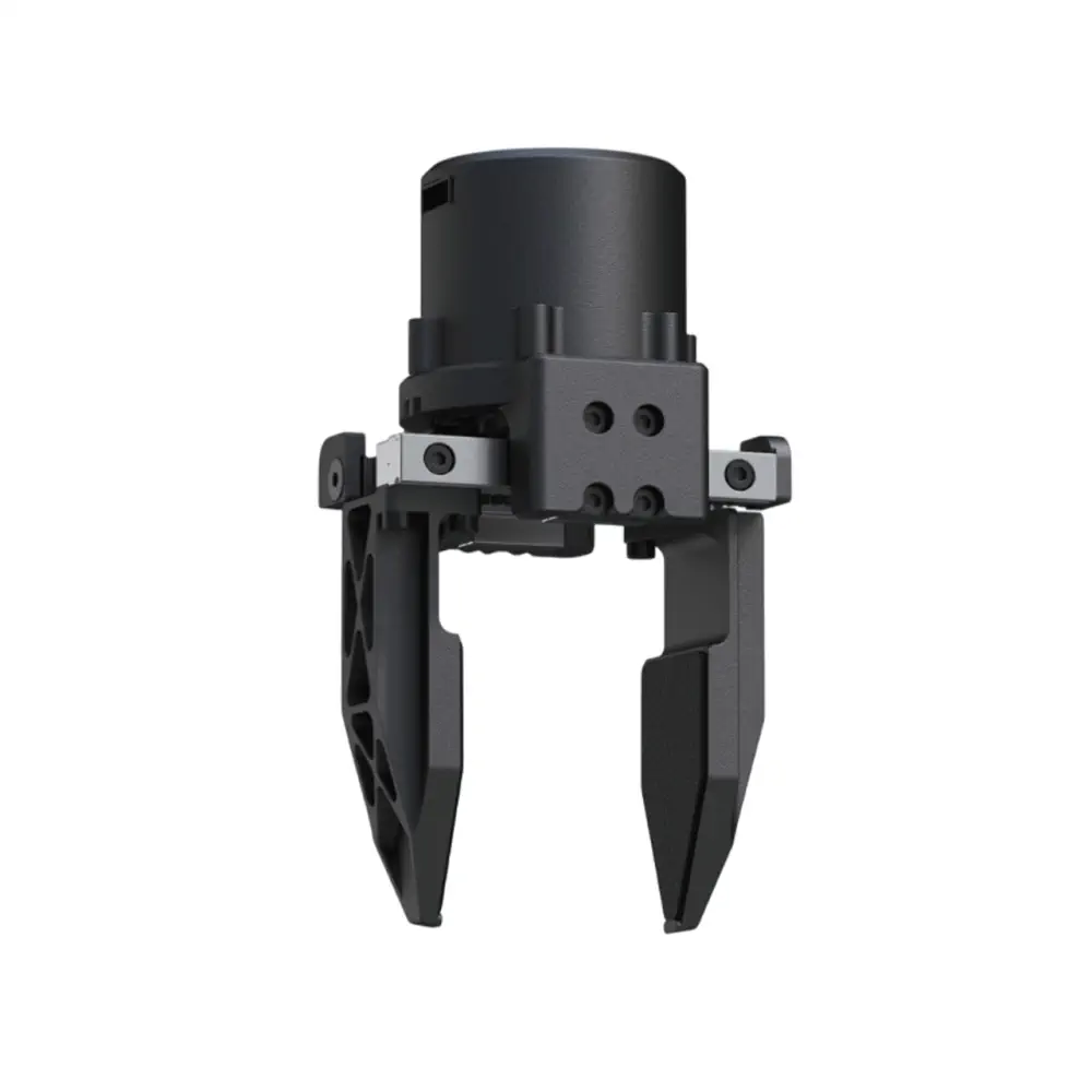
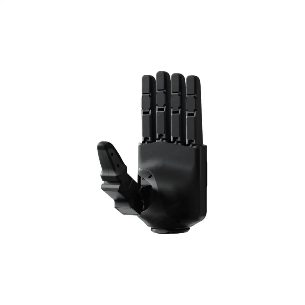
Unitree G1/G1-D Dedicated Dex1-1 Gripper Advanced Edition
600,00 € Exc.VAT (600,00 € Inc.VAT) -
 Vista Rápida
Dex1-1 Gripper Standard Edition
450,00 € Exc.VAT (450,00 € Inc.VAT) -
 Vista Rápida
Unitree G1D
24.800,00 € Exc.VAT (24.800,00 € Inc.VAT) -
 Vista Rápida
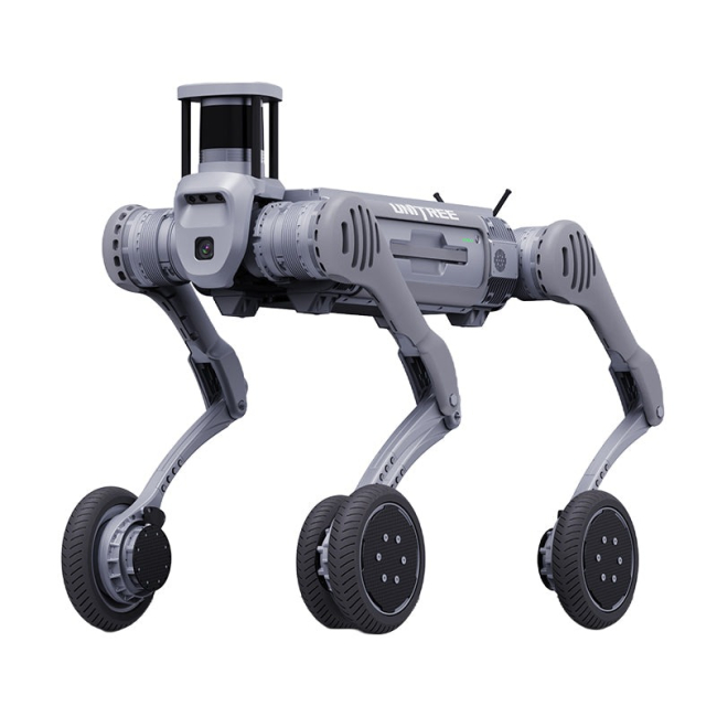
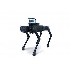
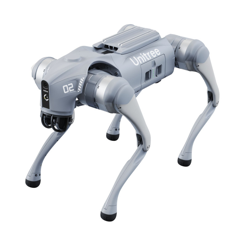
Unitree Go2 Enterprise (U6)
9.990,00 € Exc.VAT (9.990,00 € Inc.VAT) -
Vista Rápida
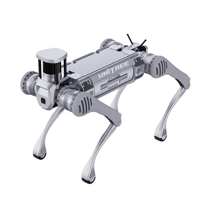
Unitree Go2 Enterprise (U5)
18.490,00 € Exc.VAT (18.490,00 € Inc.VAT) -
Vista Rápida
Unitree Go2 Enterprise (U2)
15.900,00 € Exc.VAT (15.900,00 € Inc.VAT) -
Vista Rápida
Unitree Go2 Enterprise (U1)
11.990,00 € Exc.VAT (11.990,00 € Inc.VAT) -
Vista Rápida
H2 Dedicated Yinsi FTP Series Dexterous Hand – tactile(1x)
7.190,00 € Exc.VAT (7.190,00 € Inc.VAT) -
Vista Rápida
Unitree H2 Dedicated Yinsi DFQ Series Dexterous Hand (1x)
5.990,00 € Exc.VAT (5.990,00 € Inc.VAT) -
 Vista Rápida
Unitree H2 Specific Dex5-1P Five-Finger Dexterous Hand (1x)
11.990,00 € Exc.VAT (11.990,00 € Inc.VAT) -
Vista Rápida
Unitree H2 Specific Dex5-1 Five-Finger Dexterous Hand (1x)
10.500,00 € Exc.VAT (10.500,00 € Inc.VAT) -
 Vista Rápida
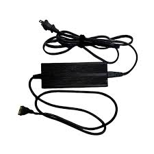
Unitree H2 Charger
380,00 € Exc.VAT (380,00 € Inc.VAT) -
Vista Rápida
Unitree H2 Battery (Single Battery)
2.900,00 € Exc.VAT (2.900,00 € Inc.VAT) -
 Vista Rápida
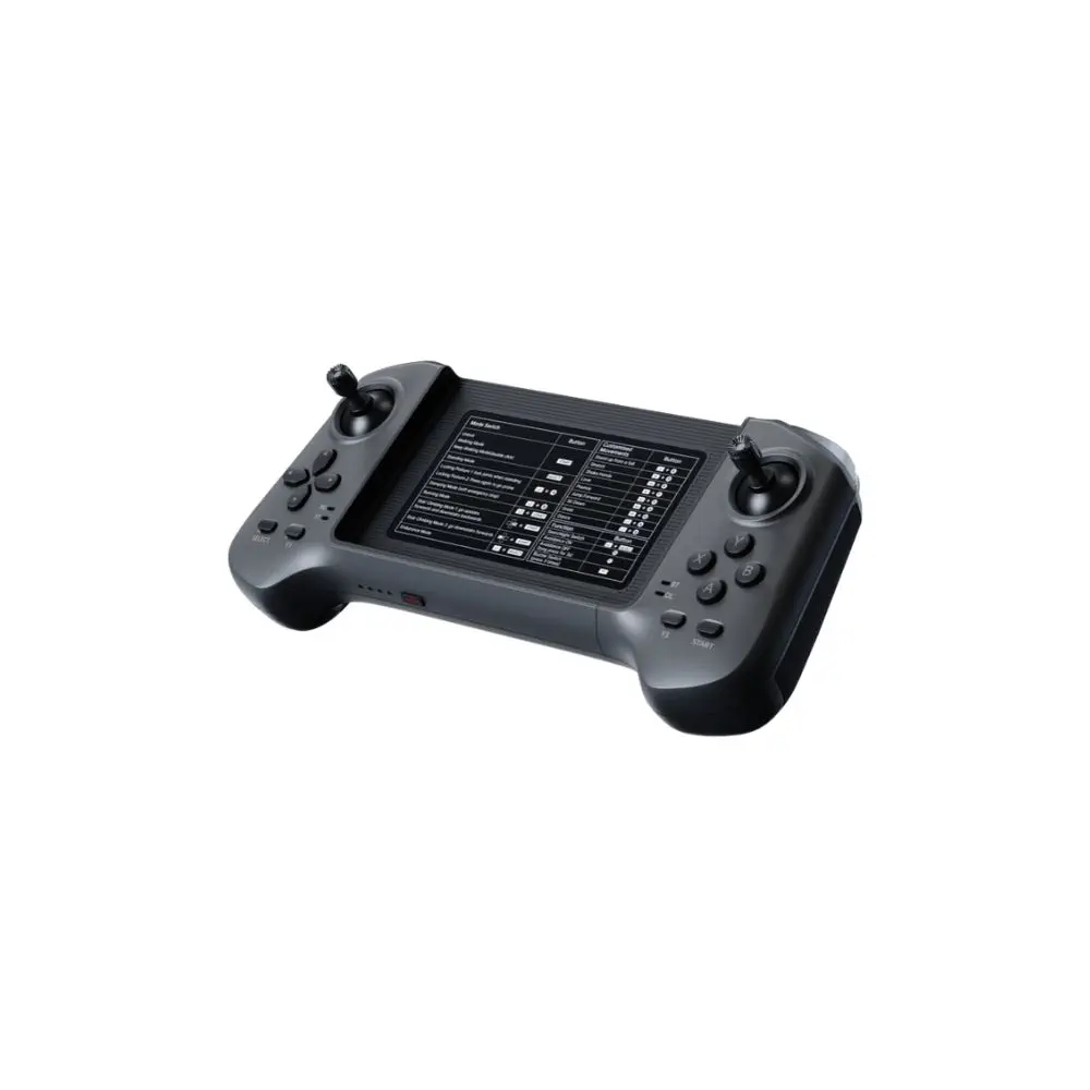
Unitree H2 Dual Hand Remote Controller
390,00 € Exc.VAT (390,00 € Inc.VAT)

-
Sale!

 Vista Rápida
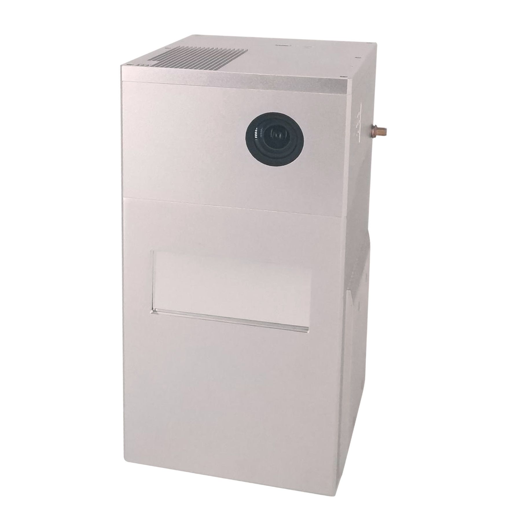
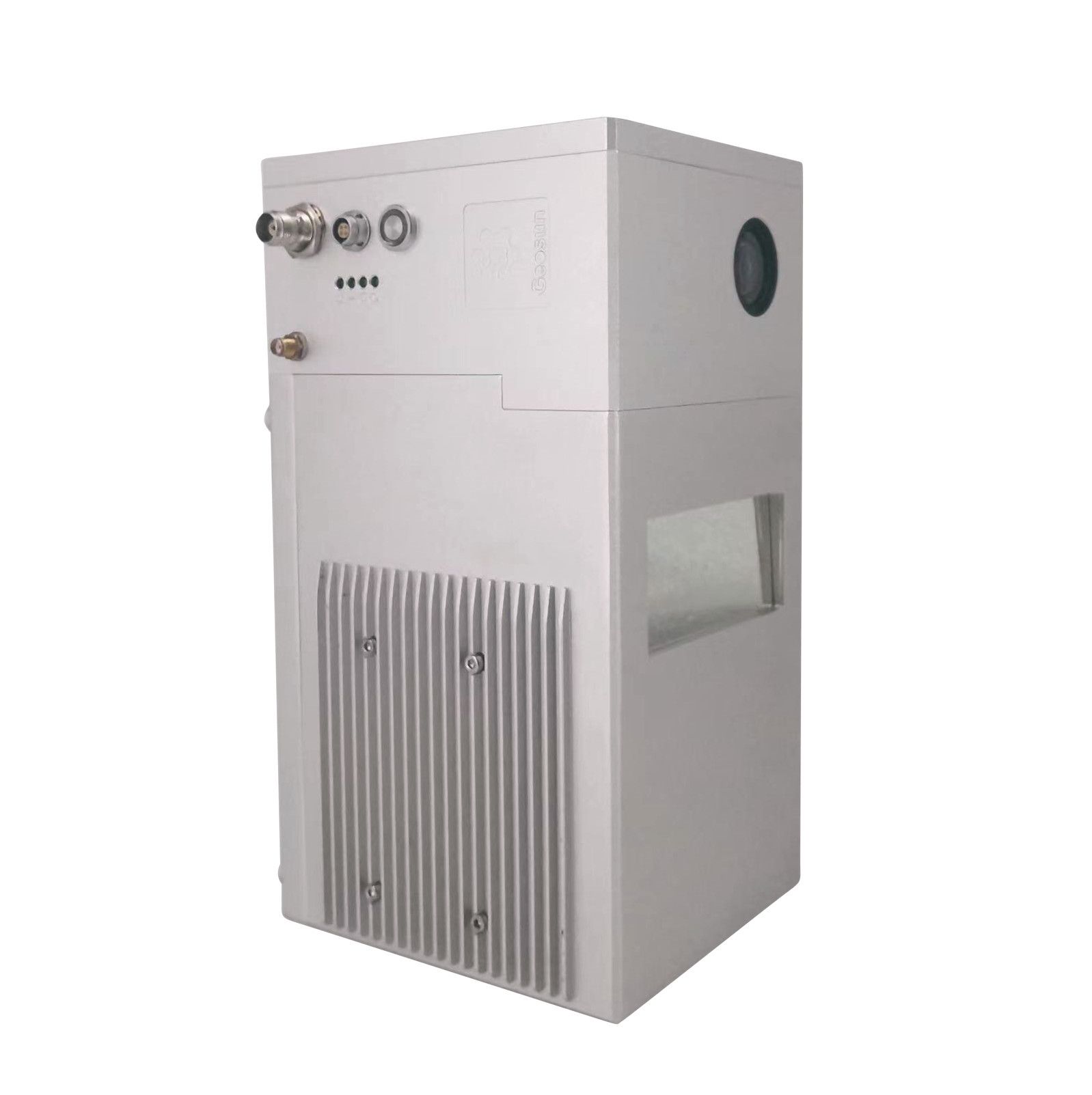
GS-100C+ Lidar
Geosun Lidars Original price was: 11.999,00 €.8.789,00 €Current price is: 8.789,00 €. Exc.VAT (8.789,00 € Inc.VAT) -
Sale!
 Vista Rápida
Pix4DMatic – Perpetual License
Pix4d Original price was: 6.590,00 €.5.996,90 €Current price is: 5.996,90 €. Exc.VAT (5.996,90 € Inc.VAT) -
Sale!
 Vista Rápida
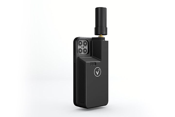
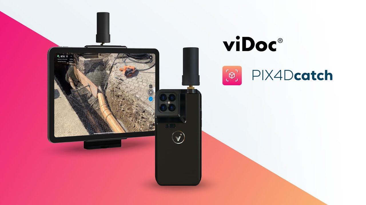
Pix4D viDoc
Pix4d Original price was: 5.490,00 €.4.995,90 €Current price is: 4.995,90 €. Exc.VAT (4.995,90 € Inc.VAT) -
Sale!Vista Rápida
Pix4DMatic – 3-Year License
Pix4d Original price was: 4.990,00 €.4.540,90 €Current price is: 4.540,90 €. Exc.VAT (4.540,90 € Inc.VAT) -
Sale!

 Vista Rápida
Emlid Reach RS3 Survey Kit
Emlid Original price was: 4.988,00 €.4.500,00 €Current price is: 4.500,00 €. Exc.VAT (4.500,00 € Inc.VAT) -
Sale!
 Vista Rápida
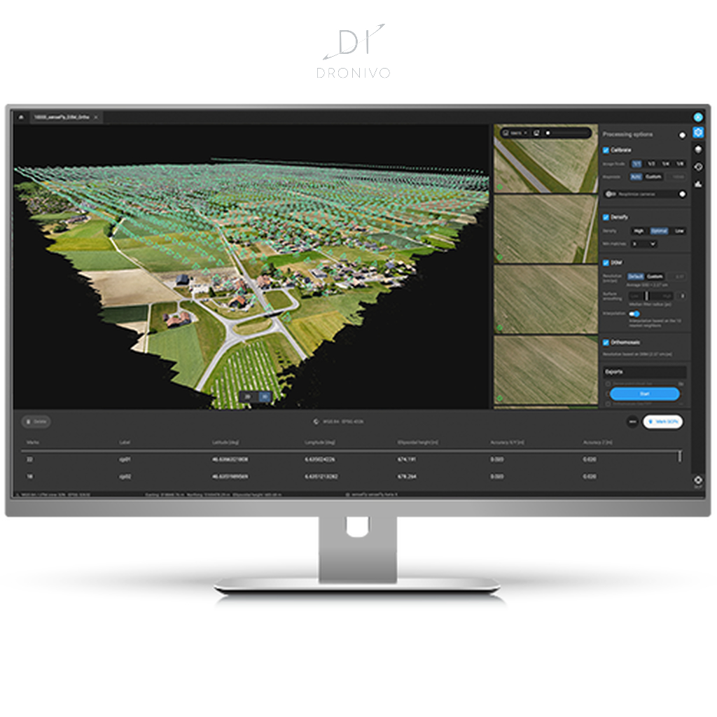
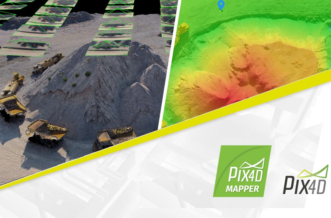
Pix4Dmapper – Perpetual License
Pix4d Original price was: 4.690,00 €.4.267,90 €Current price is: 4.267,90 €. Exc.VAT (4.267,90 € Inc.VAT) -
Sale!
 Vista Rápida
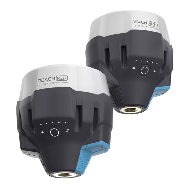
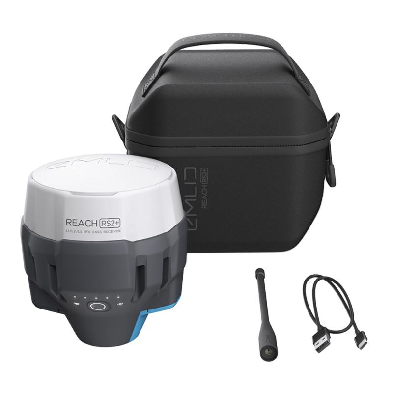
Emlid Reach RS2+ Survey Kit
Emlid Original price was: 4.398,00 €.4.250,00 €Current price is: 4.250,00 €. Exc.VAT (4.250,00 € Inc.VAT) -
Sale!

 Vista Rápida
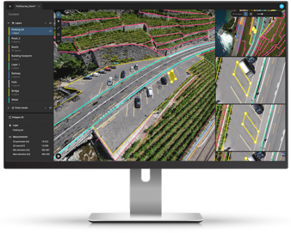
Pix4DSurvey – Perpetual License
Pix4d Original price was: 4.490,00 €.4.085,90 €Current price is: 4.085,90 €. Exc.VAT (4.085,90 € Inc.VAT)

-
-
-
-
-
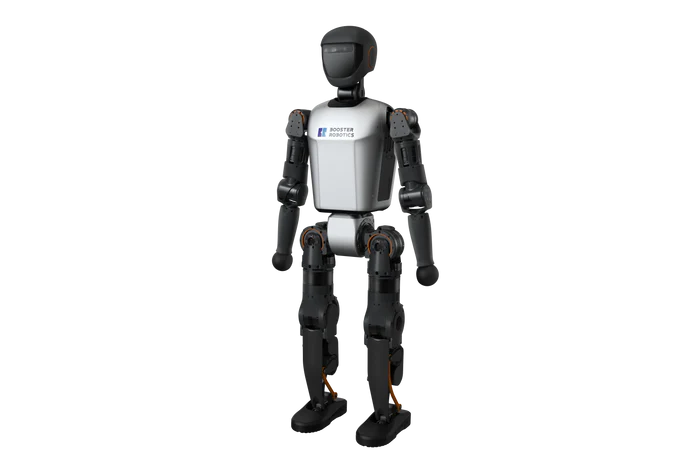
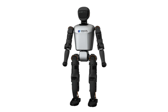 Vista Rápida
Booster T1 Humanoid Robot – Dexterous Hand Version
Booster Robotics 53.900,00 € Exc.VAT (53.900,00 € Inc.VAT) -
-
-
-
 Vista Rápida
DJI Matrice 350 RTK-Worry-Free Basic Combo
DJI Matrice 350 RTK 10.161,79 € Exc.VAT (10.161,79 € Inc.VAT) -
-
-
-
 Vista Rápida
DJI Mavic 3M (Multispectral) – Free Basic Combo – 1 Year
DJI 3.727,64 € Exc.VAT (3.727,64 € Inc.VAT) -
 Vista Rápida
DJI Mavic 3E (Enterprise) Worry-Free Basic Combo – 1 Year
DJI 2.899,00 € Exc.VAT (2.899,00 € Inc.VAT) -
-
-
Sale!
 Vista Rápida
Pix4Dmapper – Perpetual License
Pix4d Original price was: 4.690,00 €.4.267,90 €Current price is: 4.267,90 €. Exc.VAT (4.267,90 € Inc.VAT) -
Sale!Vista Rápida
Pix4Dmapper – Yearly Subscription License
Pix4d Original price was: 2.900,00 €.2.639,00 €Current price is: 2.639,00 €. Exc.VAT (2.639,00 € Inc.VAT) -
-
-
 Vista Rápida
 -
-
-
 Vista Rápida
Agisoft Metashape Standard, Node-Locked Educational license, Single
Agisoft 54,00 € Exc.VAT (54,00 € Inc.VAT)
-
Sale!Vista Rápida
Emlid Reach RS3 Survey Kit
Emlid Original price was: 4.988,00 €.4.500,00 €Current price is: 4.500,00 €. Exc.VAT (4.500,00 € Inc.VAT) -
Sale!Vista Rápida
Emlid Reach RS2+ Survey Kit
Emlid Original price was: 4.398,00 €.4.250,00 €Current price is: 4.250,00 €. Exc.VAT (4.250,00 € Inc.VAT) -
-
-
Sale!Vista Rápida
Emlid Reach RS3
Emlid Original price was: 2.499,00 €.2.199,00 €Current price is: 2.199,00 €. Exc.VAT (2.199,00 € Inc.VAT)
