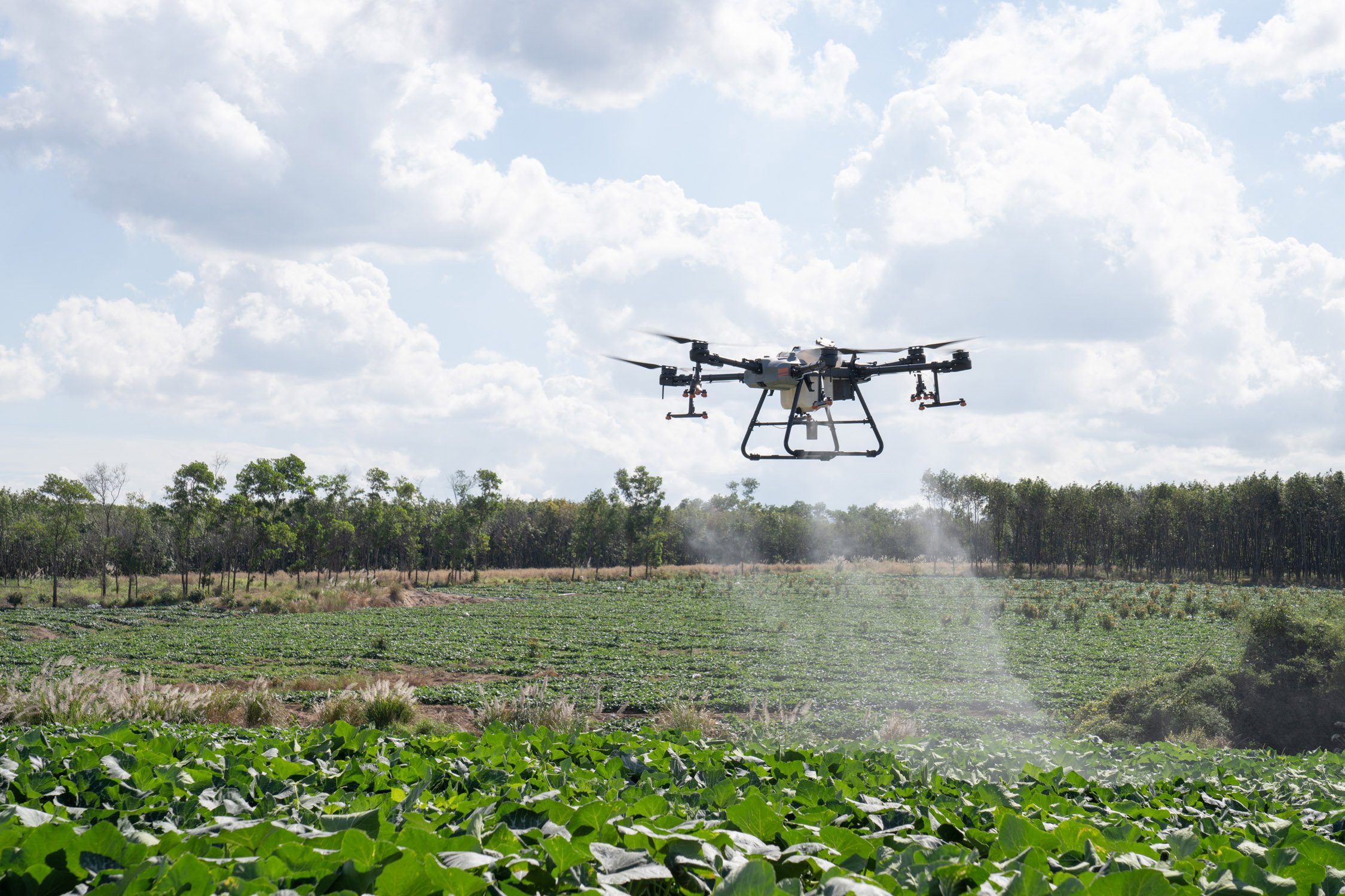
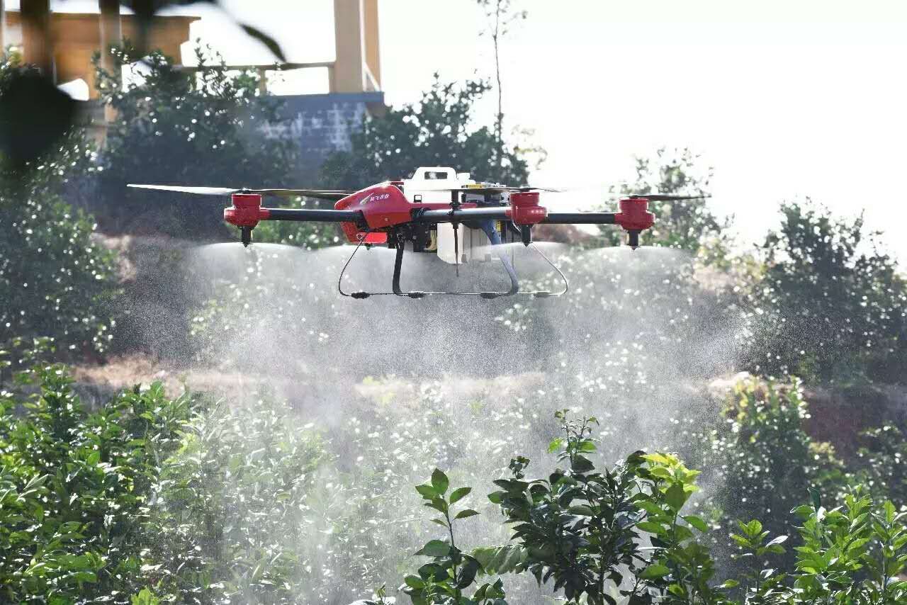
cropped-digital-surface-model
Agriculture
Advanced mapping in less time

Use of drones in Agriculture

  • Monitor plant health

  • Perform plant count

  • Optimize plant ROI

  • Assess losses after major weather event

  • Autonomous Spray and Seed

 The WingtraOne professional drone produces multispectral imagery to provide accurate plant counts or identify plants’ health problems early on. This data can be used to prevent costly spread of diseases or invasive species. It can also provide valuable insights to boost yield productivity. Drones also provide professional solutions for spray and seed fields.

Benefits of drones and sensors in agriculture

Scout your fields in less time

Drones provide an immediate snapshot of a field in a fraction of the time it would take to scout on foot. Cover hundreds of hectares in a single flight, capturing data that helps detect and identify variability and areas of crop stress.

Capture precise data that drives decisions and actions

Use drone data to generate prescription maps and plans, focusing treatments more efficiently and reducing costs. Gain insights that complement other agronomic tools. E.g., for soil / leaf sampling, instead of randomized sampling, drone data can direct you to the best places to sample, saving time and money.

Efficiently track crops over time, for research or production

Track how crops are progressing from emergence through harvest. Accurately monitor fields for phenotyping and other research applications. Periodic capture of calibrated data from professional multispectral sensors offers insights into crop health regardless of illumination changes, giving you the needed data to derive quantitative trends.

APPLICATIONS OF DRONES AND SENSORS IN AGRICULTURE

Main applications

A quality drone and multispectral camera system can detect disease and stress early (sometimes before it is visible from the ground or with standard color cameras).

Use this information, coupled with proven agronomic methods, to focus your treatment plans.
  • Detecting chlorosis in a plum tree orchard. Trees in red have a lower value for an index that is linked to chlorophyll content.
  • Prescription maps can also be generated for automated seeding.

Multispectral data is a key tool that, when combined with other established agronomic methods, enables prescription maps for treatments (fertilizer, herbicide), reducing costs and improving efficiency.

Use drone maps, digital surface models, and terrain models for irrigation and drainage management.

Multispectral data can also help identify leaky irrigation pipes or areas that need more water.
  • Topography of fields from multispectral or RGB imagery guides drainage and irrigation planning.
  • Measuring the effectiveness of fungicide treatments in a barley research field. The vegetation index NDVI is shown here, with higher values (more healthy plants) shown in green.
Quickly and effectively measure and track performance in small test plots.

Calibrated data that accounts for changing lighting conditions allows you to track trends over time.
Drone data provides critical information for measuring and documenting damage to crops caused by floods, fire, pests, weather events, etc.

These reports can complement and reinforce insurance claims.
  • Flood damage assessment and documentation for insurance claim.

High resolution cameras on drones, and plant-counting algorithms can accurately and efficiently provide inventory information, track crop emergence, drive replanting decisions and help predict yield.

Demonstração

Agricultura de precisão – WingtraOne e Micasense Rededge-MX

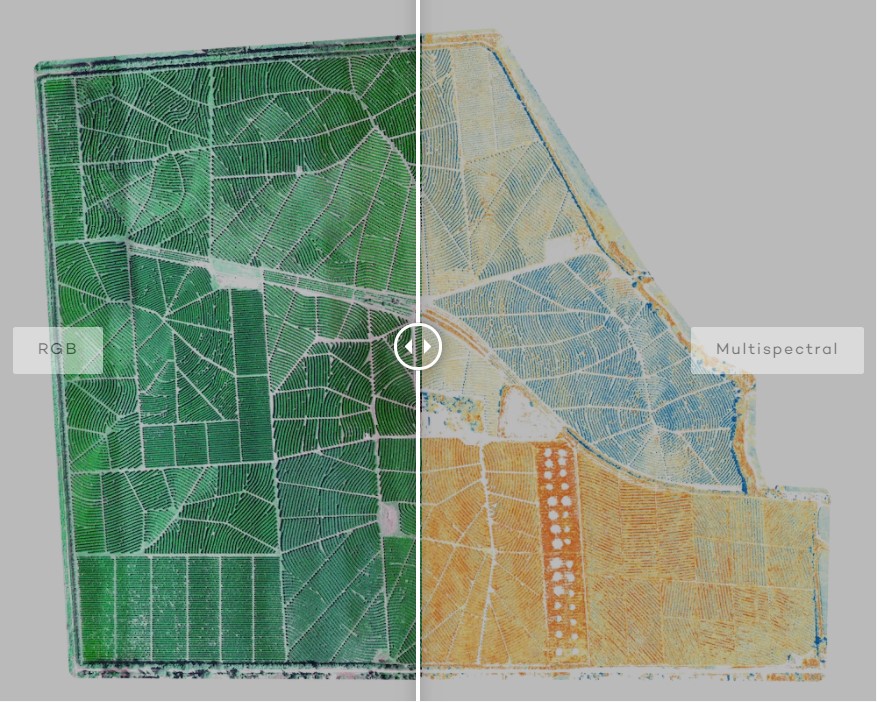
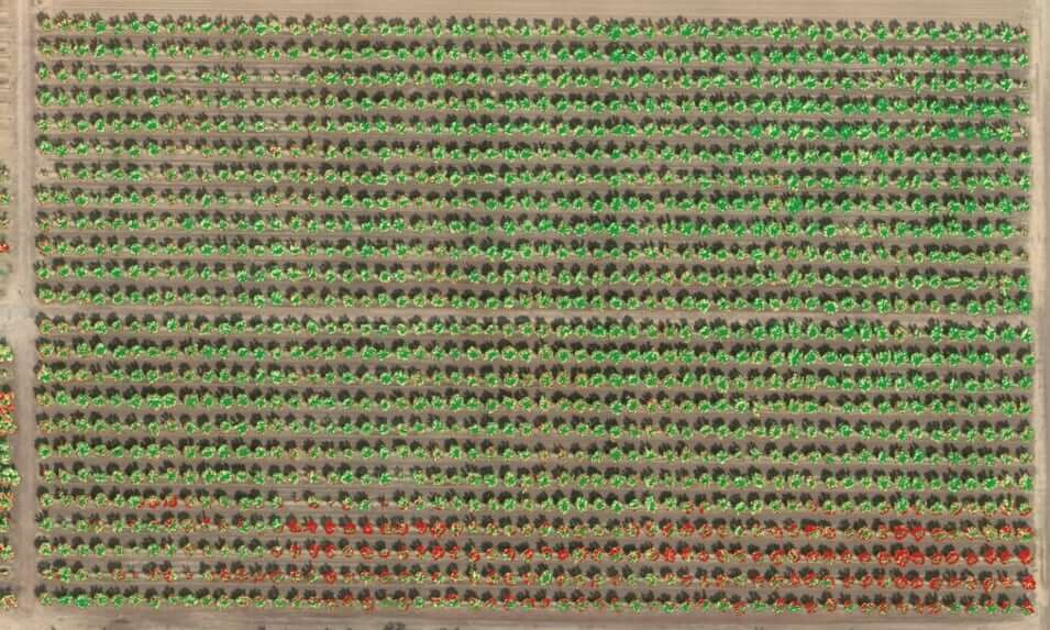
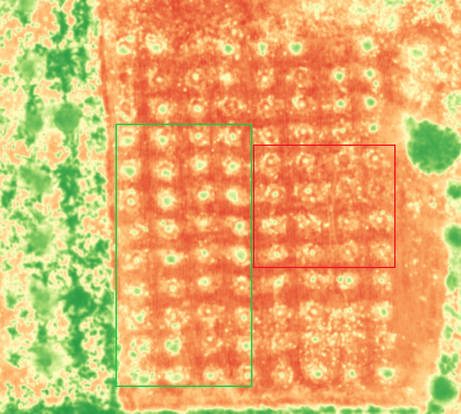
Mapear a saúde da vegetação O WingtraOne tem a capacidade da utilização de payloads com câmaras multiespectrais topo na sua […]

Improving Farm Efficiency

AERIAL SPRAYING, SEEDING, WATERING

Aerial Spraying

Aerial spraying drones are tank-carrying UAVs that spray crops with fertilisers or pesticides.

Unlike a traditional tractor, drones can spray crops more precisely.

Because they can be programmed to spray an even amount of liquid in all necessary sections, there’s no risk of overdosing your crops.

Aerial Seeding

Aerial seeding is one of the functions of drones where they fly over a specific terrain equipped with a smart dispersal mechanism to plant-specific species to designated areas.

If surveying was done right, the drone will have data on soil hardness and adjust the pressure for firing the seed pods, so the soil is penetrated effectively. Depending on the drone make and model, you can efficiently seed acres of land in just hours.

This minimises the need to hire additional labourers. Additionally, you can keep your farmers safer by deploying drones in hard to access areas.

Aerial Watering

One of the biggest advantages of using a drone for watering is its ability to track water needs.

Using infrared technology, an aerial vehicle like this will be able to determine water absorption levels.

This means that the user will have access to data on which areas are getting too little, the right amount, or too much water. Built-in sensors will also trigger notifications so the user knows when the drone tank water levels are low.