Zonmap, o co-piloto digital para o Sucesso!
cropped-digital-surface-model
Orthomosaic maps
-
2D georeferenced orthomosaic maps
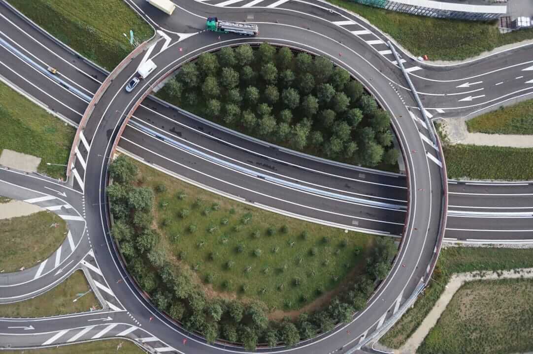
2D orthomosaic maps contain the location (exact X and Y coordinates) and color information of each point on the map. These aerial maps can be used for linear (distance) and surface calculations as well as alteration monitoring.
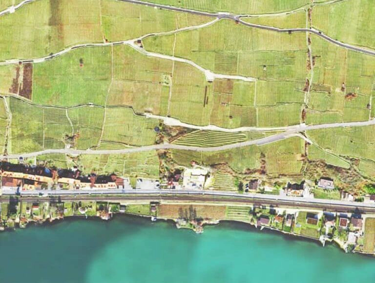
Wingtra’s customer Geoplan Team uses orthomosaic maps to maintain and organize the merger of vineyards in Western Switzerland.
USE CASES
-
Cadastral plan
-
Land measurement and planning
-
Road, power line construction
-
Field boundaries
-
Distance and area calculation
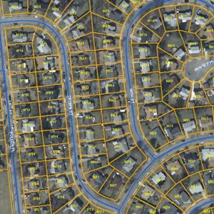
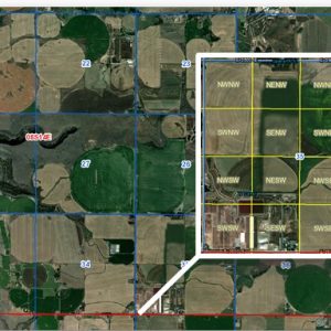
Cadastrial plan
Land measurement
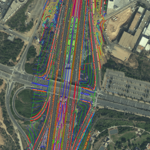
Highways
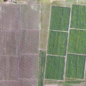
Field boundaries
