Solução Perfeita para obtenção de resultados únicos – O seu projeto nunca esteve em melhores mãos!

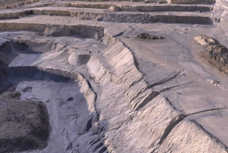
cropped-digital-surface-model
3D Reconstruction
-
3D point cloud
-
Orthomosaic
-
Texture map
-
Digital surface and terrain model (DSM, DTM)
-
Contour lines
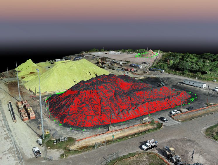
3D data can be turned into 3D models, point clouds, digital surface and terrain models, elevation maps, photorealistic reconstructions and more. These high-resolution aerial imagery outcomes provide volume, distance, surface area and elevation calculations used in mining operation planning, stockpile inventories, topography depiction and generating photorealistic models.

Wingtra’s customer Geoplan Team uses orthomosaic maps to maintain and organize the merger of vineyards in Western Switzerland.
USE CASES
-
Stockpile measurement
-
Inventories and auditing
-
Recurring mine planning
-
Construction site reconstruction
-
Contour mapping
-
Inspection
-
Surface
-
Volume and elevation measurement


